How’s your German? Don’t know what it means…well I’ll tell ya. Once again it is one of my clever plays (or annoying) on a famous phrase. The words translate to “Turkey and Iron,” as yesterday was Thanksgiving here in Canada, and I spent Sunday looking at iron mines. So, what’s the connection here you ask? In September 1862 then Prussian Chancellor Otto von Bismarck gave a famous speech where he stated that German unification would come through “blood and iron” (blut und eisen). Since my weekend was spent with turkey and iron, I thought it made for a slick little title. Funny huh?
So jokes aside, I did have a good past week. I even got a chance to get out hiking, which did make me very happy. If you take a few minutes, I will regale you with the details of the past seven days.
Well, we have now moved into October; that’s means there is only 9 more months to go until summer! I have to be optimistic right? Things are trucking along as usual, but I did get some good news. The approval for the 2014 trip came through on Thursday…Europe here we come! There is a meeting scheduled for Friday, so hopefully we get the 18 travellers we are looking for. I know there are a few students in a couple of my classes that are pretty pumped about the opportunity. We’ll see what happens.
Last week we played our second football game of the season and were able to even our record at 1 and 1. It was a tough fight against Hammarskjold, but we slogged out a 37-33 win. Unfortunately the performance of my defence was less than stellar, as we should have won handily. We just couldn’t contain their jet sweep. Thankfully the offense bailed us out, with one of running backs scoring all 5 TD’s (3 run, 1 pass and 1 return). With a short turnaround this week, we’ll have our hands full with Churchill.
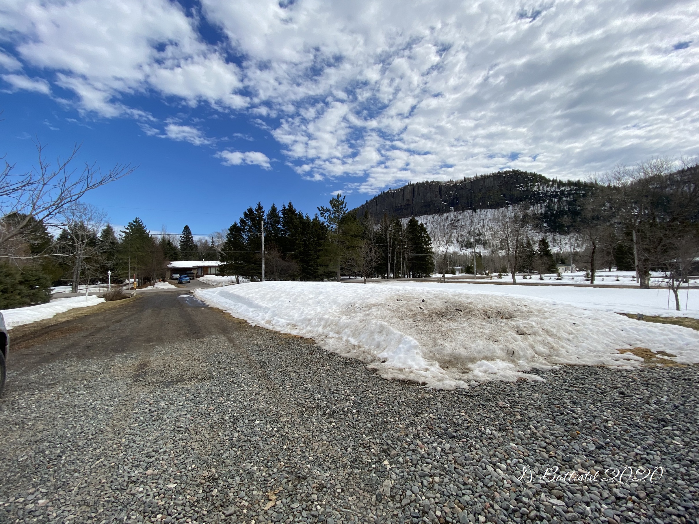
Clearly the most interesting part of my week was the trip to Minnesota to hike the railway along the Centennial Trail. This trail was constructed in 2009 after the Ham Lake Fire two years earlier and covers portions of the line near the Paulson Mine. This would be my fifth trip to the area, and the second this year (remember I visited the north arm of the trail back in June). In addition to doing some important research, I would be guiding fellow railway historian Elinor Barr and my research colleague Harold Alanen.
With 2.5 hours of travel time, our journey would begin very early in the morning. Joining me was my eldest son Ethan, but I don’t think he was too impressed with the 7:00am wake up call. Thirty minutes later we were on the road, our first destination being Grand Marais for an early breakfast with Elinor and Harold at the Blue Water Café. After filling up on some eggs, bacon and pancakes, it was off for another hour of driving up the Gunflint Trail.
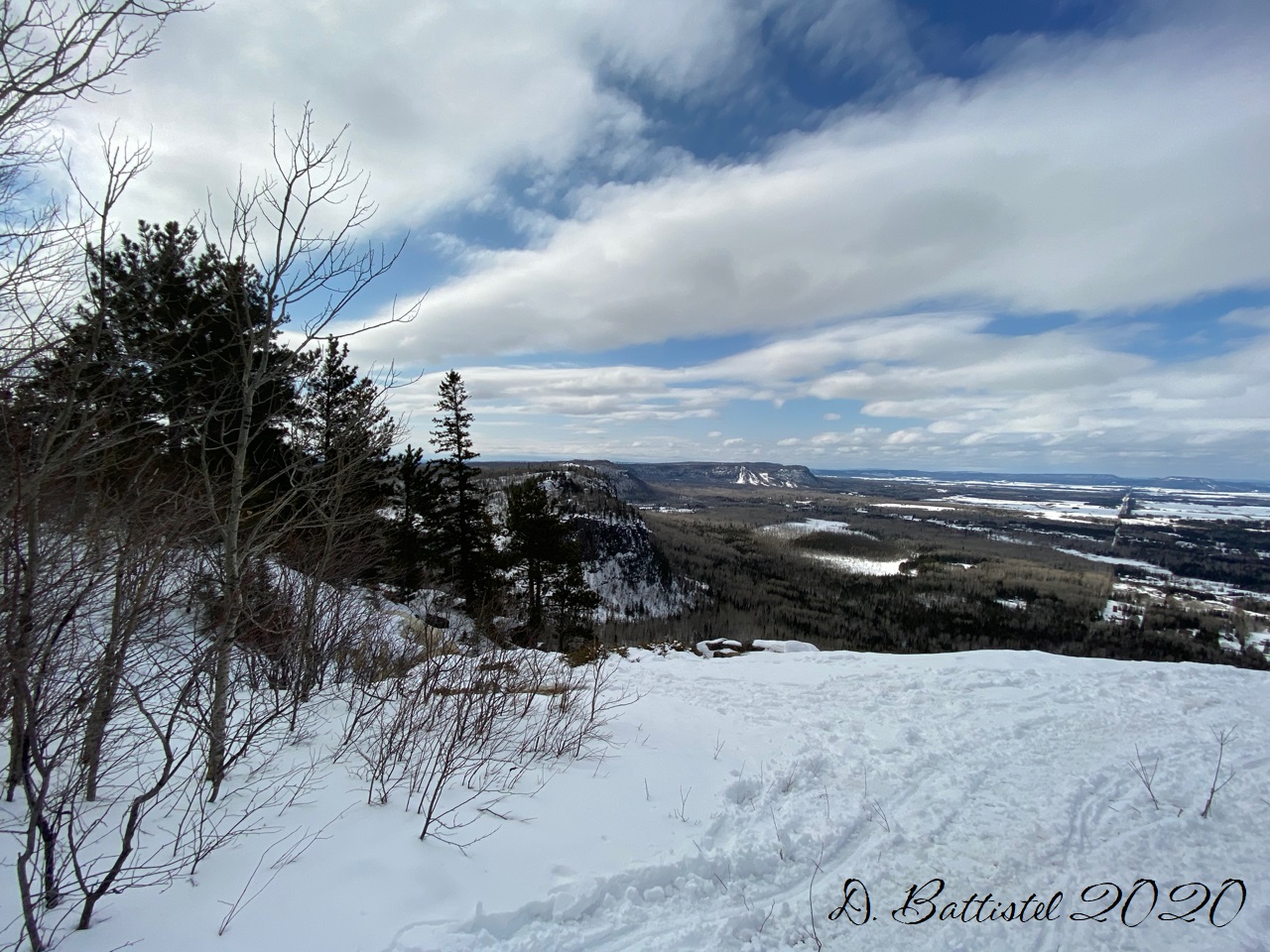
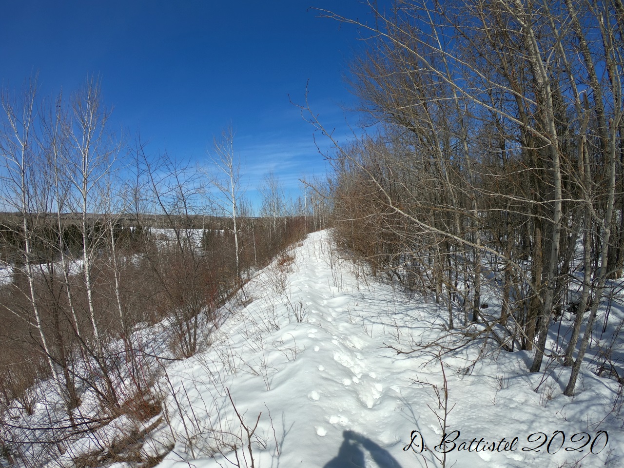
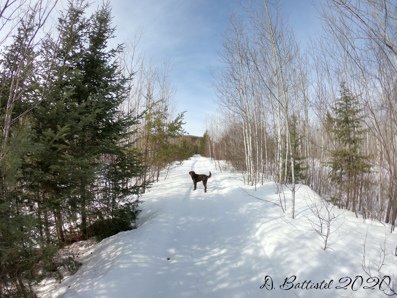
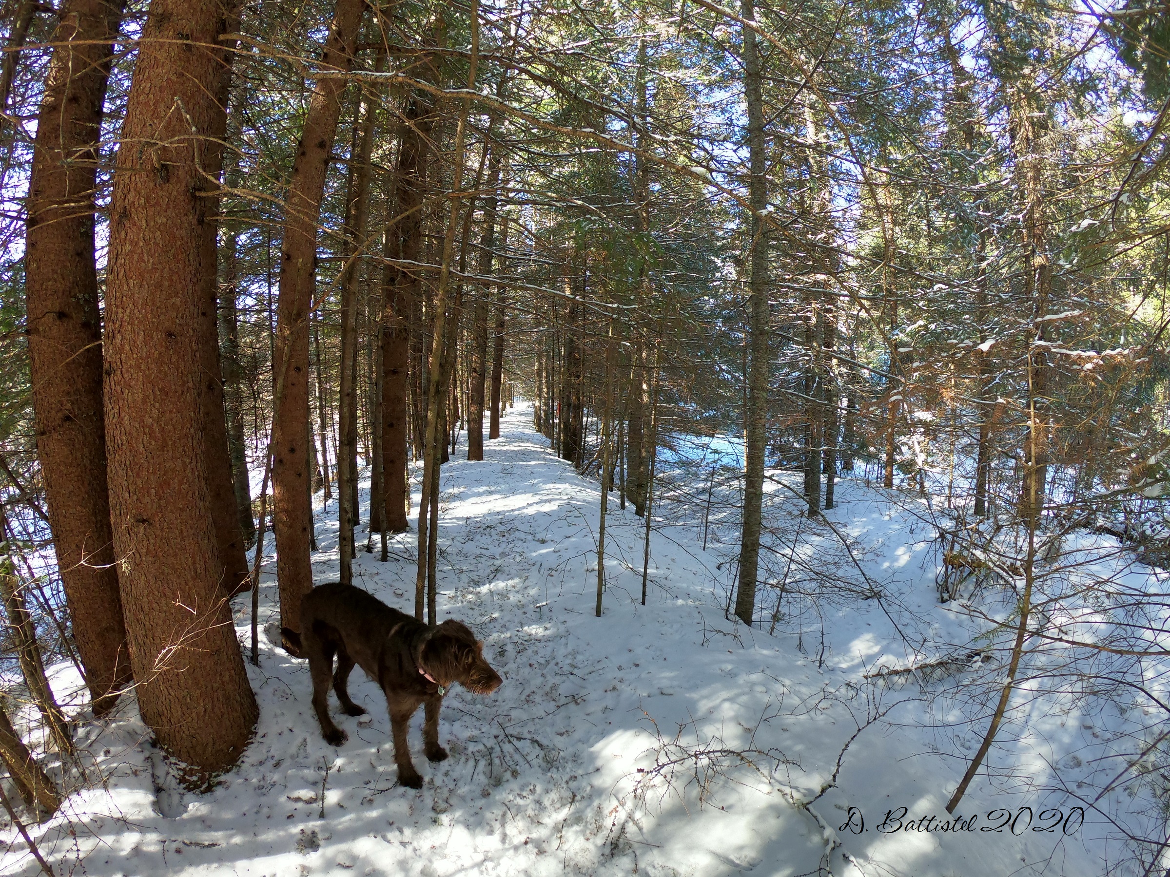
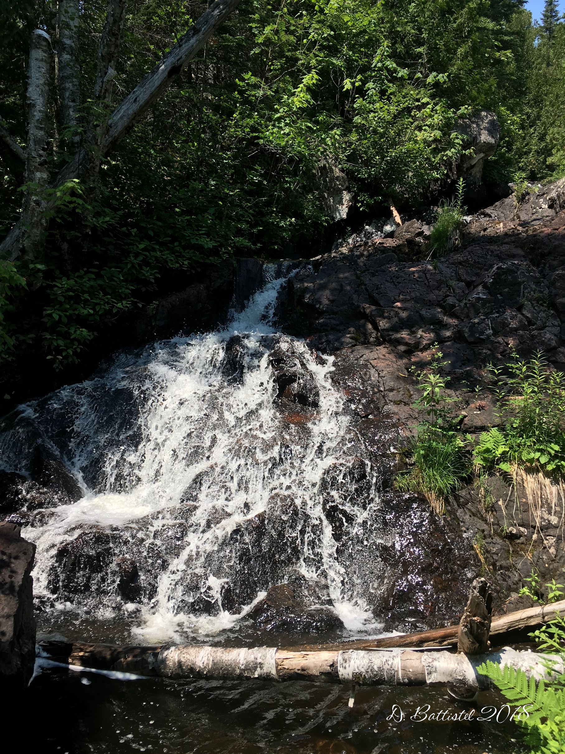
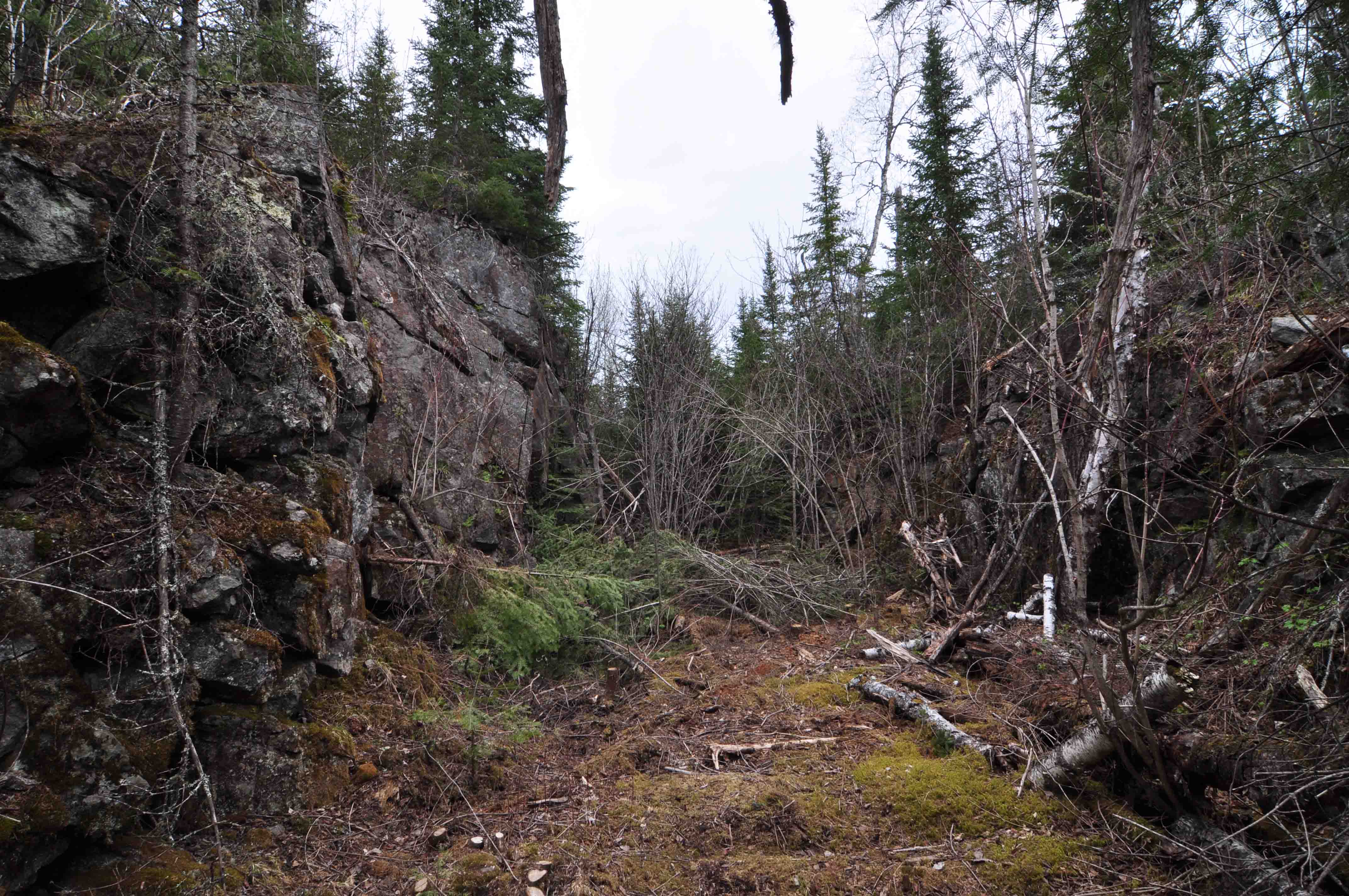
The plan for the day was to hike the 3.3 mile trail in reverse, starting along the southern arm as we followed the route of the railway toward the mine. Shortly after 10am we were plodding the rail bed as it climbed westward…it is amazing to see the geography of the area. After passing the double 150 foot trestles at the start of the trail, we began to experience some of the fantastic rock-work that was done. First is a 55m rock-cut, immediately followed by an 83m embankment. Then you enter a beautiful 90m long rock-cut, which is like an enchanted forest with its rocky walls and dark forested interior. From this passage, you then move to another 80m rock-cut which open to the north, which drops precariously about 50 feet to the valley floor.

Rock cut, Minnesota, October 2012.

Rock cut, Minnesota, October 2012.
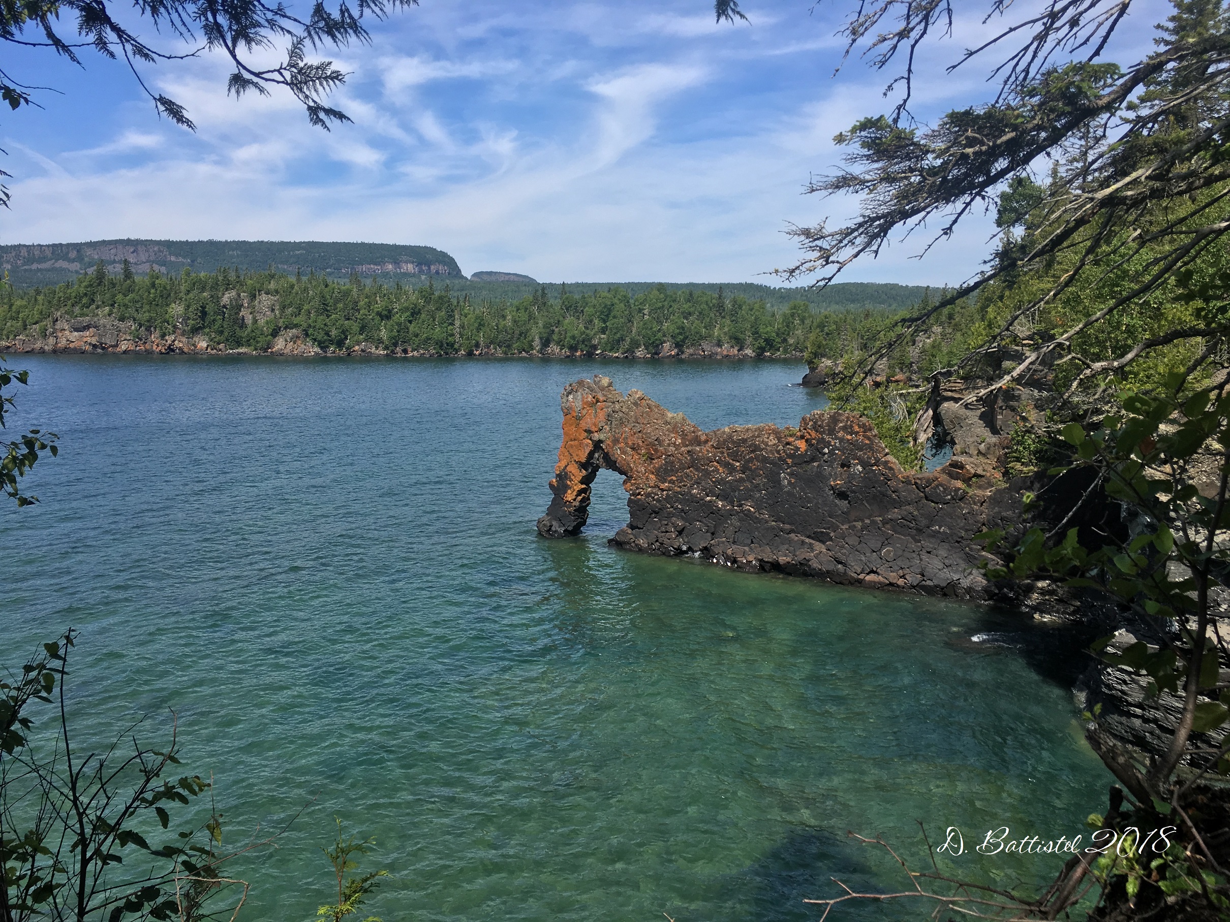
One of the most unique features of the railway in this area is the 120m (400 foot) trestle that spanned the southern opening of the aforementioned valley. It must have been quite the structure and the quite the effort to construct. The western side was literally blasted out of the side of a cliff, which towers nearly 50 feet above the grade. The valley sits some 100 feet below. The trail drops into the valley and has a very steep ascent up the cliff where a beautiful vista unfolds before you. The trail eventually rejoins the railway 300m beyond the trestle. On several occasions I have climbed the steep cliff and walked the grade as it skirts the blasted cliff to the trail junction.

Trestle crossing, Minnesota, October 2012.
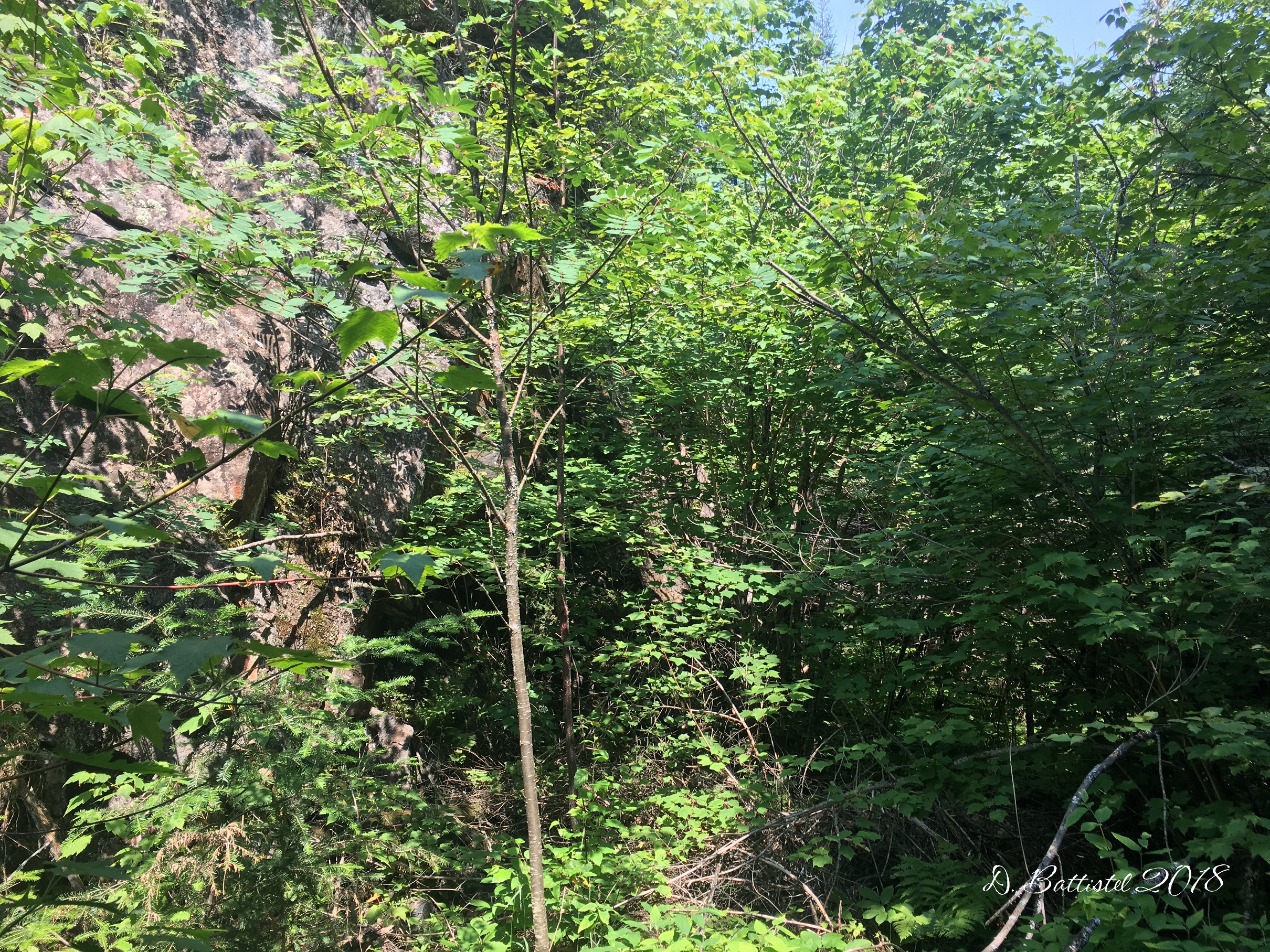
Another 180m takes the hiker through a small rock-cut and short embankment before the railway enters an 85m rock-cut. The trail sits of the east side of the cut, as the ground in the cut tends to be a bit wet. I have distinct memories of my first visit to the area in 1998, walking through this remote cut, soaking wet and filled with trees. Now it is nearly impassable, as it is filled with deadfall from the 1999 blowdown and 2007 fire.

Embankment, Minnesota, October 2012.
A short distance past the cut, the trail continues just to the north of the railway which skirts the north shore of an unnamed lake. It was here that we would begin the most interesting part of our hike, a detour to visit the legendary Paulson Mine. The area was originally explored in 1888 and the mining work began in 1892. The mine “opened” in 1893, but closed almost immediately after only shipping one car-load of iron in September of that year. Many attempts were made to re-open the mine, but all failed. Apparently, the iron is there, but obviously not in the quantity that would make mining it profitable.
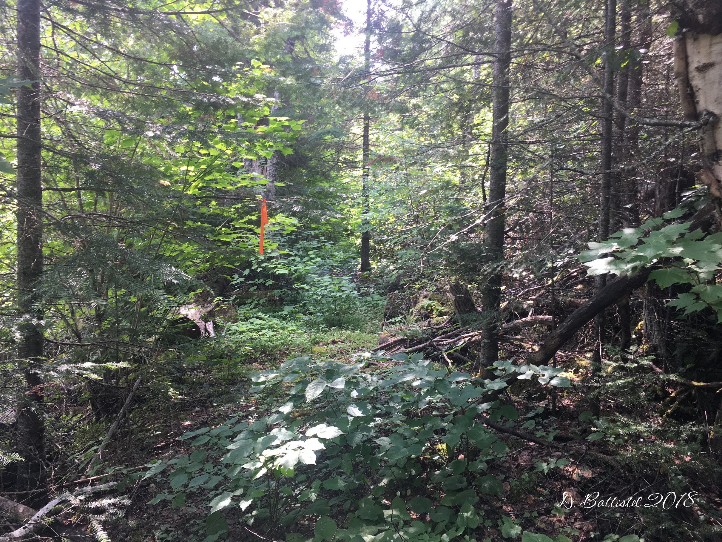
The mine site lies some 100m north of the trail, over a ridge littered with deadfall and burned trees. I must say that it was a bit easier to navigate with the leaves down than my August 2010 visit, but mind you I had exact GPS data to work with and it wasn’t 35C either. The mine itself is a bit dangerous, since the old barbed wire and snow fencing around the opening has long since disappeared. However for its age, the shaft looks to be in good shape, still lined with timbers after 120 years.

Paulson Mine, Minnesota, October 2012.
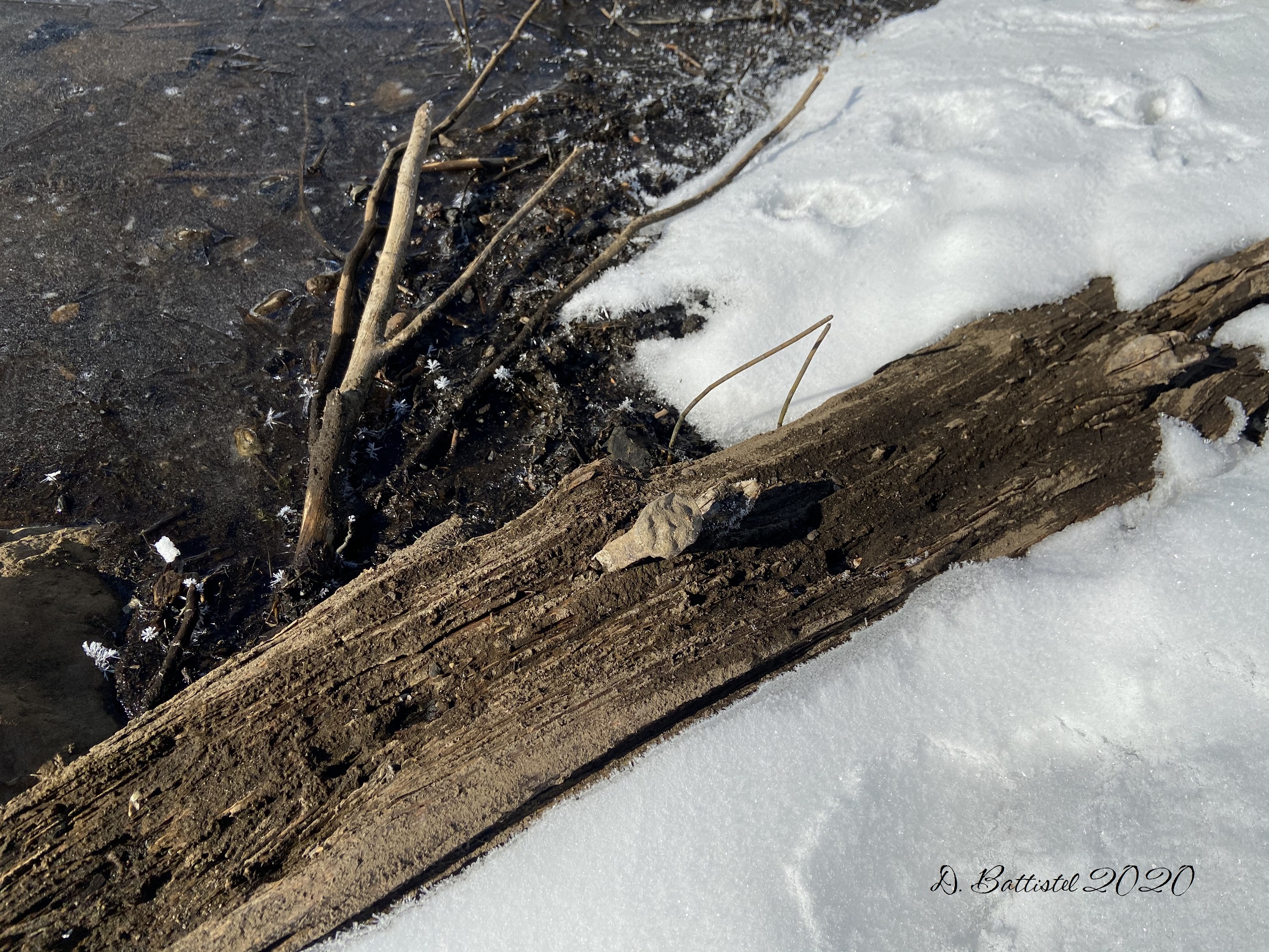
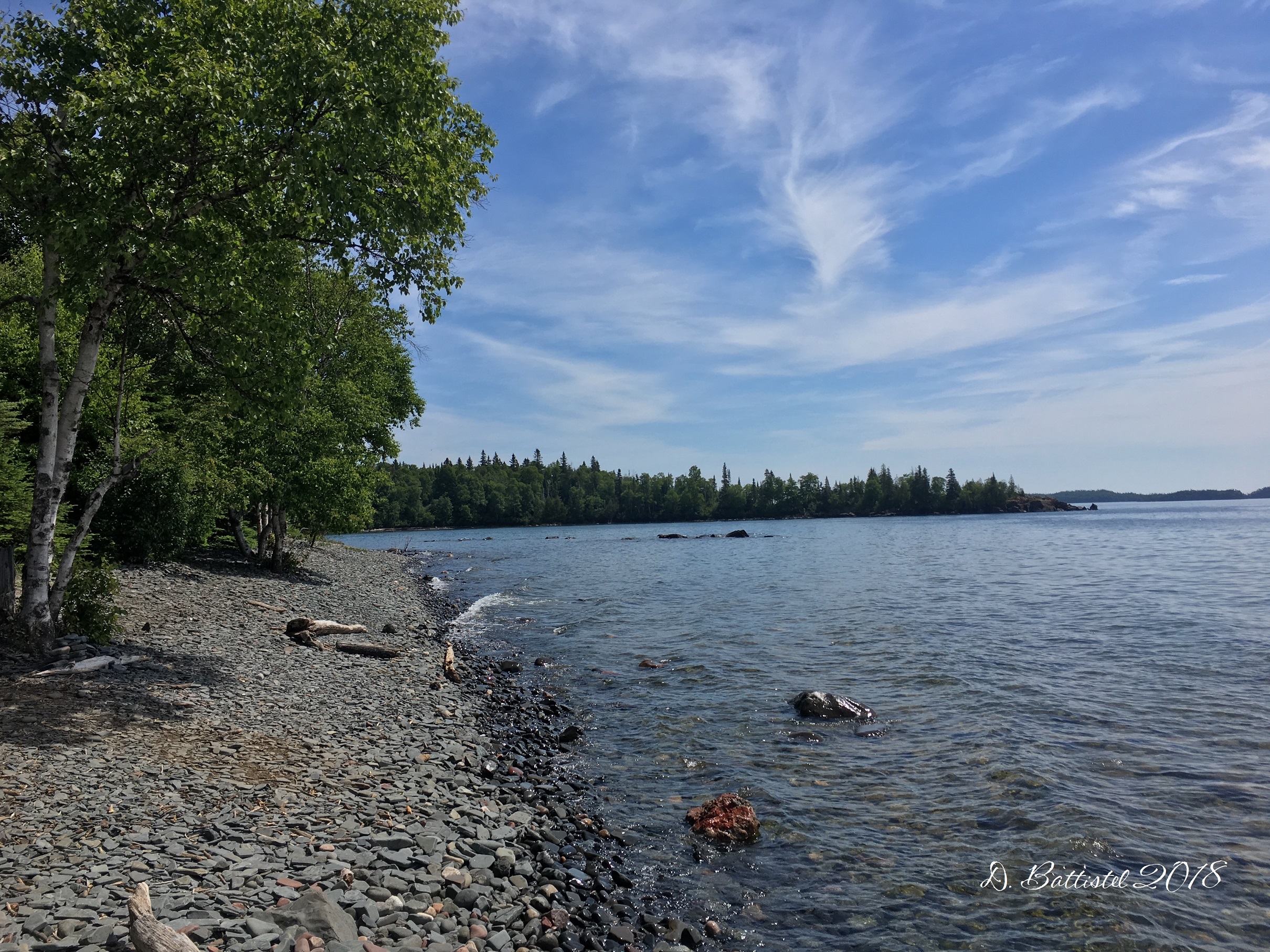
North of the mine on the shore of an unnamed lake are piles of tailings taken from the shaft. Gleaming with mineralization and red with oxidation, they are a testament to the iron in the rock. According to news reports, the mine owners had 5,000 tons of ore ready to ship; I’m no expert, but it sure doesn’t look like there’s that much lying around. It was here that the railway ended, but trying to find its location has been a chore. I walked about 180m along the shore the wet area, but I could not be sure if it was the grade or just rock fall from the cliff.

Filming, Minnesota, October 2012.
Southeast of the mine shaft is a test pit that was dug horizontally into the side of a ridge. There are quite a number of these test pits in the area, dug into the rock to test the quality of the iron content. In addition there are quite a number metal items scattered the area, from metal hoops to iron pipe fittings. The pipe fittings are quite interesting, attesting to the fact there must have been a steam-powered device employed at the mine, probably a winch.

Test pit, Minnesota, 2012.
Back on the trail, we hiked another 550m along the ridge to our next stop, another mine shaft near the junction of the Centennial and Kekekabic Trails. Along the way we passed the site of Gunflint City, which was situated on the western shore of the lake south of the railway. Created as the camp for the mining operations, it was hoped it would blossom into a metropolis due to the iron business. There were apparently several buildings at Gunflint City, possibly even the “hotel” of famous Madame Mag Matthews.
At the junction, I wanted to spend some time looking around for traces of the railway at the second switchback site. This was the goal of my previous visit in June, but I was thwarted by GPS problems and too much leaf cover. With the leaves down, I hoped to find the answers I was looking for. I headed west along the Kekekabic Trail, definitely confirming that it was the grade stretching 325m past the junction. Heading back, I jumped the creek and made my way to a rock cut 25m south of the railway. Looking west, I could see the northern side of the switchback, but I am still stumped as to how the railway got across…it must have been a trestle.

Railway grade, Minnesota, October 2012.

Trestle?, Minnesota, October 2012.
The grade running toward the mine ends abruptly in a swampy area that is delineated by a beaver dam. The dam has raised the level of the water, submerging the grade by several feet. Maybe some day that swamp can be drained to do some investigation work. As the sky grew darker and the temperature dropped, we quickly walked the 2km east to the northern trailhead. Our journey took us past the 5 test pits along that portion of the trail, again littered with red, rusting rocks. From the trailhead, it was another 800m to our starting point. In all, my GPS indicated that I had walked 7600m, which was not bad for a day’s work.
After a short stop to visit my friend John Schloot at the Cross River Lodge, Ethan and I headed back to Grand Marais to grab some dinner. The bison burger at My Sister’s place was great, but the long day was already getting too long. We arrived back home at 7:30, concluding an exhausting but exciting adventure. I can’t wait until I have a chance to go back!
Anyway, I need to go to bed, so enough for today. I have another exciting event coming up this weekend, so I’ll have a bunch more to say next week. Until then…