Really? You must be a lucky guy Dave! I know…I was pretty excited about it myself; I haven’t done it this often in a long time. It was worth all the money, time, exertion and effort too. I know what you’re thinking…is he really talking about this on his blog? Isn’t that a tad inappropriate? Money? Isn’t this a family blog? Well, of course it is…what is it that you think I’m talking about? Oh, I know, you’re confused. Well, that never happens here right?
So we’re here at the end of October and I am totally out of gas. It has been a crazy fall! Between everything that has gone on in my family life and work, I am very surprised I am still alive. No really…I’m not joking. It is a huge struggle to keep my head above water and I feel like I am not on the ball when it comes to teaching. I am behind in my marking and my planning isn’t as sharp as it usually is; I’m not focussed. I really need that sabbatical.
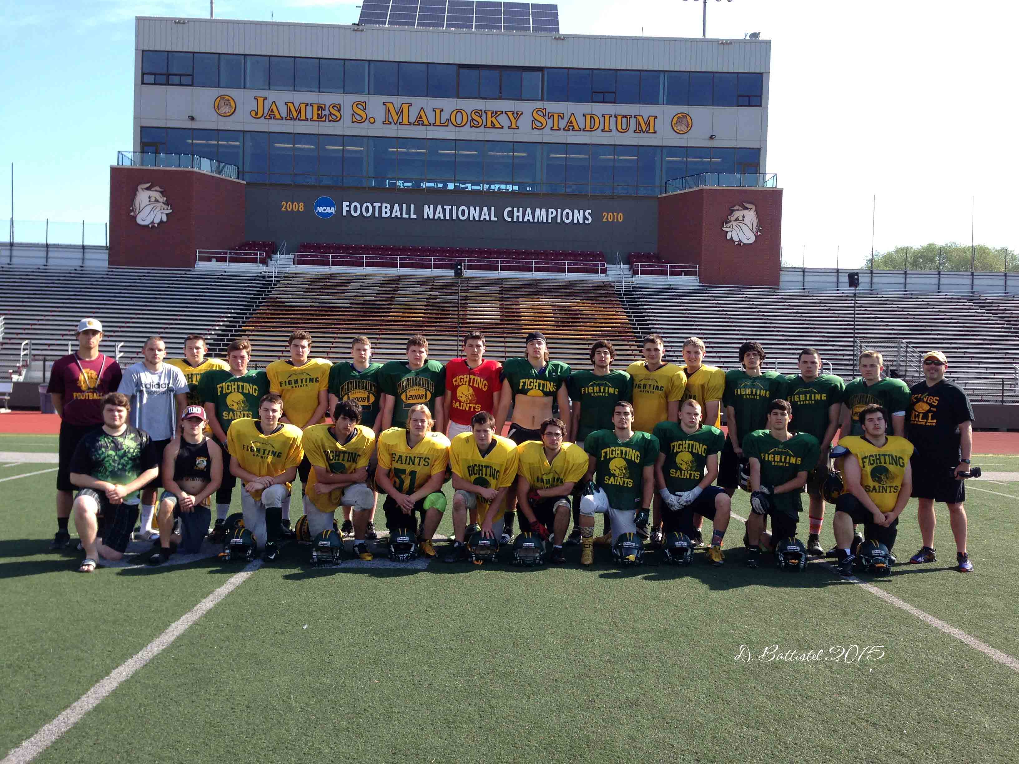
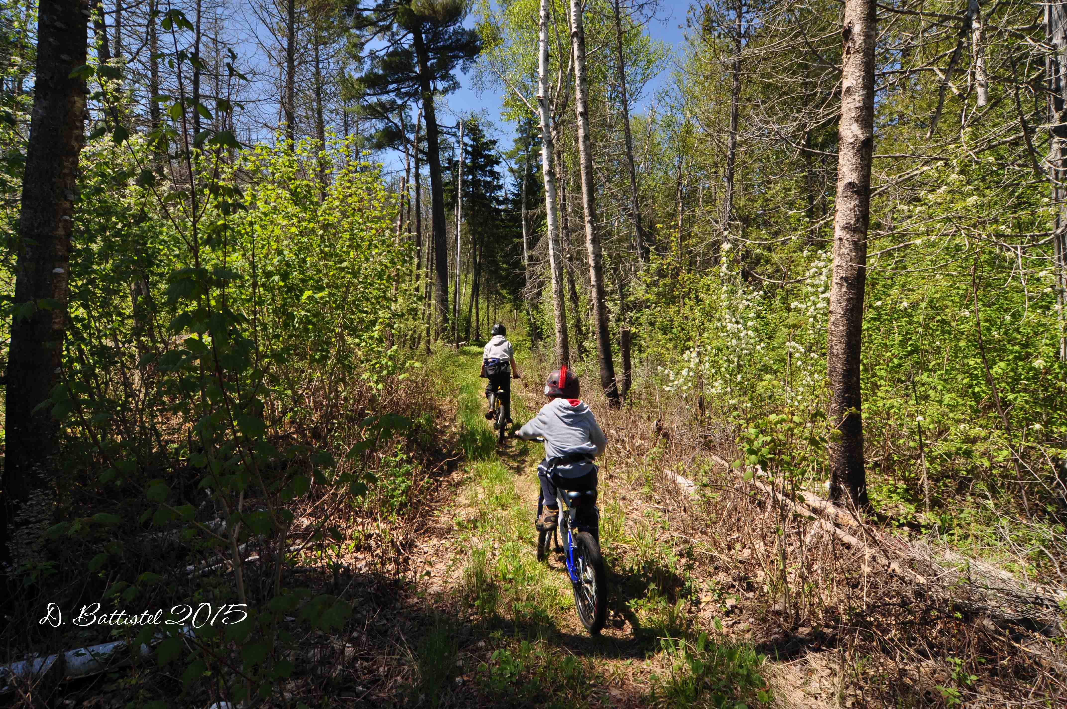
Football is winding down for another year. Noah and his Alouette teammates played in the TBMFA Atom championship on last Saturday and came away 25-6 winners. He played well in the victory, recording several tackles at his outside linebacker position. This week was the start of playoffs in high school junior football, and after finishing third in the standings we took on Superior in the quarterfinals on Thursday. It was a tough 20-6 win and we now move on to play Hammarskjold next week. I am very proud of this group as they have come along way since the beginning of the year and they have accomplished a lot no matter what happens from here.
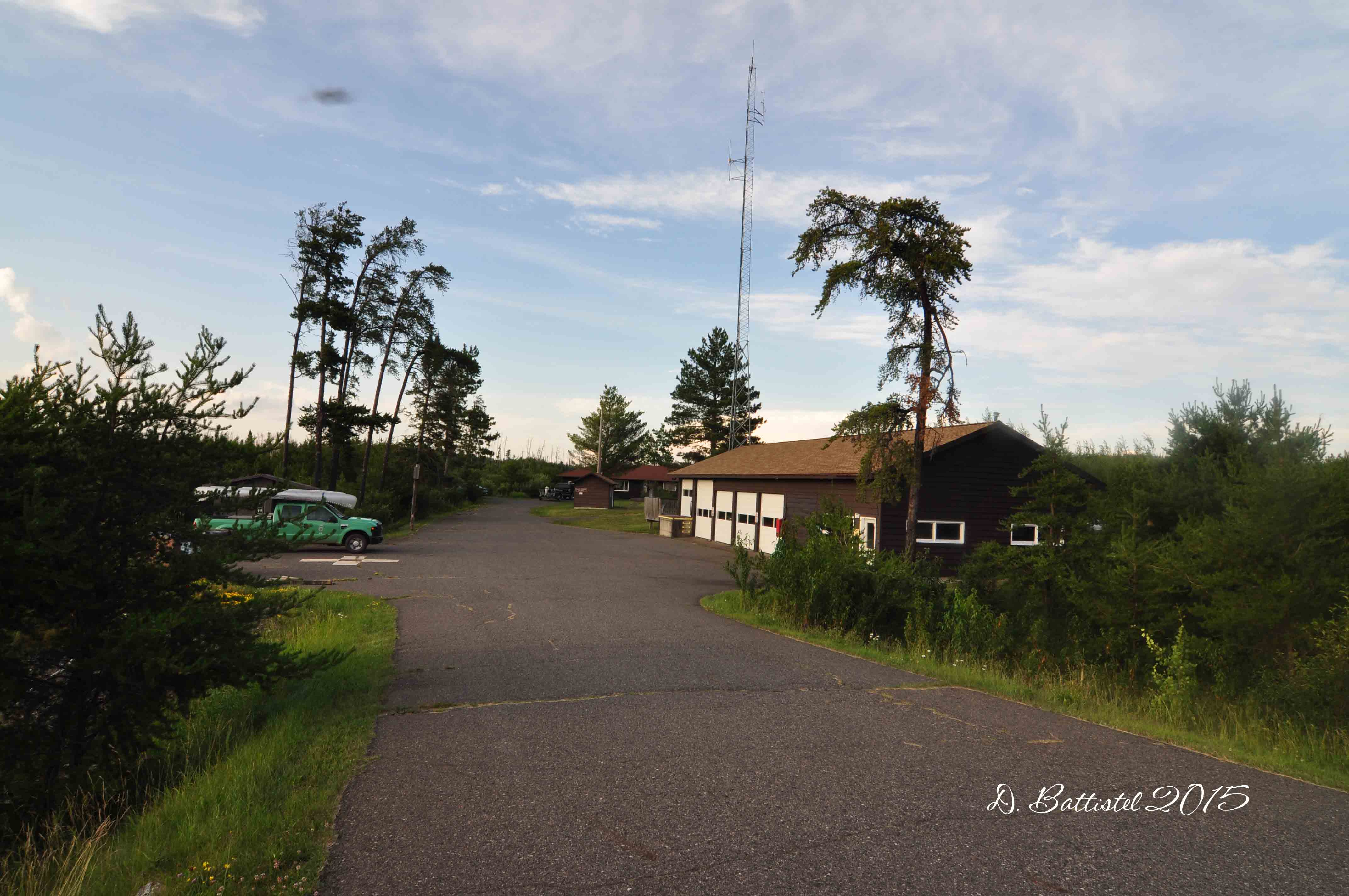
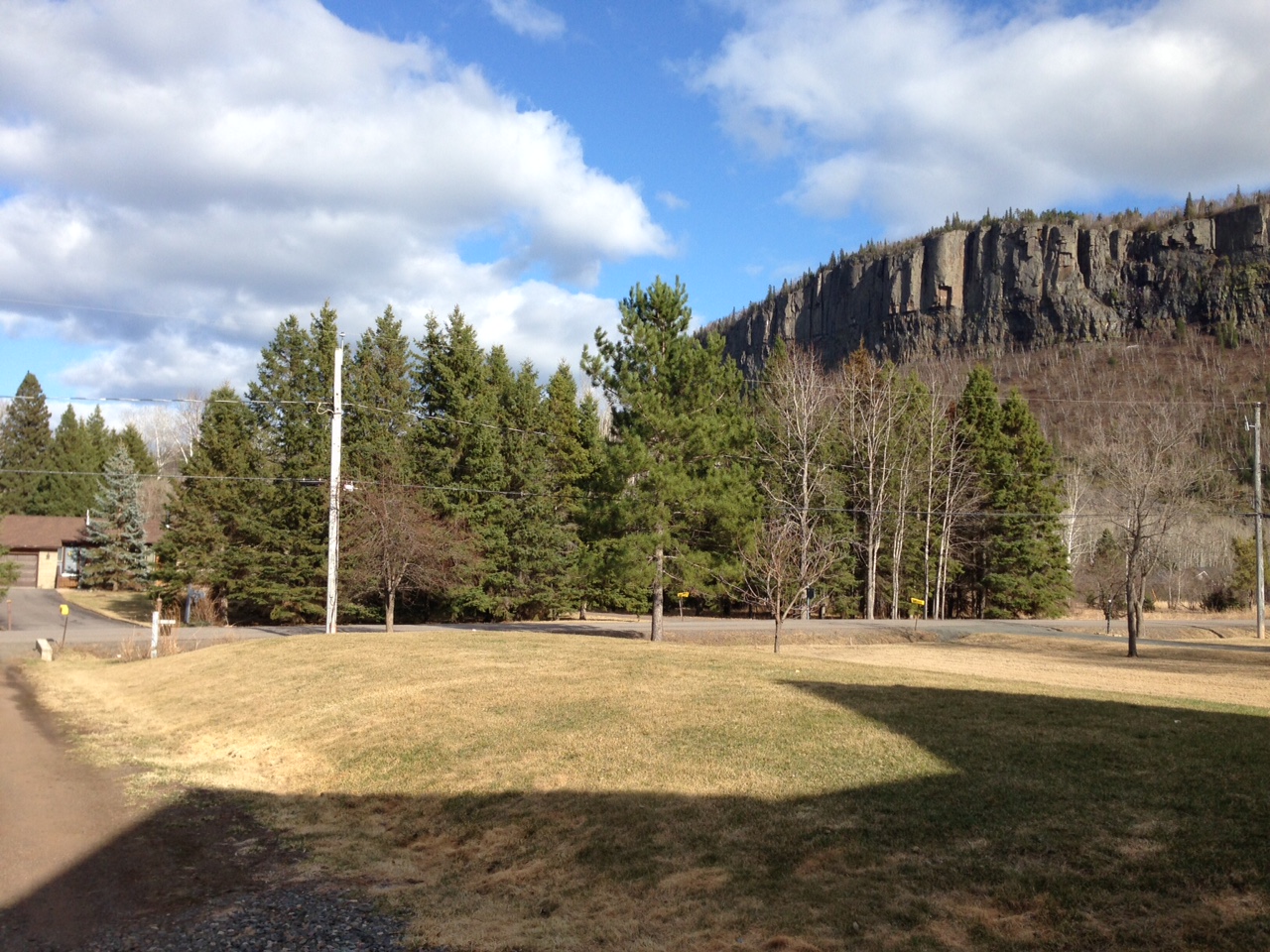
Speaking of busy, this month has been very active for me on the railway front. On the 4th the historical society held its annual History Day at the Silver Mountain Station. This year’s edition had a very special guest, Harold Alanen, who was launching his new book, “They Came From All Around.” This was of great interest to me, since I’ve worked with Harold at Gunflint Lake in the past and his book covers a lot of history associated with the railway. I look forward to finish reading his book once things calm down.
Since I already brought it up, let’s talk about Gunflint. The weekend after History Day was Thanksgiving here in Canada and as I’ve done for the past few years, I spent it in Minnesota with the boys. It is some great father-son time, but also an opportunity to get field work done with most of the leaves down and the ground fairly dry.
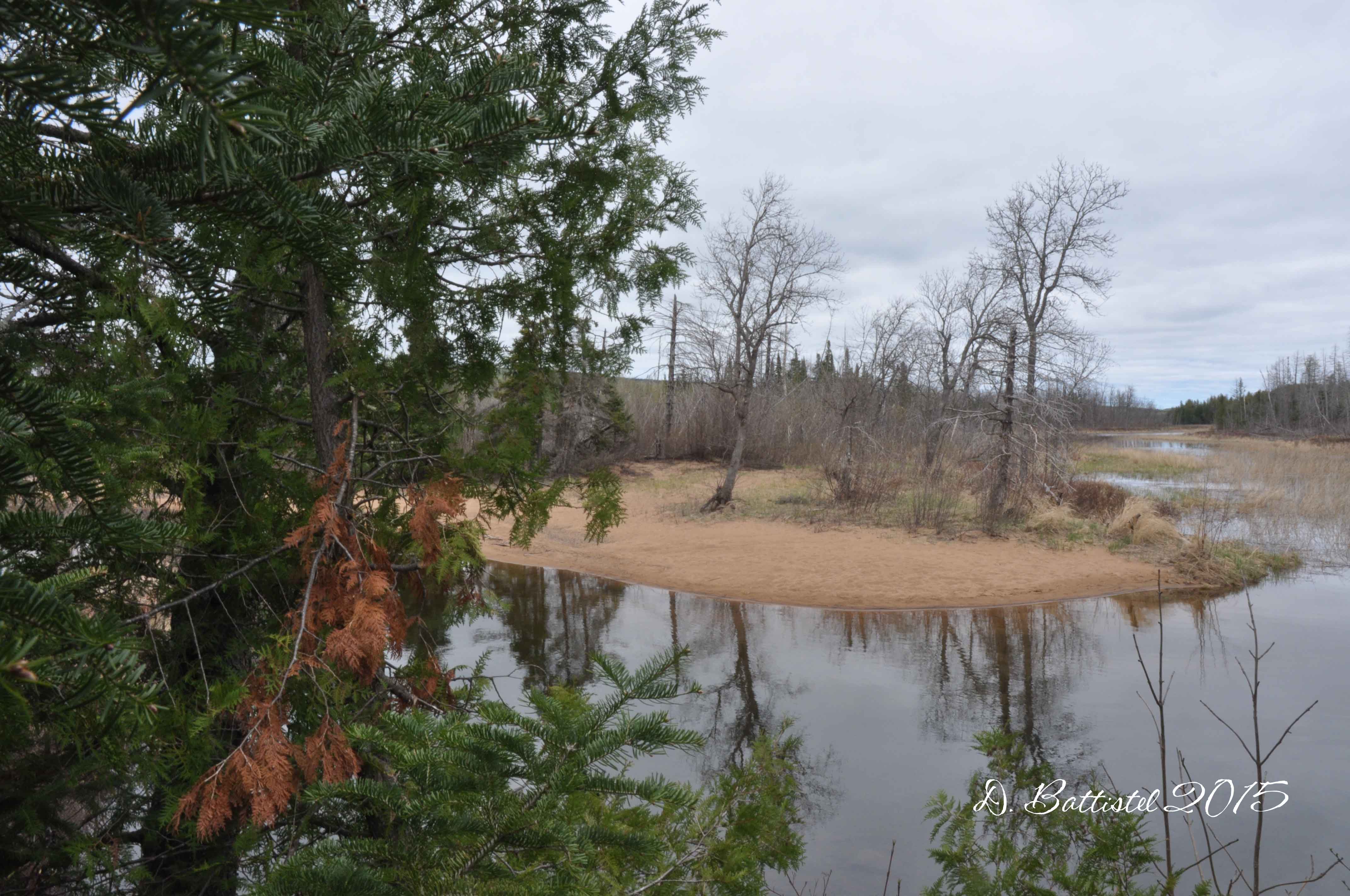
Our adventure started bright and early on Friday morning as we packed up and made our way to the Cross River Lodge. After a short stop in Grand Marais for provisions, we arrived at the lodge by 9:30 or so. It was nice to catch up with John and Rose…it’s become like a second home for me. Shortly after noon we were heading across a very rough lake for the 11km ride to the site of Camp 4.
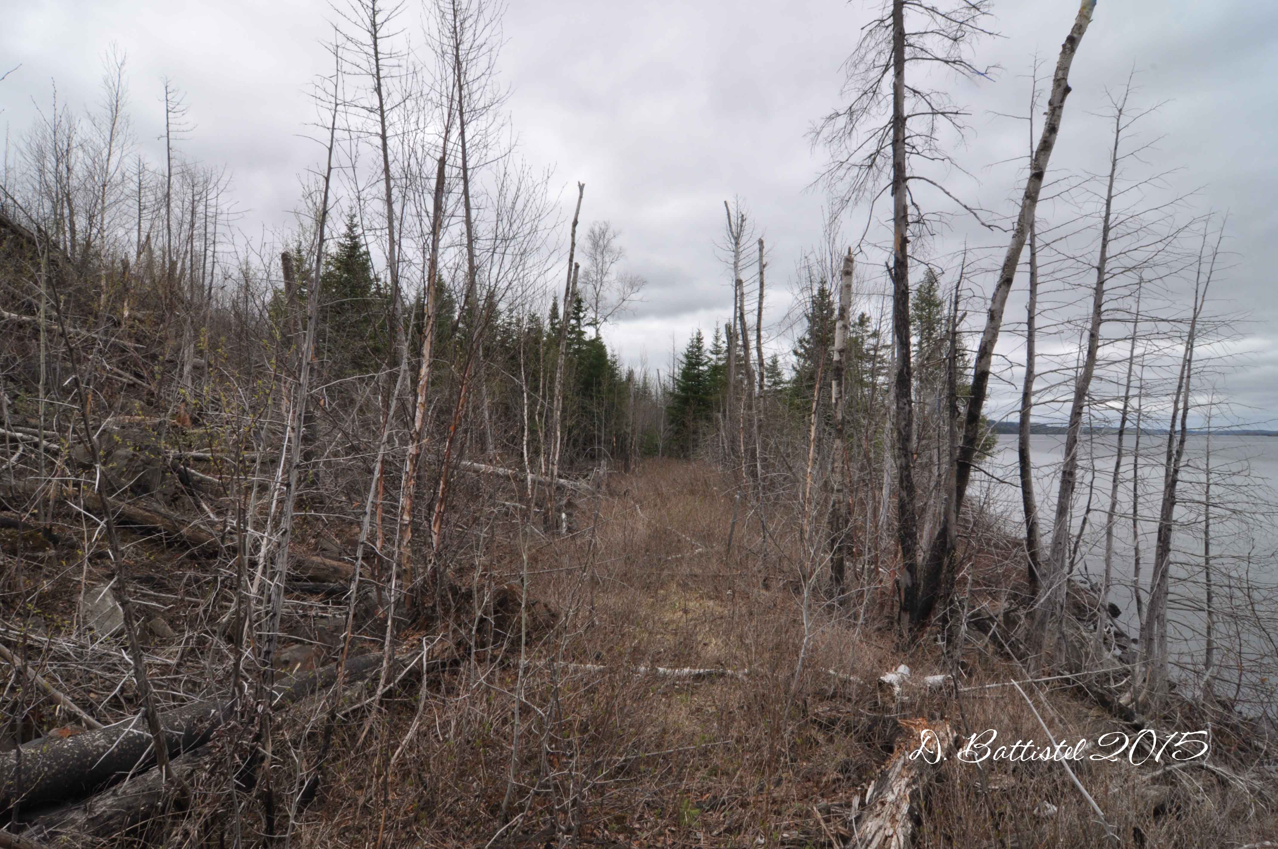
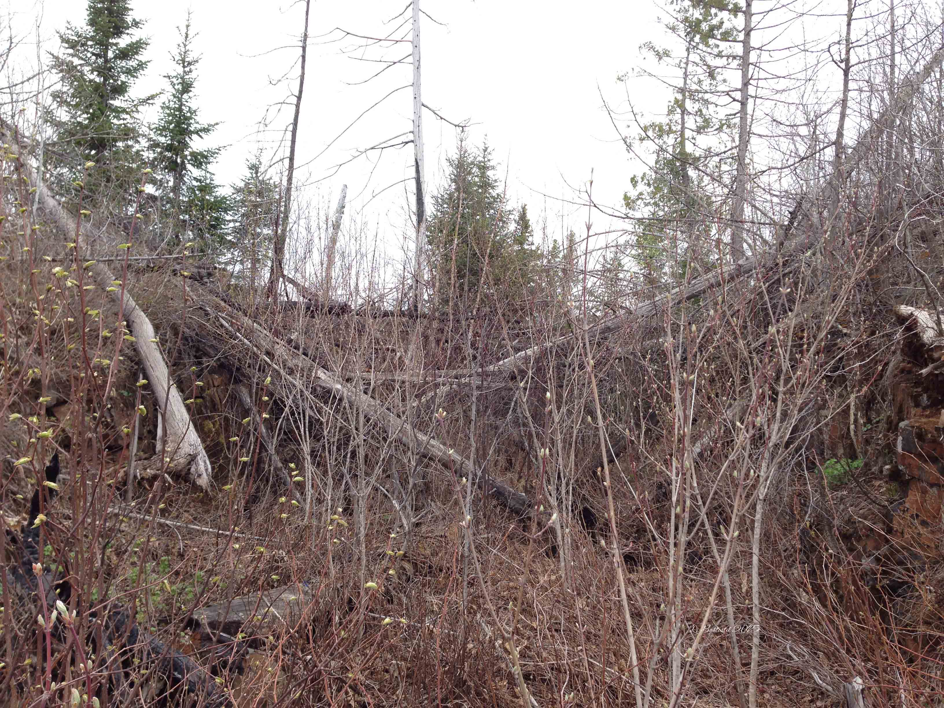
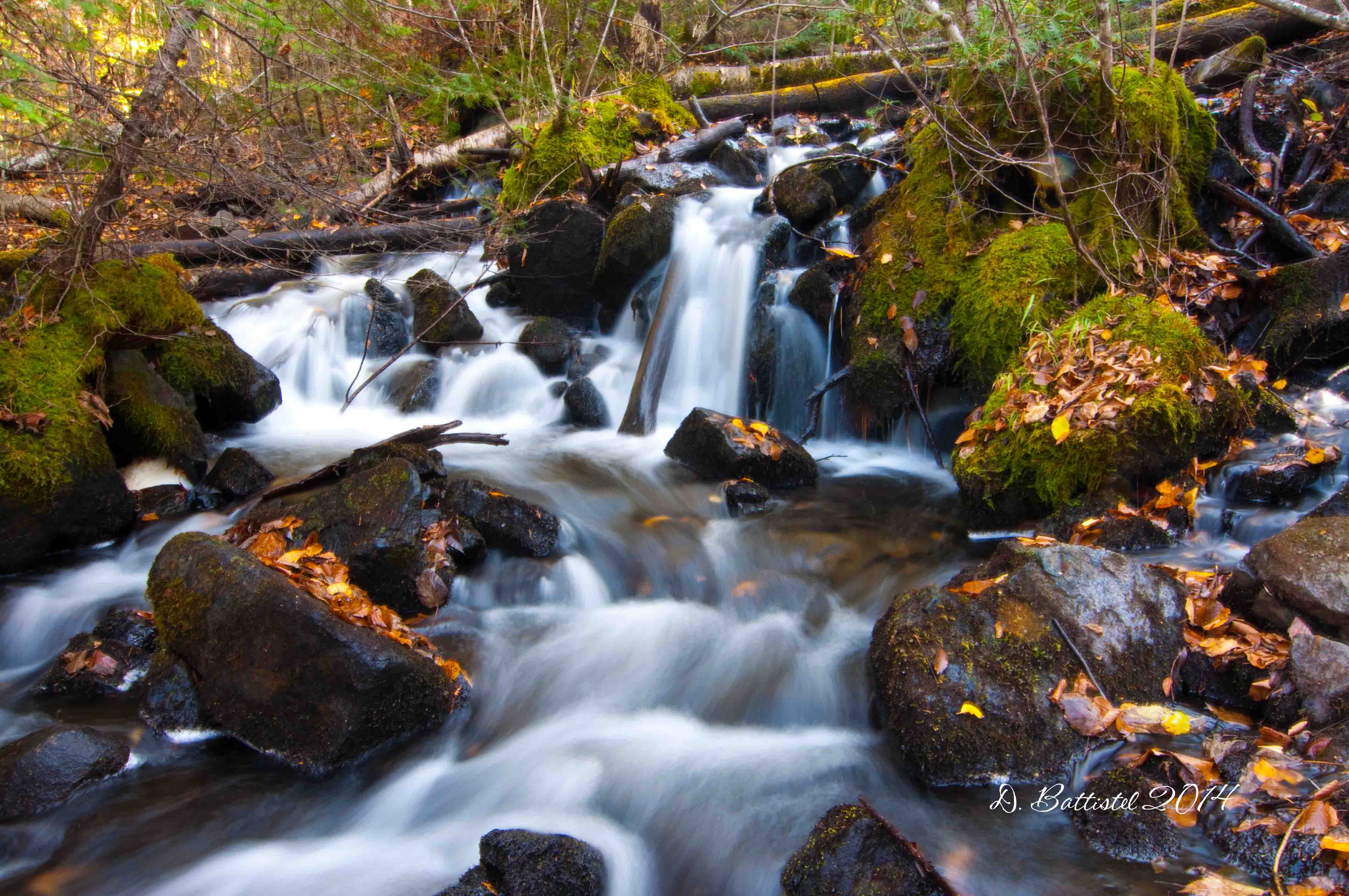
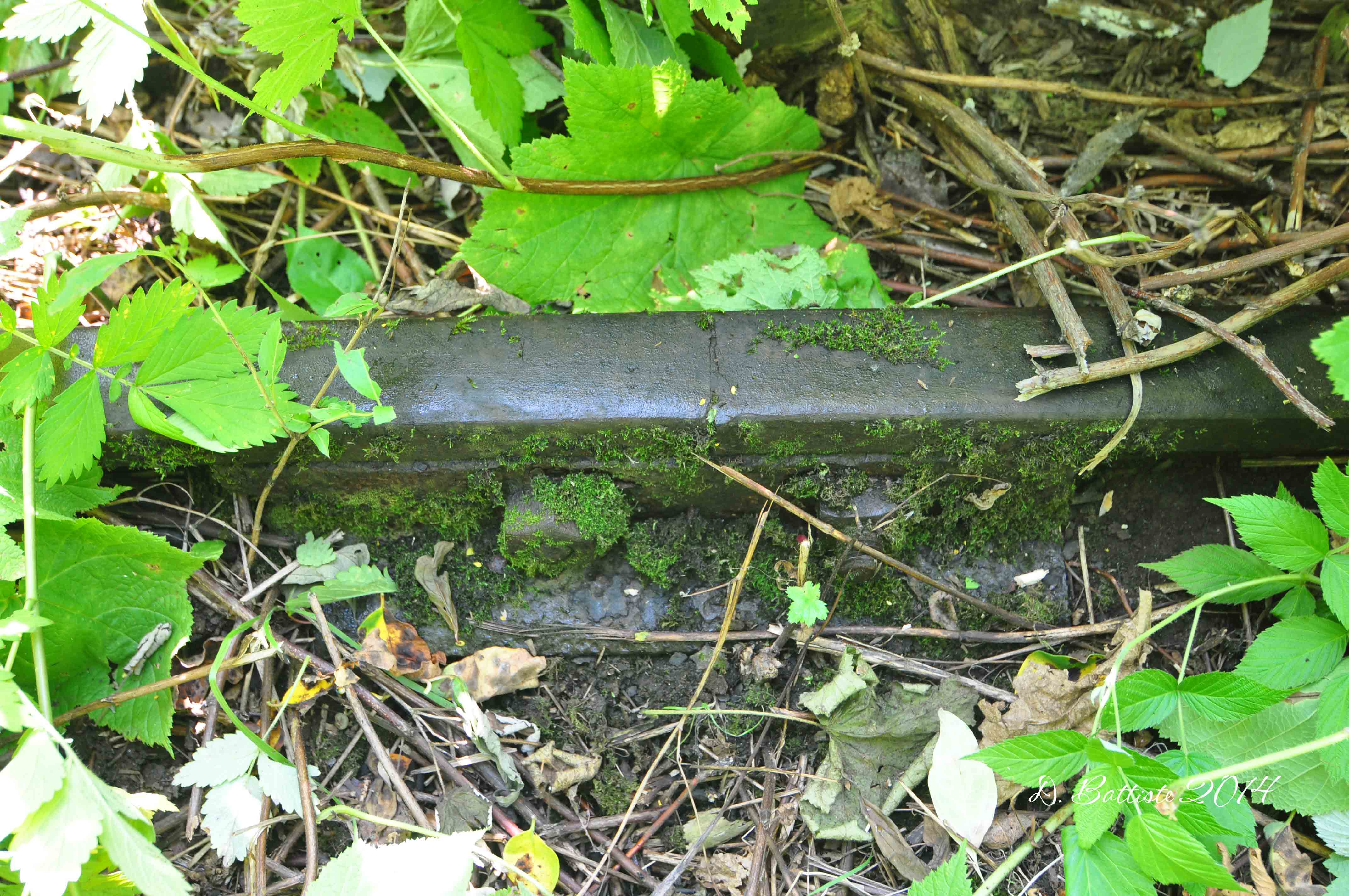
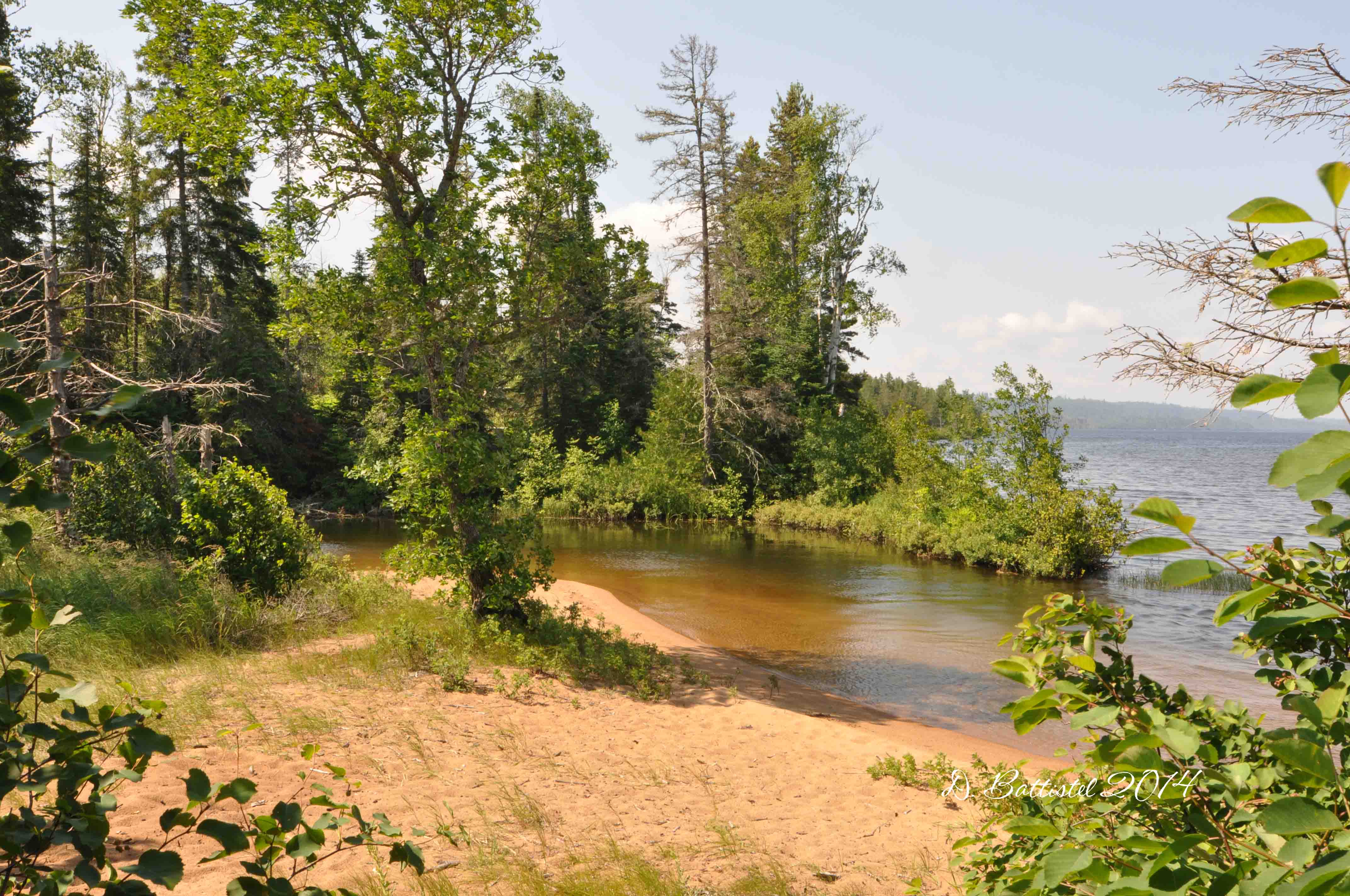
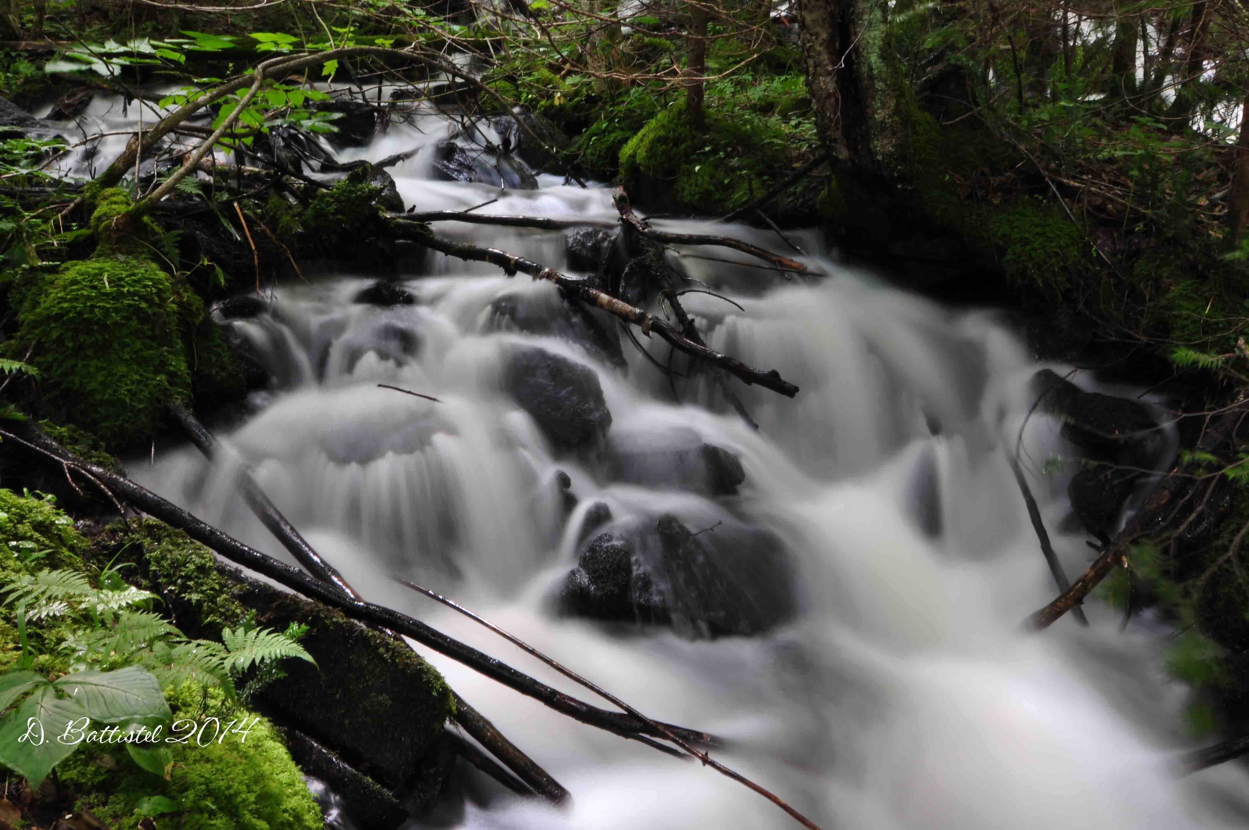
My objective for the day was pretty minimal, with just some minor explorations of the area. I did find a few interesting things, but no major breakthroughs for the time being. On the way back we took a short detour to Gunflint Narrows since the water on the lake was very low (not extreme, but one of the lowest I’ve seen). The boys climbed around on the rocks while I photographed the remains of the railway trestle.

Gunflint Narrows, October 2015.
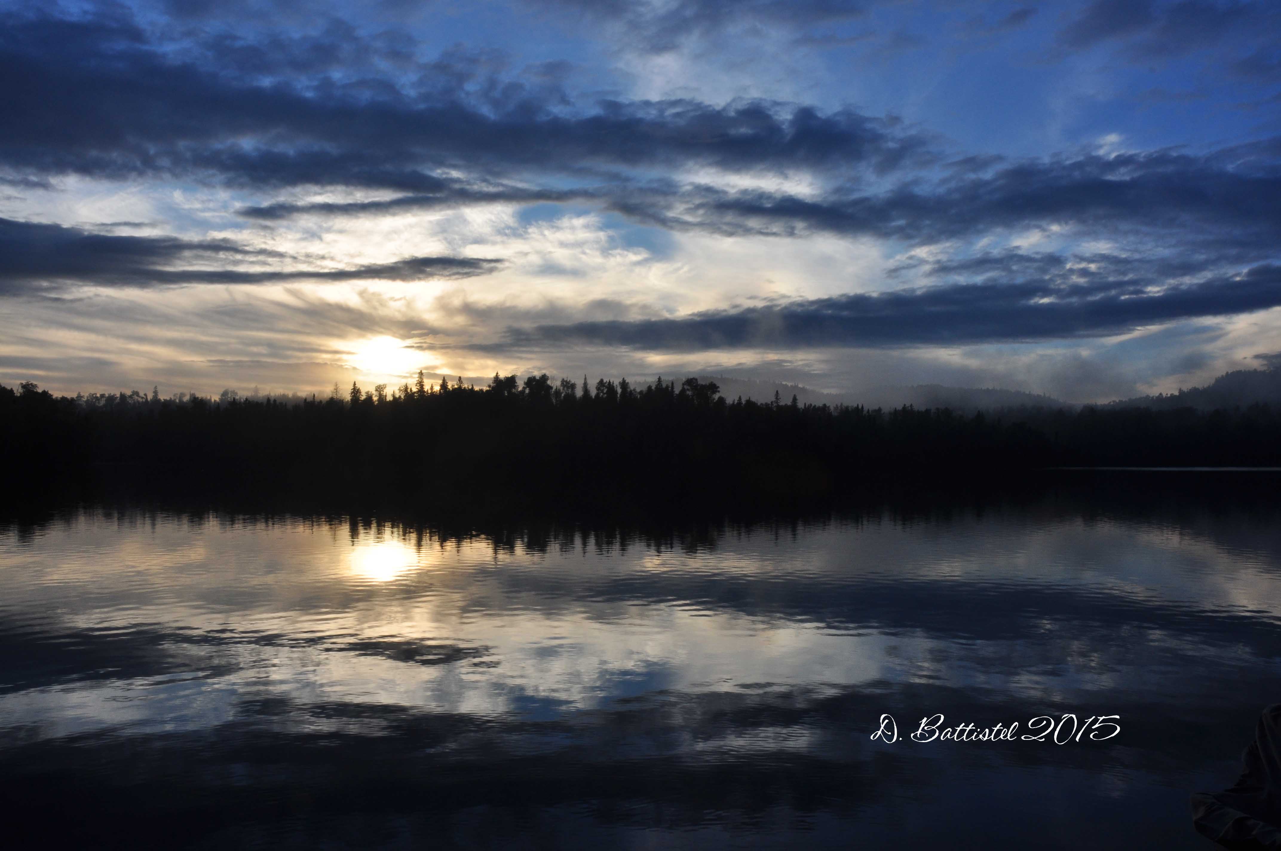
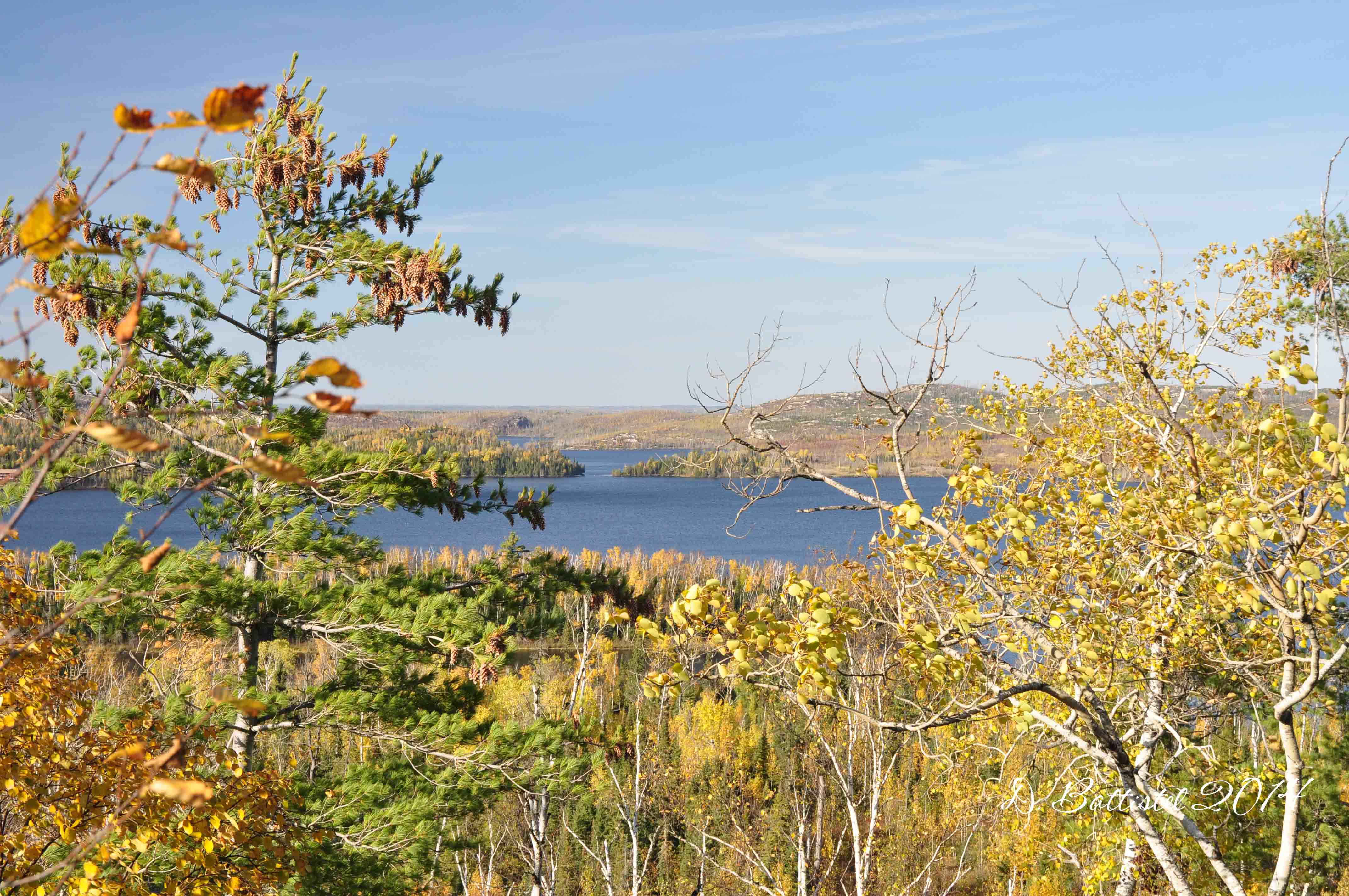
One of the highlights of our trip was the spectacular evenings we experienced. The winds were very calm, the lake like glass and the sunsets were amazing. After the difficult times we’ve had over the past little while, I felt like it was some great therapy for the boys and myself. I really hope it repeats itself when we are there next year!
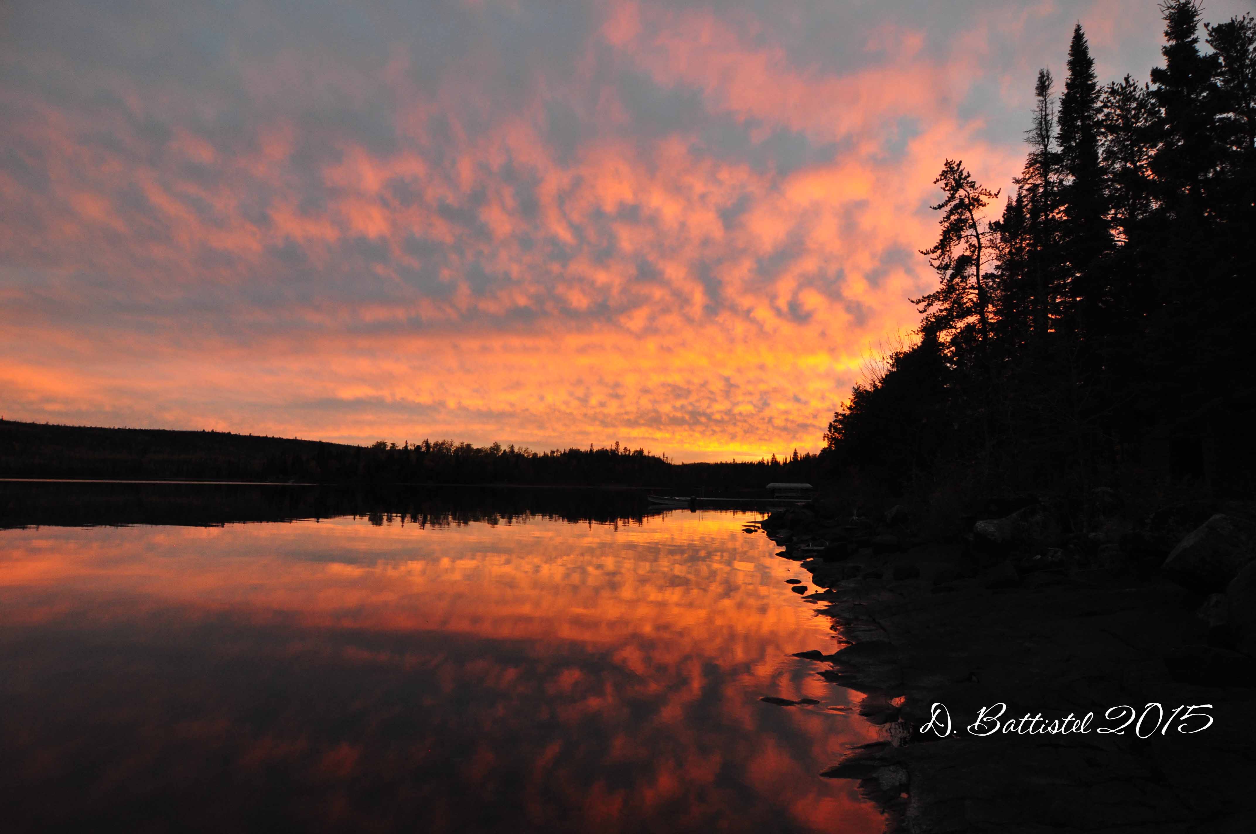
Sunset, Gunflint Lake, October 2015.

Sunset, Gunflint Lake, October 2015.

Sunset, Gunflint Lake, October 2015.

Sunset, Gunflint Lake, October 2015.
Saturday was expected to be the big day. My goal was to travel across the lake again, this time to the site of Bridal Falls, and explore the Gunflint & Lake Superior Railroad south toward Crab Lake. I had done this last year, but this time I had a better plan and hoped for better results. Armed with my metal detector (which I had bought specifically for this purpose), I hoped I would find some physical traces of the line and determine its exact route to Crab Lake.
After a much nicer ride on the lake in the cool fall air, we made our way up past Bridal Falls and on to the railroad right of way. My first big surprise was the state of the grade; last year it had been completely flooded by a beaver dam on the Crab River right at the top of the ridge. To my surprise the water was gone! I didn’t bother checking to see if it was a result of the dam being broken, but I really didn’t care…it made my life much easier!
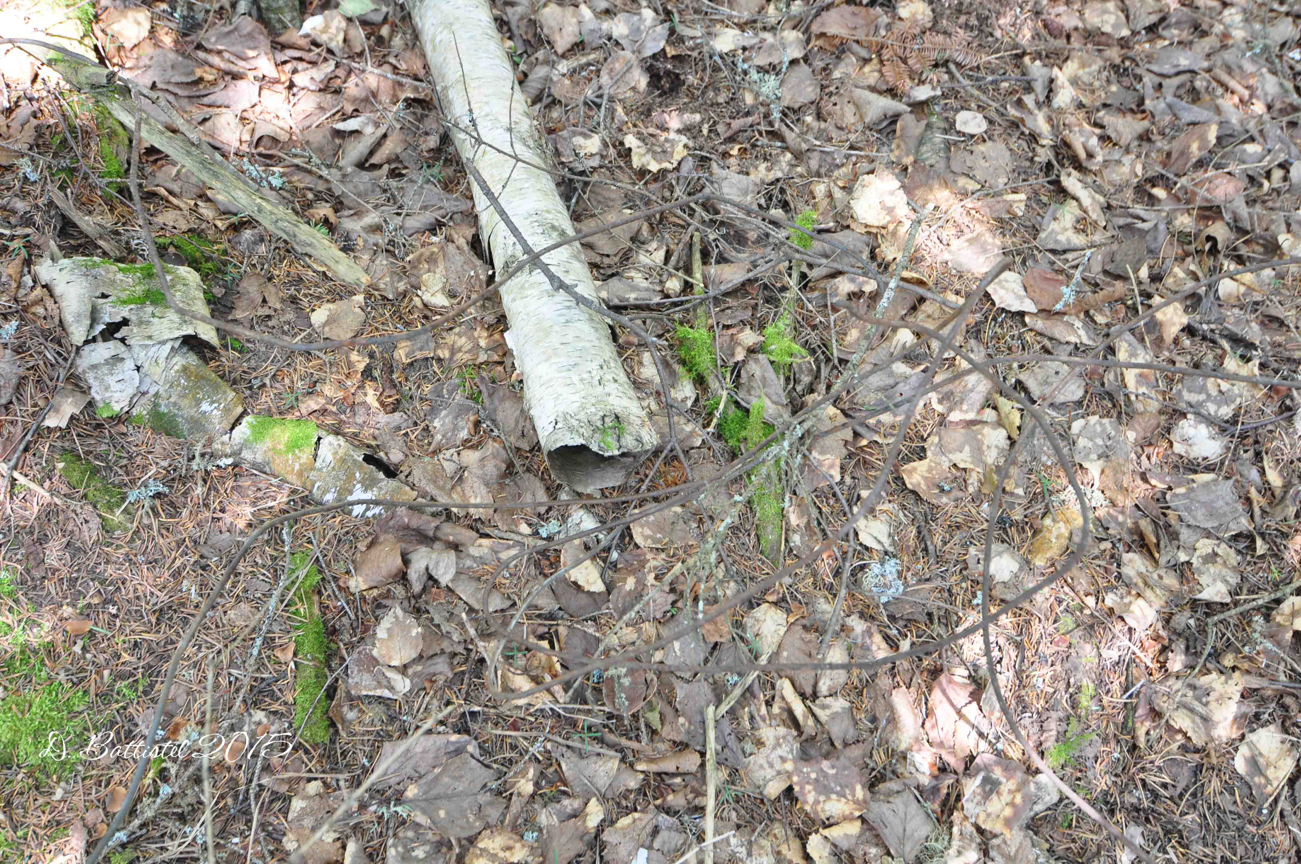
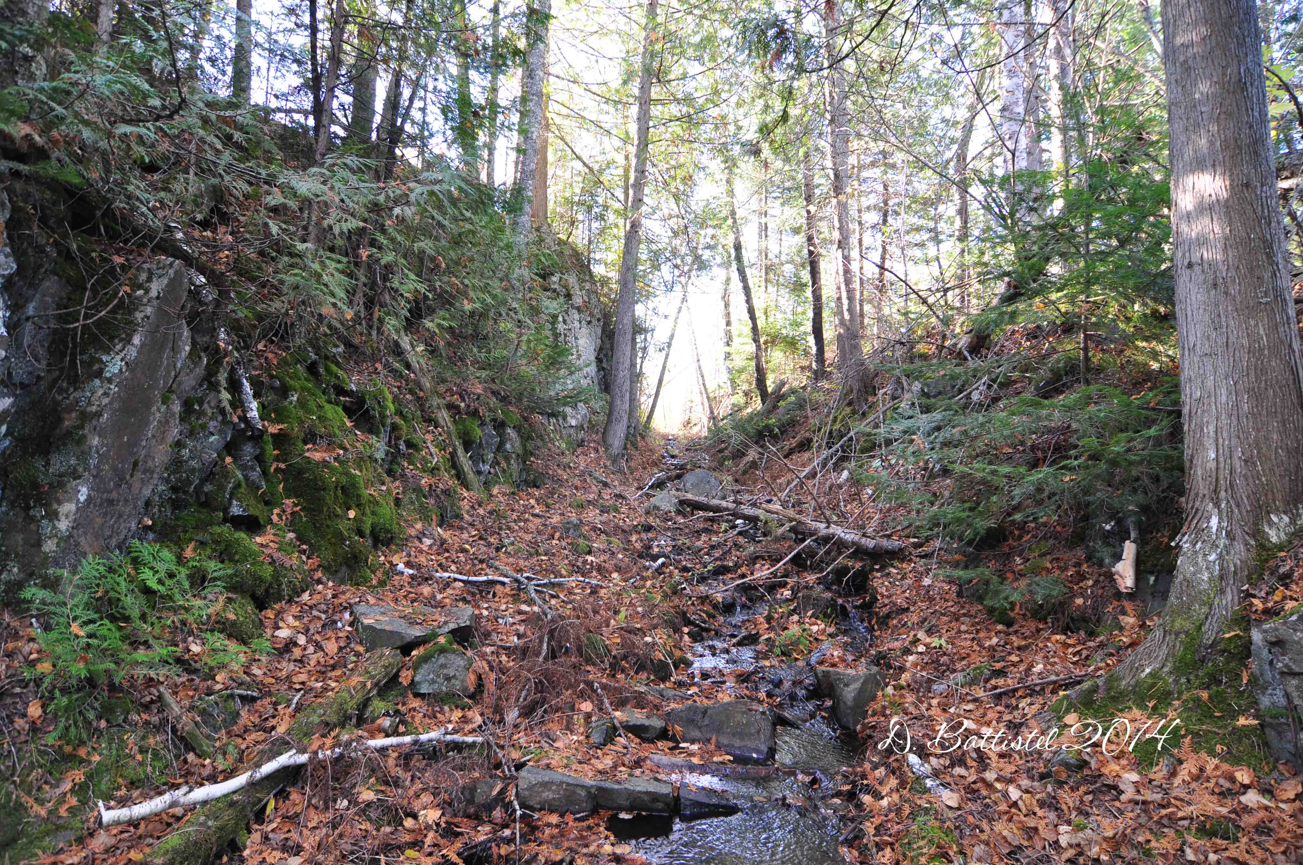
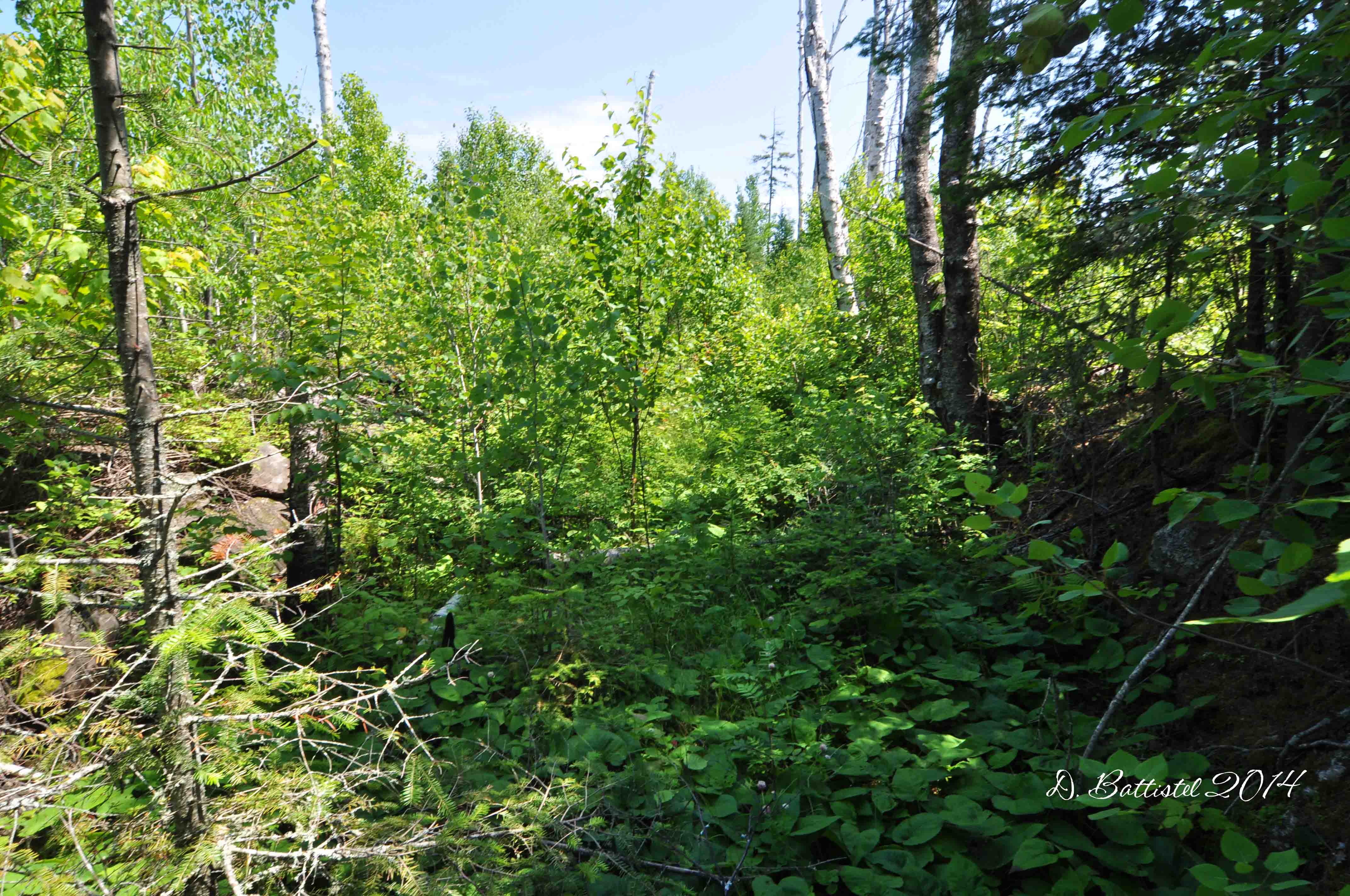
The line was easy to follow in this area, with corduroyed logs very visible under the grade. Half way across the 180m stretch we made our first find-a small spike (one of the smallest I’ve ever seen), which told us we were on the right path. Continuing southward we entered a wooded area and immediately found another spike, keeping us pointed in the right direction. But this was all to be expected; it was further south that the route of the line was in question. After 140m, we reached another low, open section.
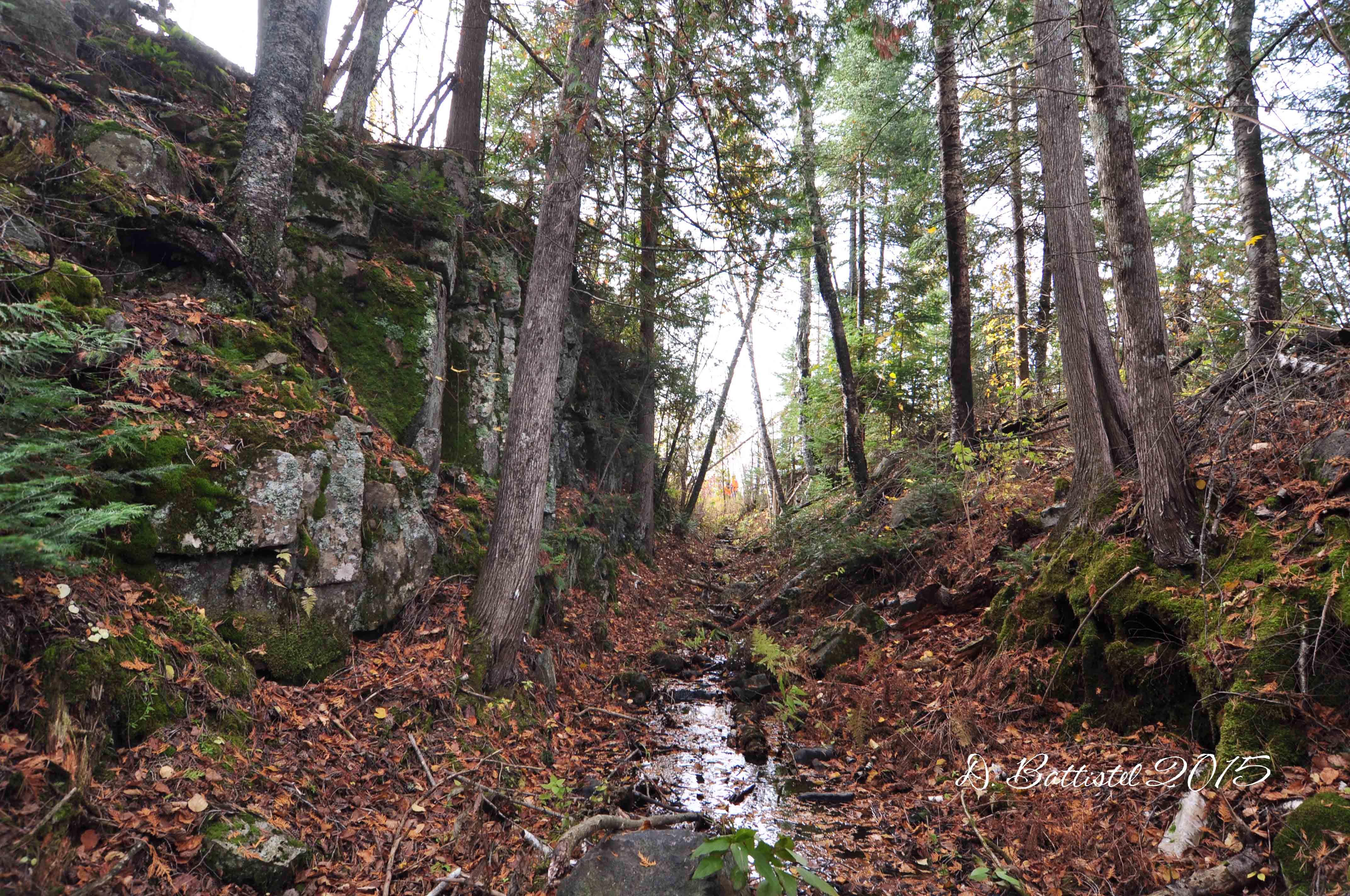
G&LS rock cut, October 2015.

G&LS grade, October 2015.

Corduroyed logs, October 2015.
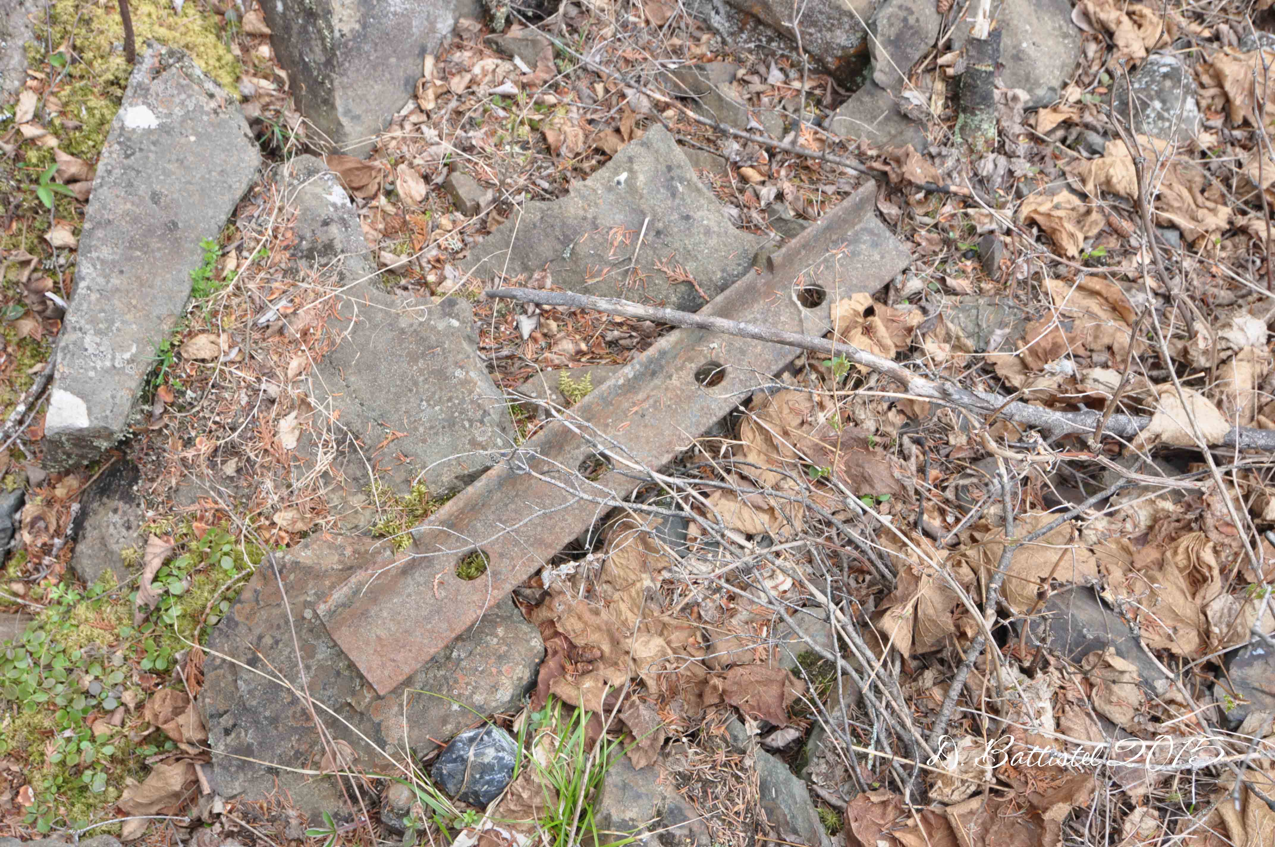
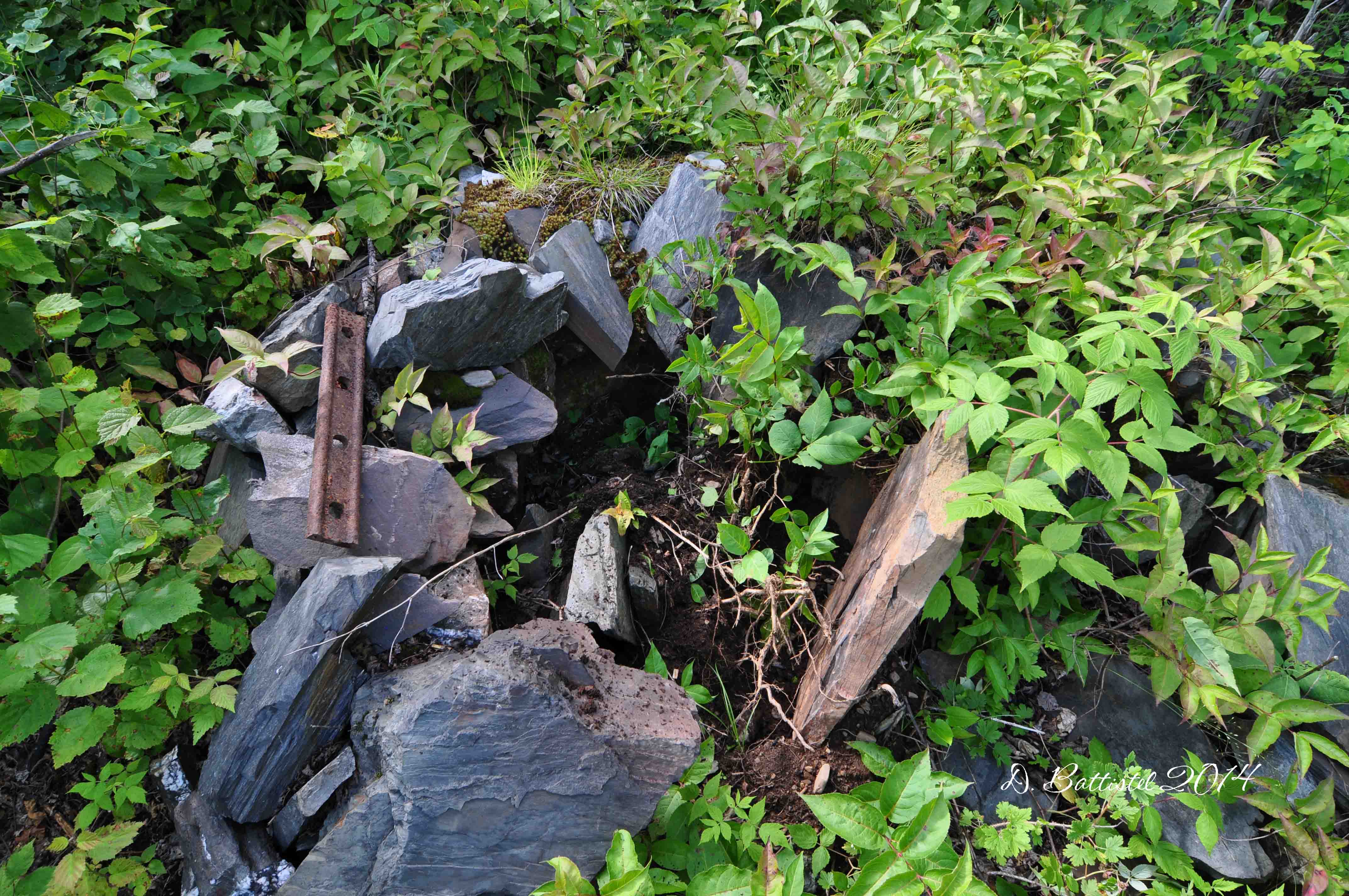
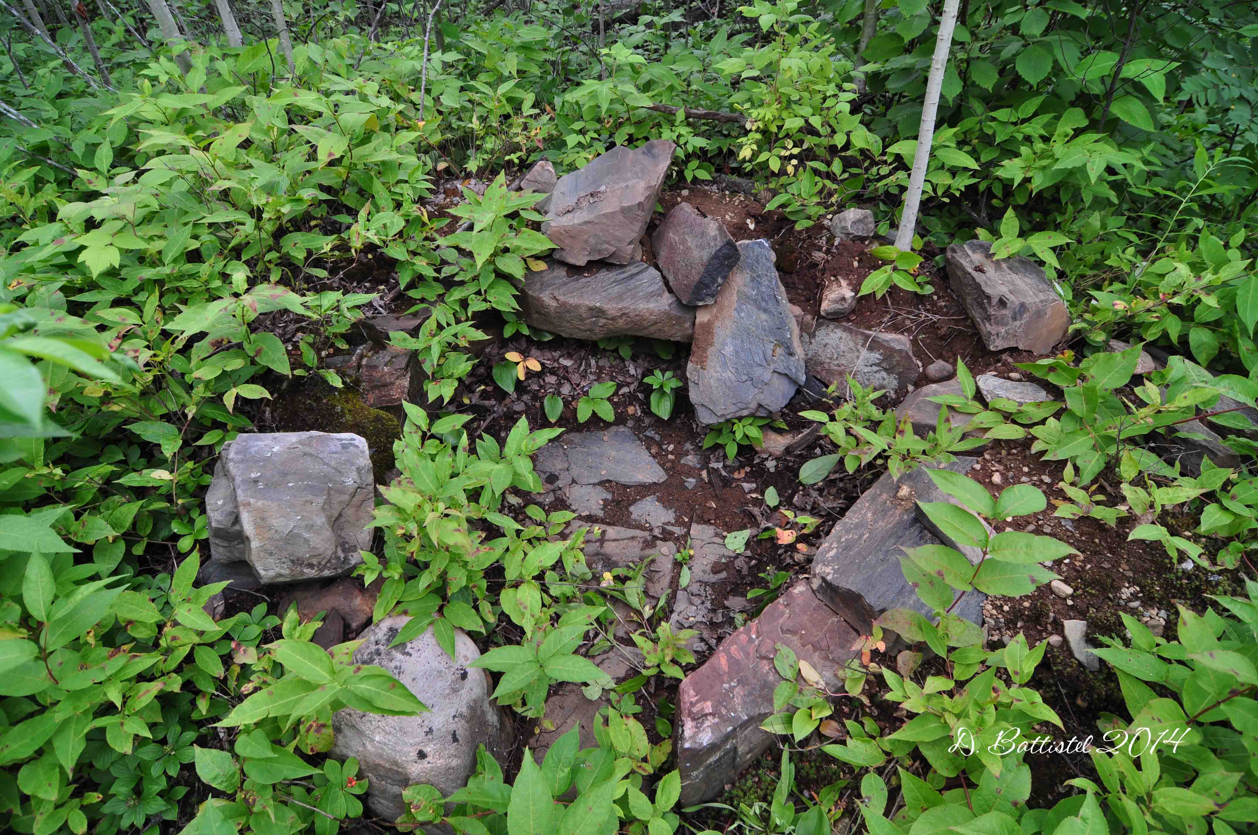
Last year it was here that I lost the line, but not this time. It didn’t take me long to find a spike, which told me my hunch was right, that the grade followed the course of the river. I crossed the low area and came into a wooded section where I immediately found yet another spike. As the grade curved around this ridge, I began finding many traces of the line. I came across a railway related object (might be part of a switch) and then several fishplates and spikes. The grade was clearly cut into the ridge as it swung from a south-westerly to southerly to south-easterly direction. Another fishplate told me I was still on the right “track.”

Switch part?, October 2015.

G&LS cutting, October 2015.

G&LS fishplate, October 2015.
As the grade turns easterly the river widens to form a small lake, and the railway curves along the shore of the lake. Last year I found corduroyed logs in the water in several places in this 300m stretch. This time around I turned up a metal object at the northern apex of the lake and then several spikes at the southern end where the lake narrows again. A short 150m walk took me down to Crab Lake, finding more spikes along the way. While the boys took a break on the shore, I followed what turned out to be the grade a short distance confirmed by yet more spikes. There’s still another kilometre to explore to the east end of Crab Lake, which I hope to get to next year.

G&LS Grade, October 2015.
On the walk back to the boat we stopped to take some photos of the beautiful Bridal Falls. The trip back to the lodge was much nicer than the previous day and it felt good to have a shower and relax. It was a tough day of hiking so I decided to treat the boys to dinner at the Gunflint Lodge. This has become a tradition for us on these trips and it’s a great opportunity for us to just hang out.

Crab River, October 2015.

Bridal Falls, October 2015.

Bridal Falls, October 2015.

Bridal Falls, October 2015.

Bridal Falls, October 2015.
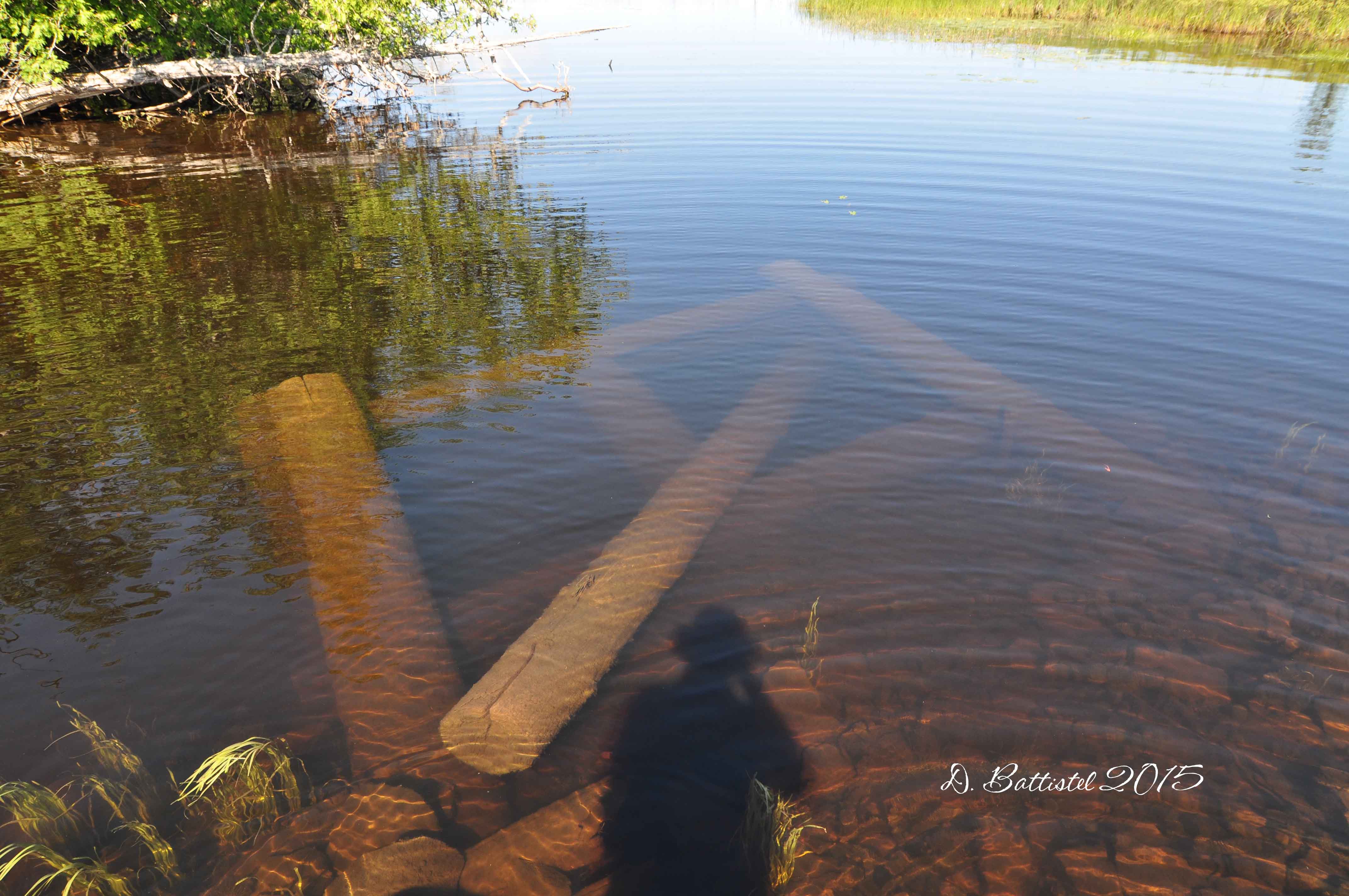
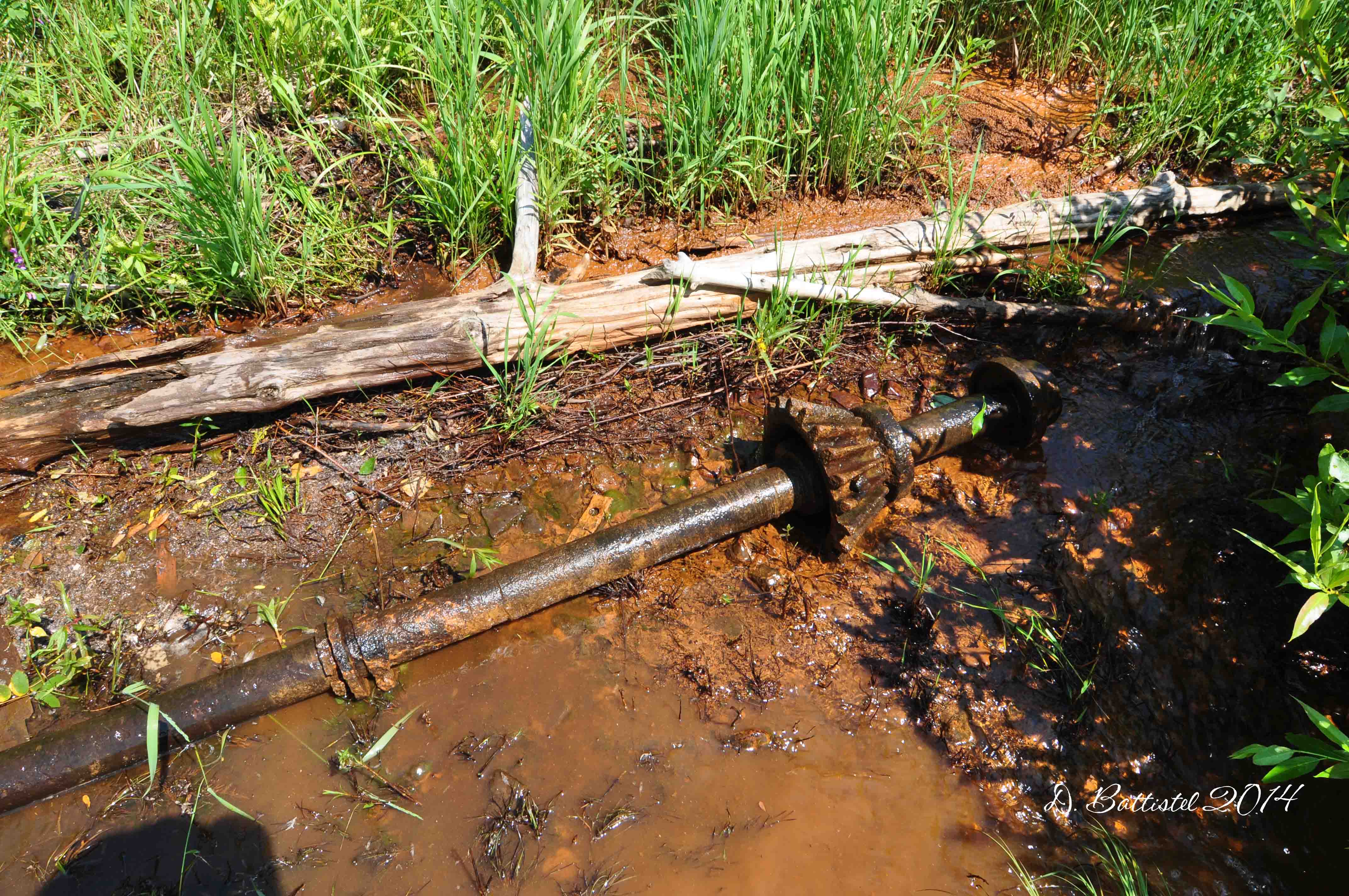
Sunday dawned bright and sunny again and after breakfast we were off across the lake for our last hike. I didn’t expect this one to yield any great breakthroughs since it was a section I had walked last summer. Our starting point was going to be where the railroad crossed a small creek 700m south of the boundary. With the water low, I was forced to paddle the boat in the last hundred metres to the shore. The remnants of the bridge were very visible in the water and I spent some time photographing them before proceeding ashore.

Bridge remains, October 2015.

Bridge remains, October 2015.
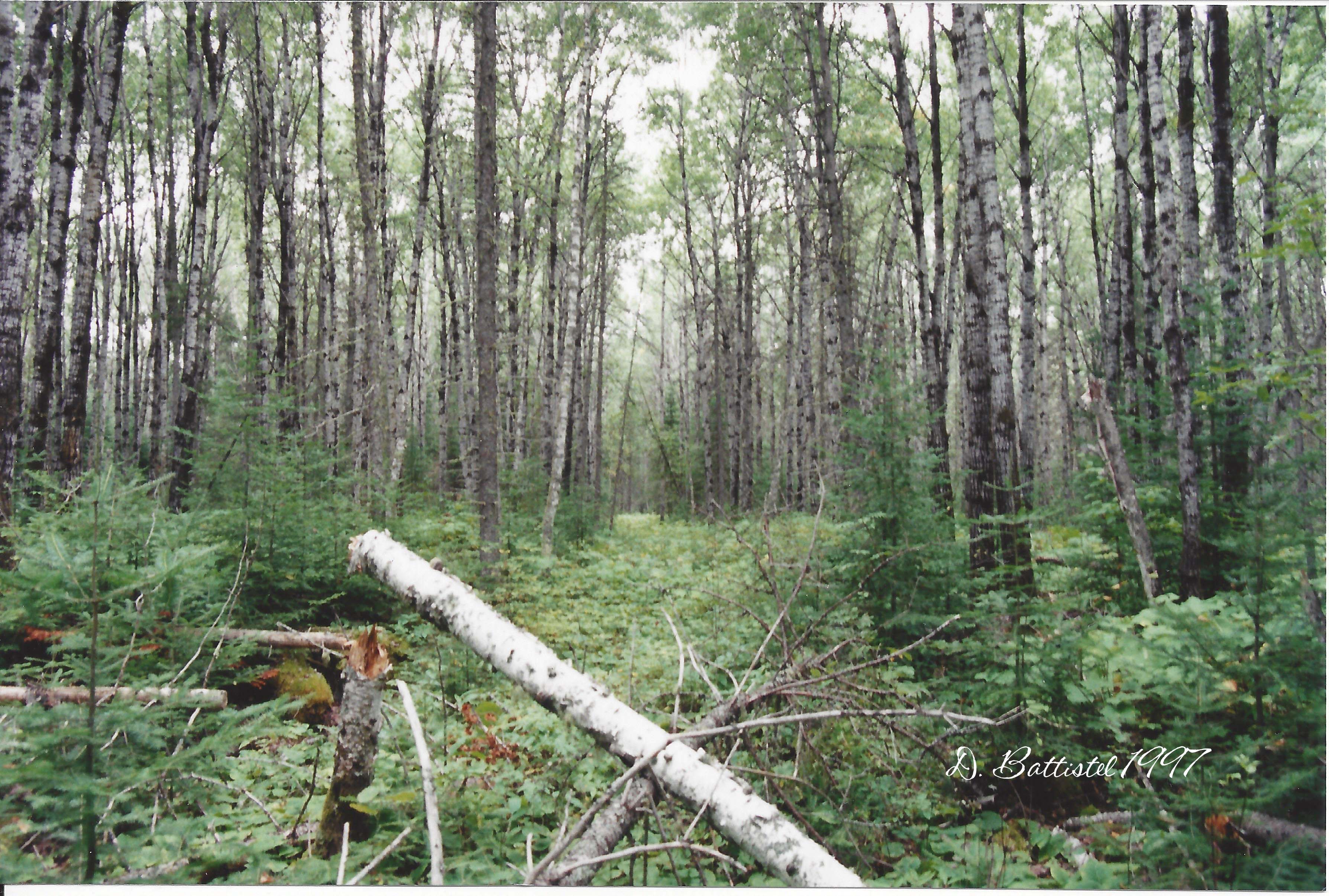
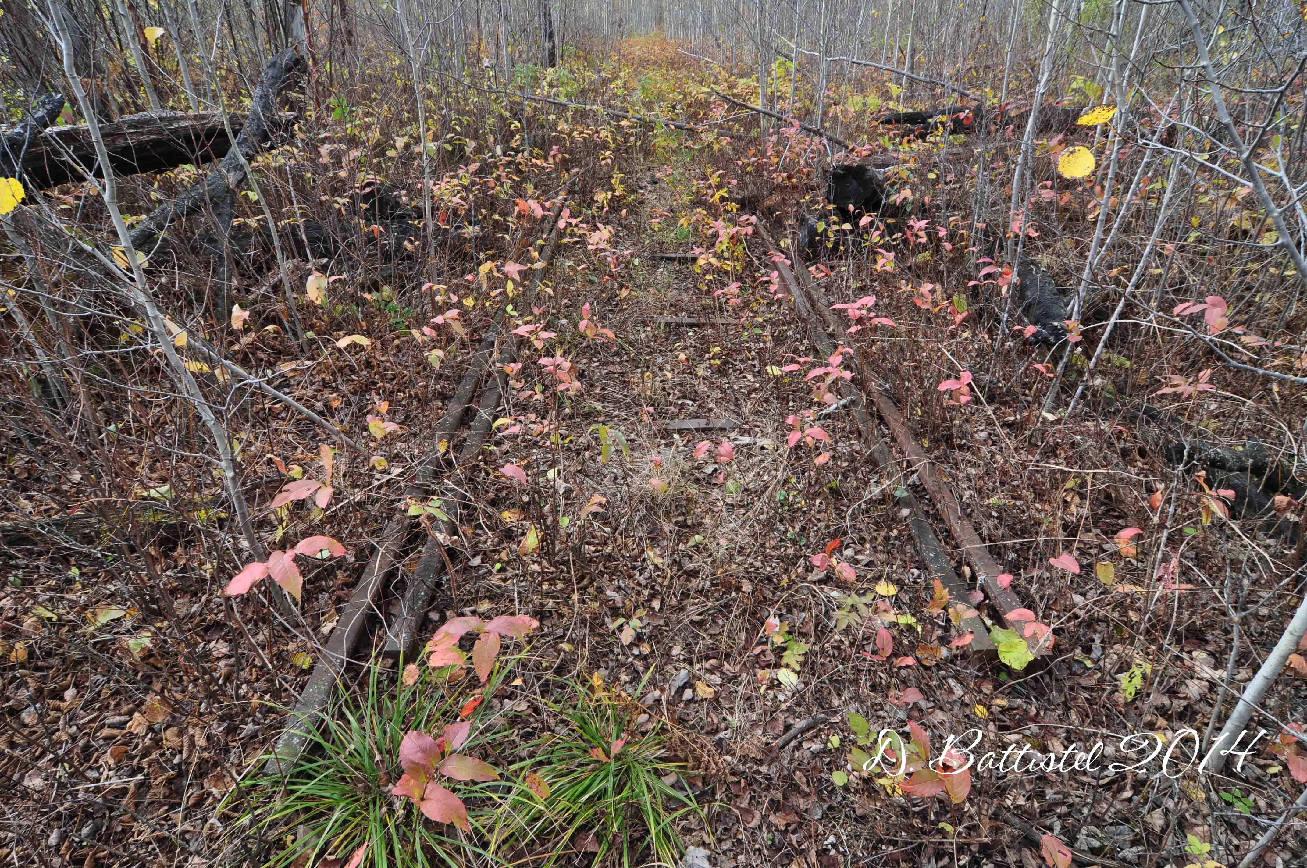
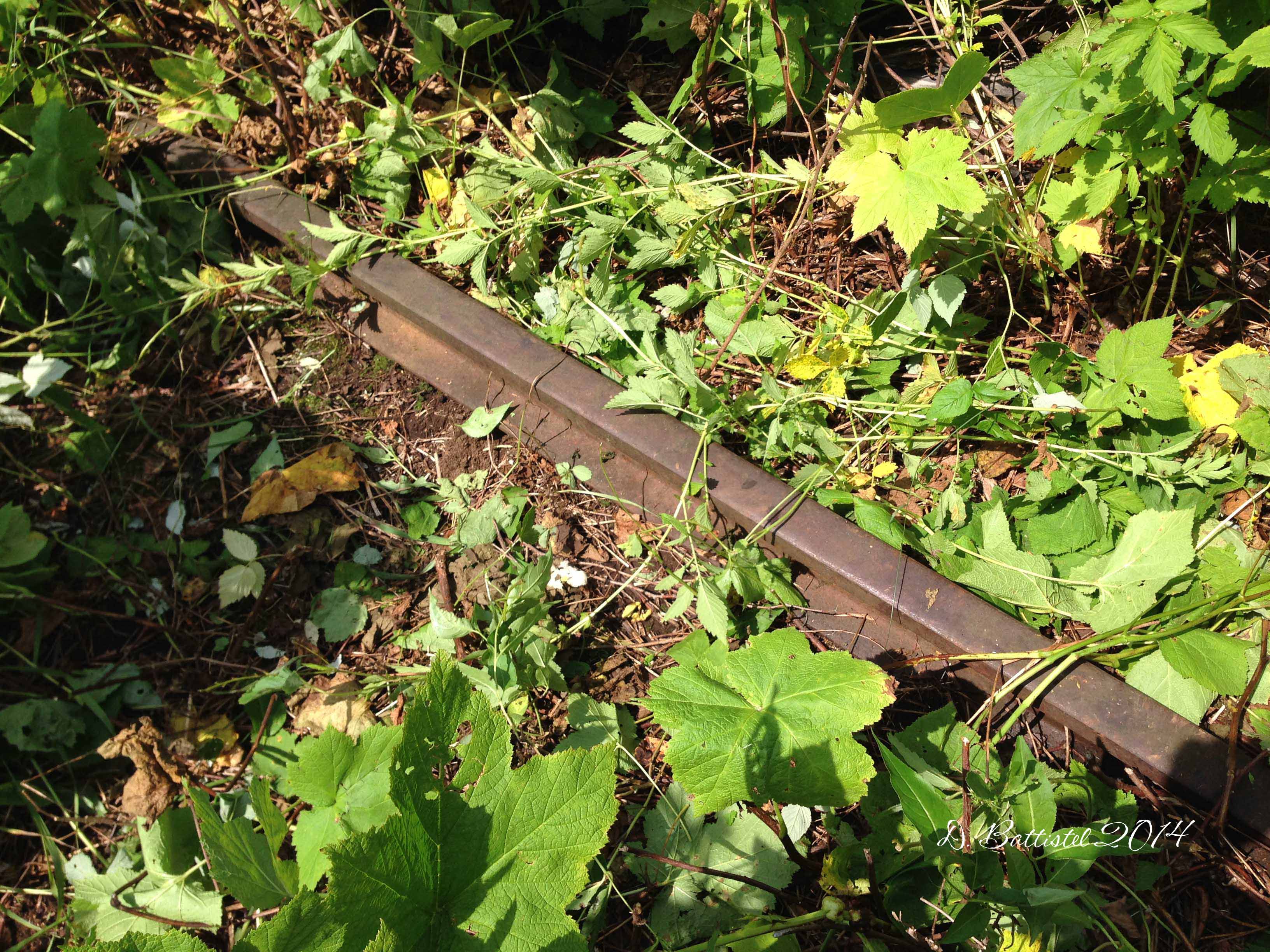
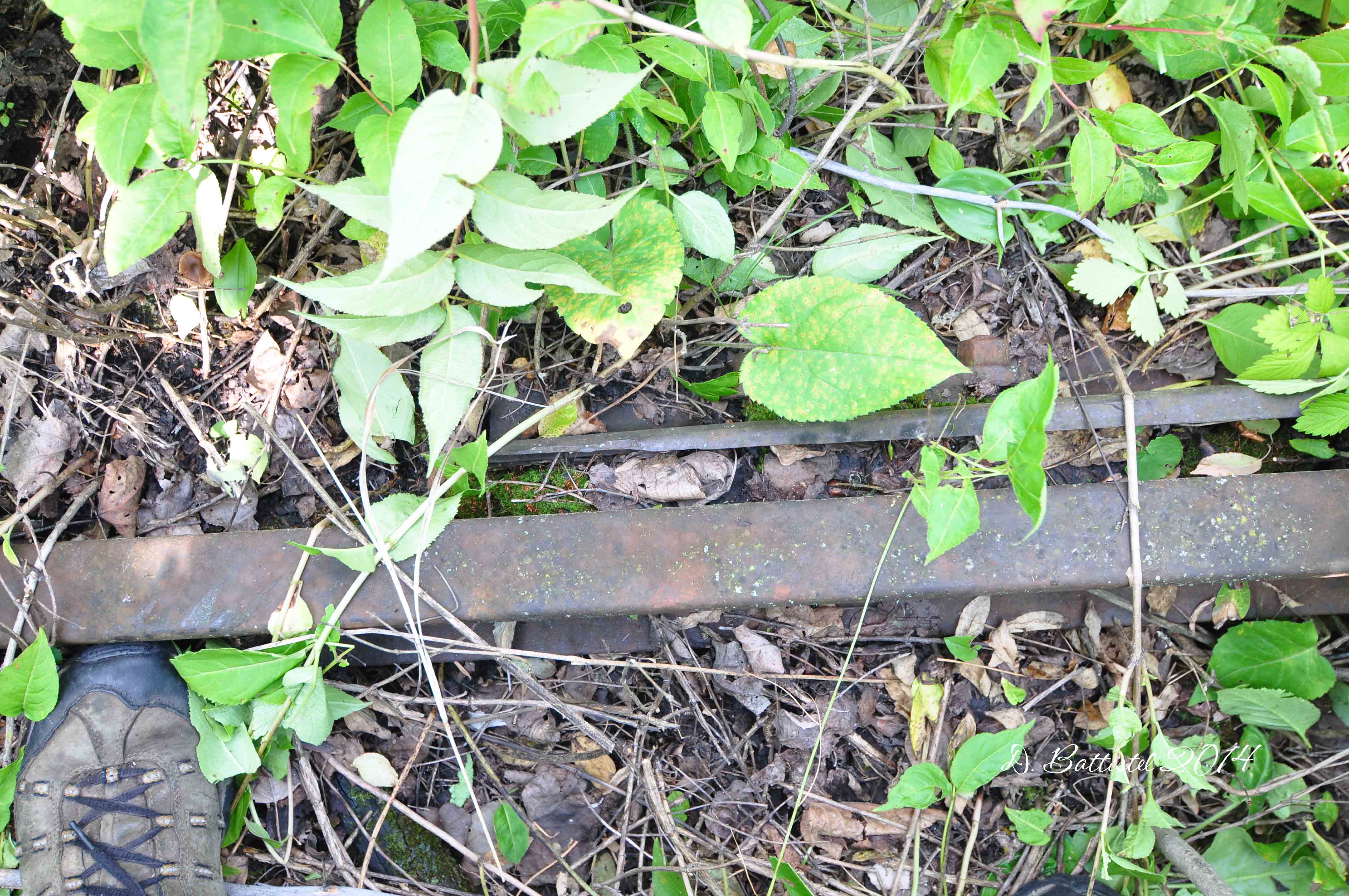
It did not take us very long to follow the grade as it winds its way along the lake up to the narrows separating Little Gunflint and Gunflint Lakes. After stopping a little while, we made our way back south. Things that I had previous seen along this stretch were much more visible, such as the corduroyed logs underneath the grade. With the leaves down, it was easier to follow the line and photograph its features.

G&LS grade, October 2015.

Rail, October 2015.

Corduroyed logs, October 2015.

G&LS cutting, October 2015.

Bridge remains, October 2015.
Our last night at the lodge was another great one. The mercury that day had risen to an unheard of level; the thermometer at the lodge was showing 91F, or 32C! It was gorgeous barbequing supper on the deck of the lodge and then enjoying the very warm evening. The next morning we were up early and after breakfast we had to sadly bid farewell to John and Rose and Gunflint Lake. I booked next year’s trip while I was there, so the countdown is already on to Thanksgiving 2016!
So, I guess after all of this blabbering I should mention something about the title. Well, one of things that came up during our time at Gunflint was the fact that I had not been hunting in a long time-eleven years to be exact-and that the boys had never been before. Hunting was a part of my youth. My dad hunted, not avidly, but rather I think he just enjoyed being outdoors and walking (I wonder where I get it from). I have some very fond memories of those times and I want the boys to experience that too.
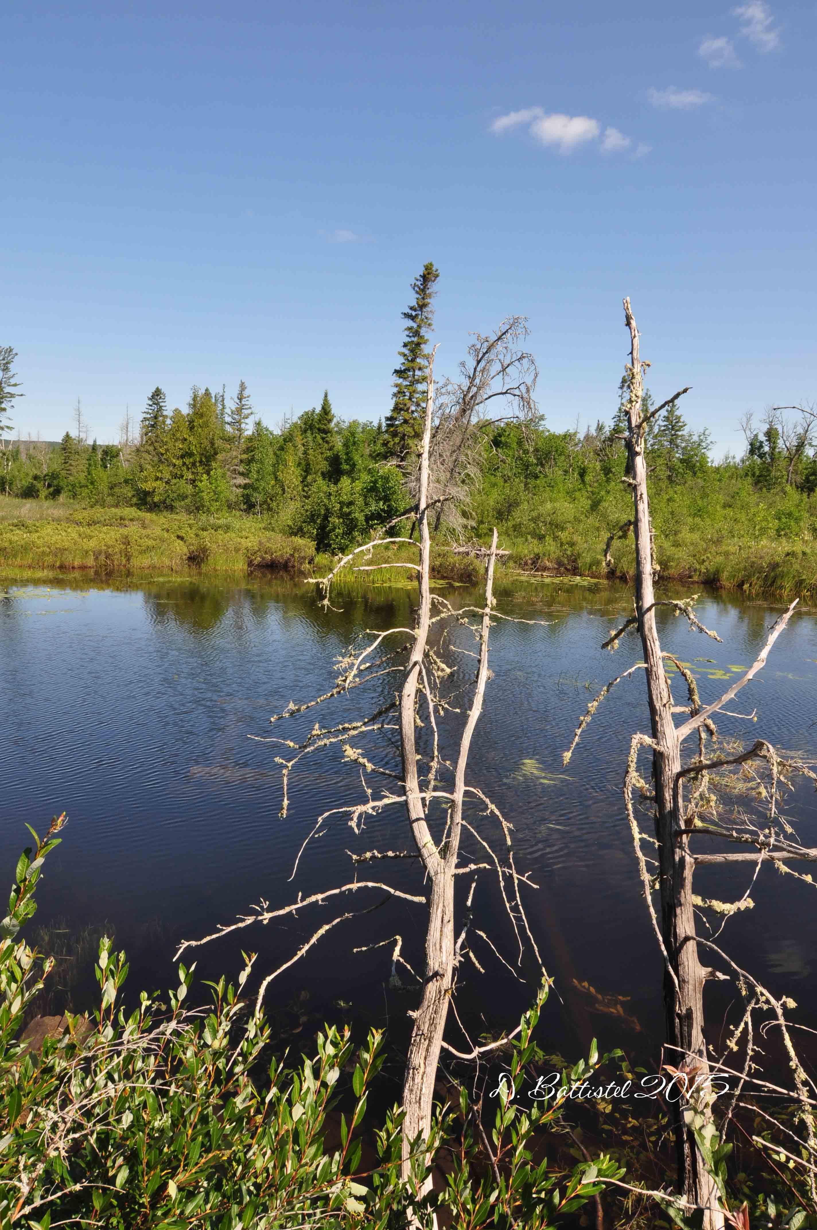
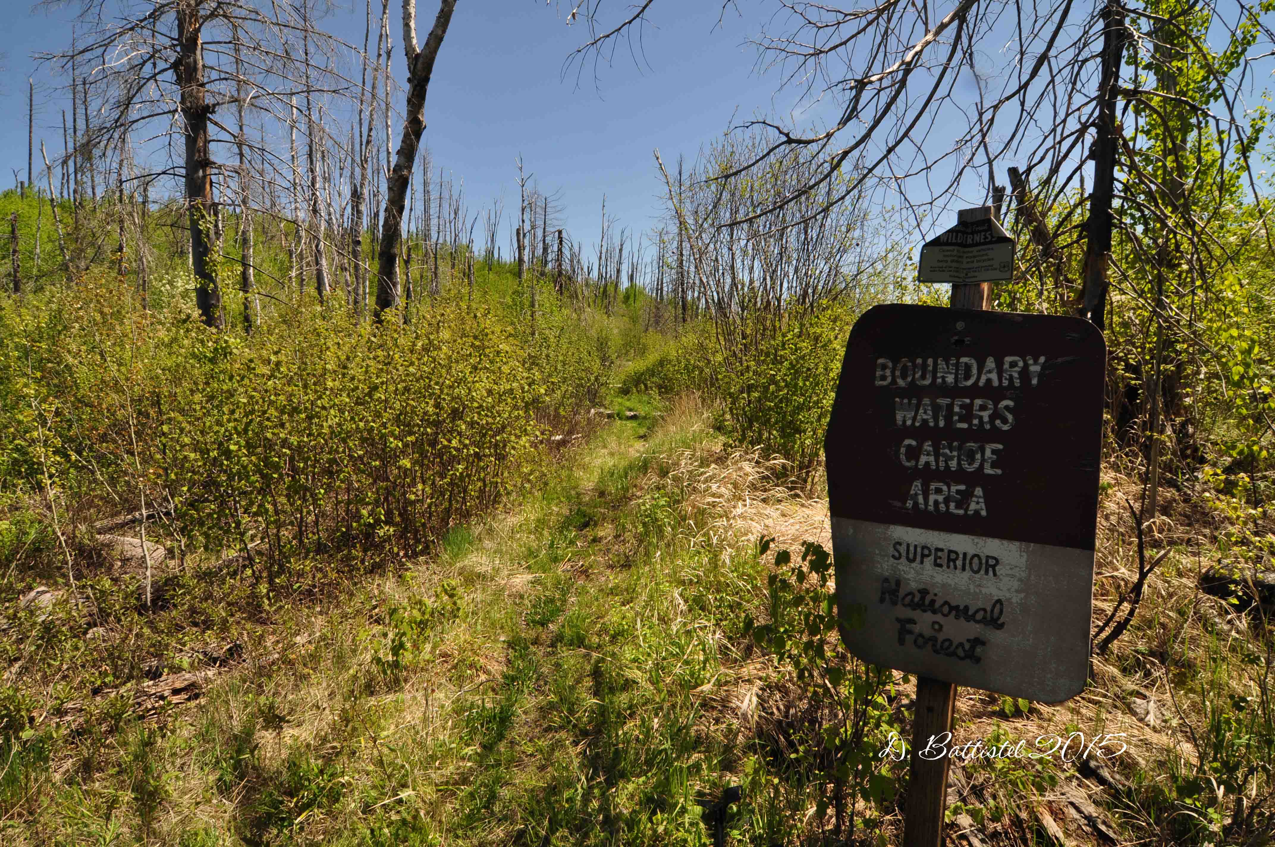
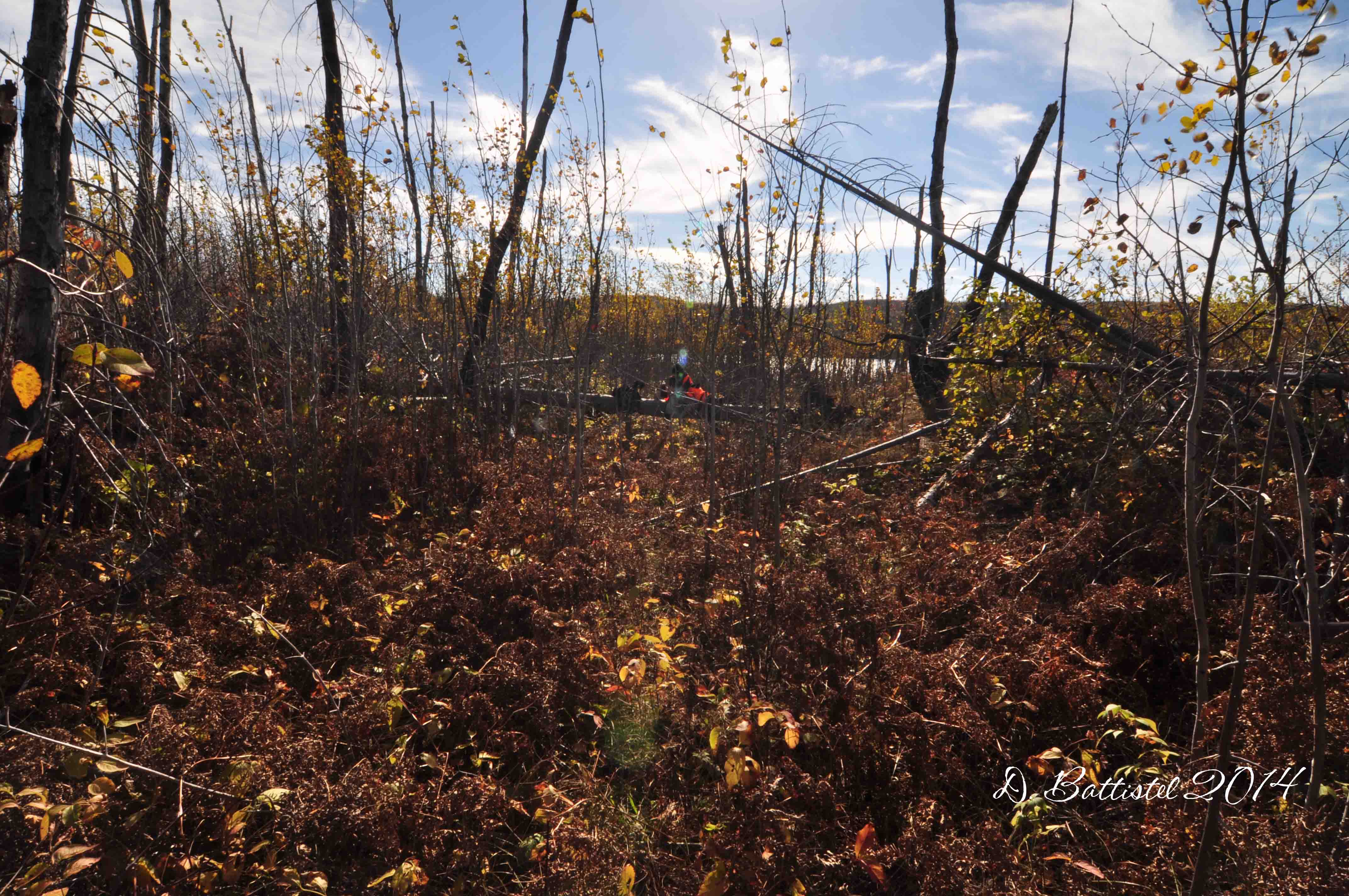
The plan was that the following Sunday, if the weather cooperated, we would head down to North Lake to do some hunting and explore the railway at the same time. I had not walked this portion of the PAD&W since 2010 (I think) so I would be an opportunity to kill two birds with one stone, if you pardon the pun. It would also be the first time in a long time that I did field work twice in a week!
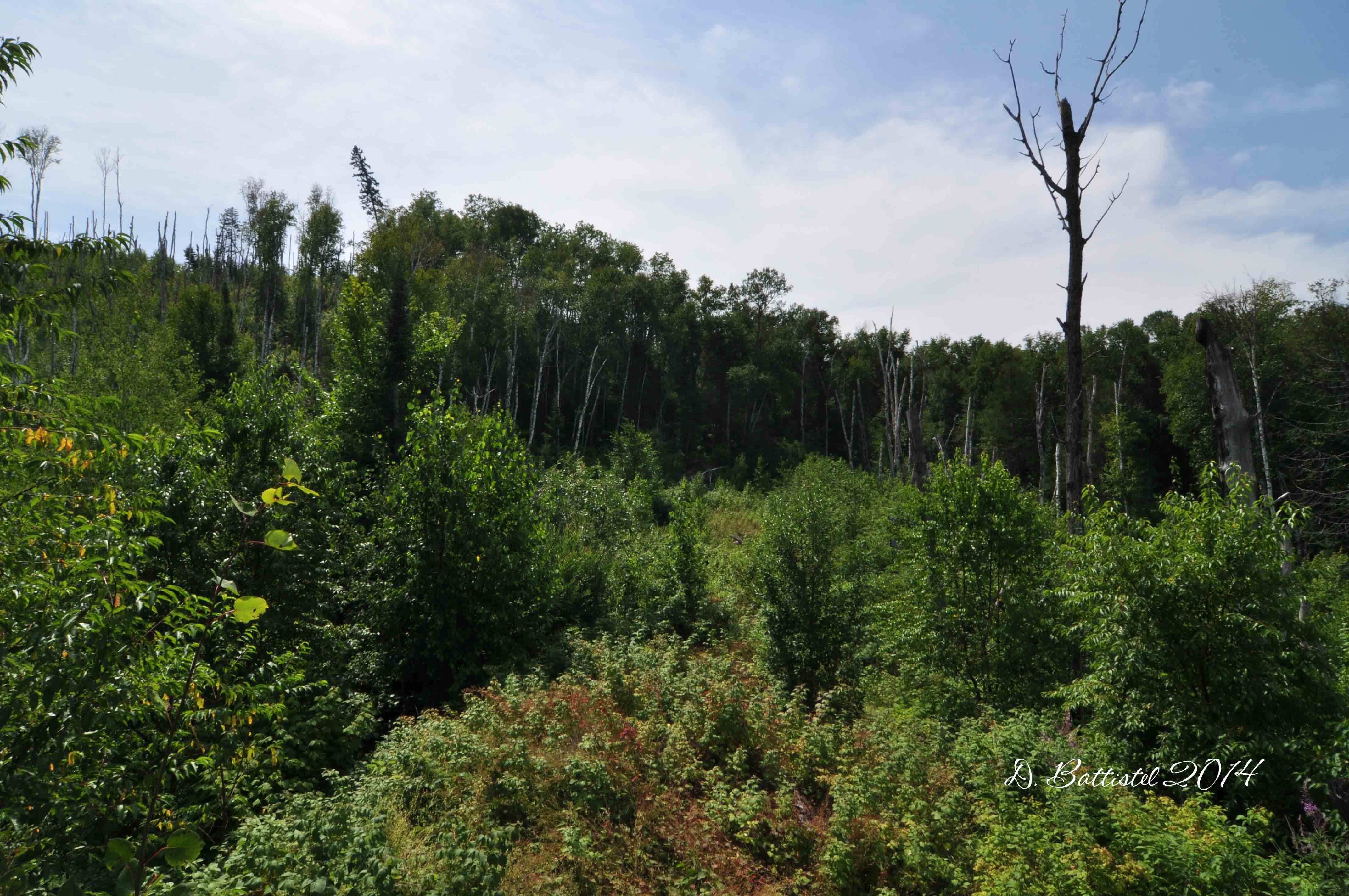
We left early for the 100km or so drive down to the lake. Once we parked the truck we started on the long walk, almost 7km, toward our destination at Trestle Bay. Luck was on our side again and it was shaping up to be another fantastic day.

PAD&W embankment, October 2015.
After about a kilometre of walking, we came across our first ruffled grouse, or partridge as we call them around here. I was a little nervous about actually shooting, as it had been such a long time since I had last fired a gun. Thankfully, my aim was true with my dad’s old Mossberg .410 and we bagged our first bird of the day. Unfortunately the shotgun blast scared the bejesus out of poor Noah!
This trip was a bit of nostalgia for me. Way back in the fall of 1990 I made my first trip to North Lake; I was all of 16 years old and it was also my first time moose hunting. Friends of the family had just purchased the former Bishop’s homestead on the lake and I was taken by all the history in the area. Walking the grade, finding spikes and exploring the remains of the North Lake Station really captured my imagination. This is where it all began.

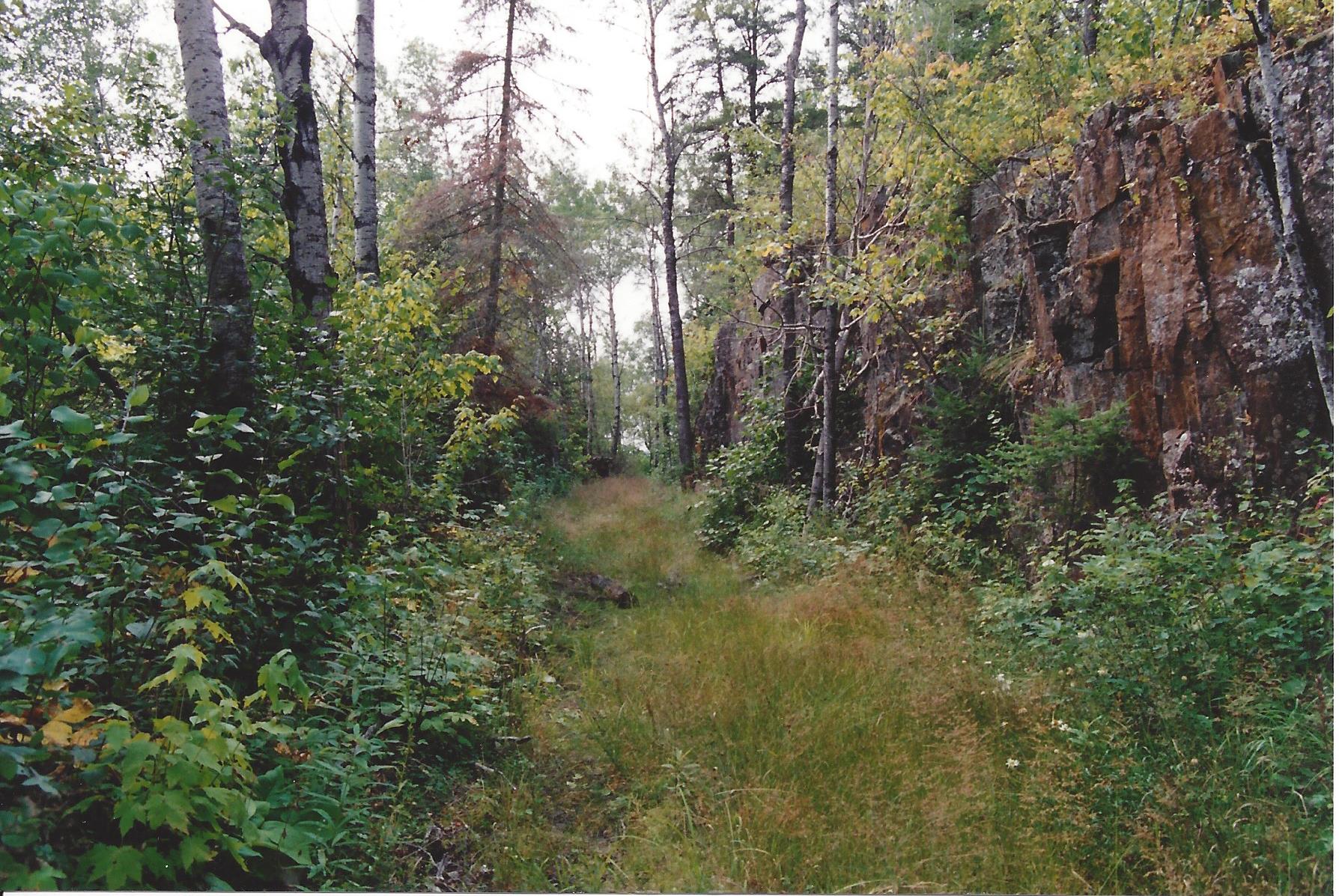
PAD&W rock cut, October 2015.
Back then the grade was only clear for one kilometre past the property where it crossed a swamp. I had a lot of success in those days finding birds along this stretch and luck was on my side once more; by the time we reached the swamp we already had 3 of them. Continuing on we netted our limit by the time we arrived at the site of Greer’s logging camp, some 2.5km to the west (5 shots, 5 birds). The gun was then unloaded and shouldered, the dog cut loose and I could now concentrate on walking the grade. The hike was so picturesque and relaxing; I had forgotten how beautiful this area was. I also came to the realization that while enjoyed the time hunting, I’d much rather be focussing on the railway.

PAD&W cutting, October 2015.

PAD&W cutting, October 2015.

PAD&W rock cut, October 2015.

Greer’s logging camp, October 2015.

PAD&W rock cut, October 2015.

PAD&W rock cut, October 2015.
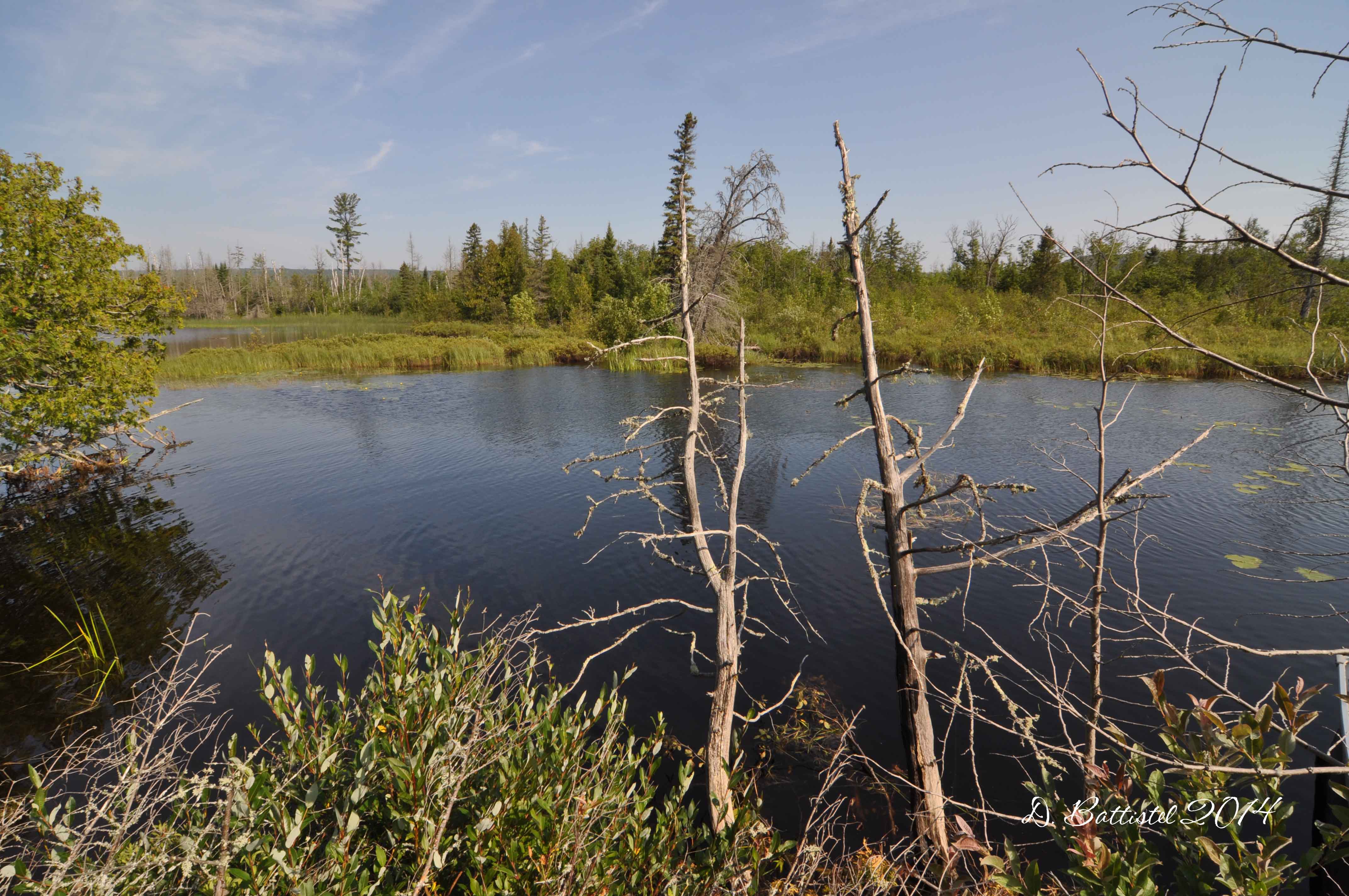
By noon we reached Trestle Bay, and after a break for some food we started back toward the truck. We paused several times along the way to take some video of the many rock cuts in the area. We arrived at our starting point around 3:30, just in time to get rolling home, but not before we cleaned the partridge. I don’t think the boys enjoyed that part very much, but neither did I when I was their age. It did feel good to share this icky part with them though, especially teaching them how to do it properly just as my dad did with me. I think that he would have been proud of the day we spent together…hopefully we can do it all again next year.

Trestle Bay, October 2015.
Well, I think I’ve said enough for now. This post has taken a lot of time to write and put together…twice in a week is more exhausting than I thought. Anywho, I better go; more news and info coming soon. Until then…