Have you every experienced something for the first time and it wasn’t anything like you thought it would be? We all have right? I guess there’s a certain amount of expectation when it comes to new encounters and usually it doesn’t quite match what we’ve created in our heads. How about when you didn’t think it would happen and it did, even though it was a possibility? Does the surprise and shock influence the reaction? Definitely food for thought. Gee, who would of thought I’d start this post on such a deep and philosophical note?
Hey kids, I’m back! Yes, it’s been a while and luckily, it’s still summer, thought it is slipping by with alarming speed. It sucks to know that in a month I’ll be back at work…ugh! Why does summer vacation go by so quick when you’re old? When I was a kid, it seemed to go on forever. More food for thought right?
Anyway, so what have I been up to you might ask? Well, it has been a busy month since I last wrote. Right after school ended, the family and I left for a 10-day trip to California. I’d never been there before, so it was going to be quite the experience for me and the boys (my wife had been there a few times). The flights there were uneventful, though we had to get up at a ungodly hour (2:30am) to be at the airport on time for our 5:00am flight. Thank Jesus the airport in Thunder Bay is only 10 minutes from our house!
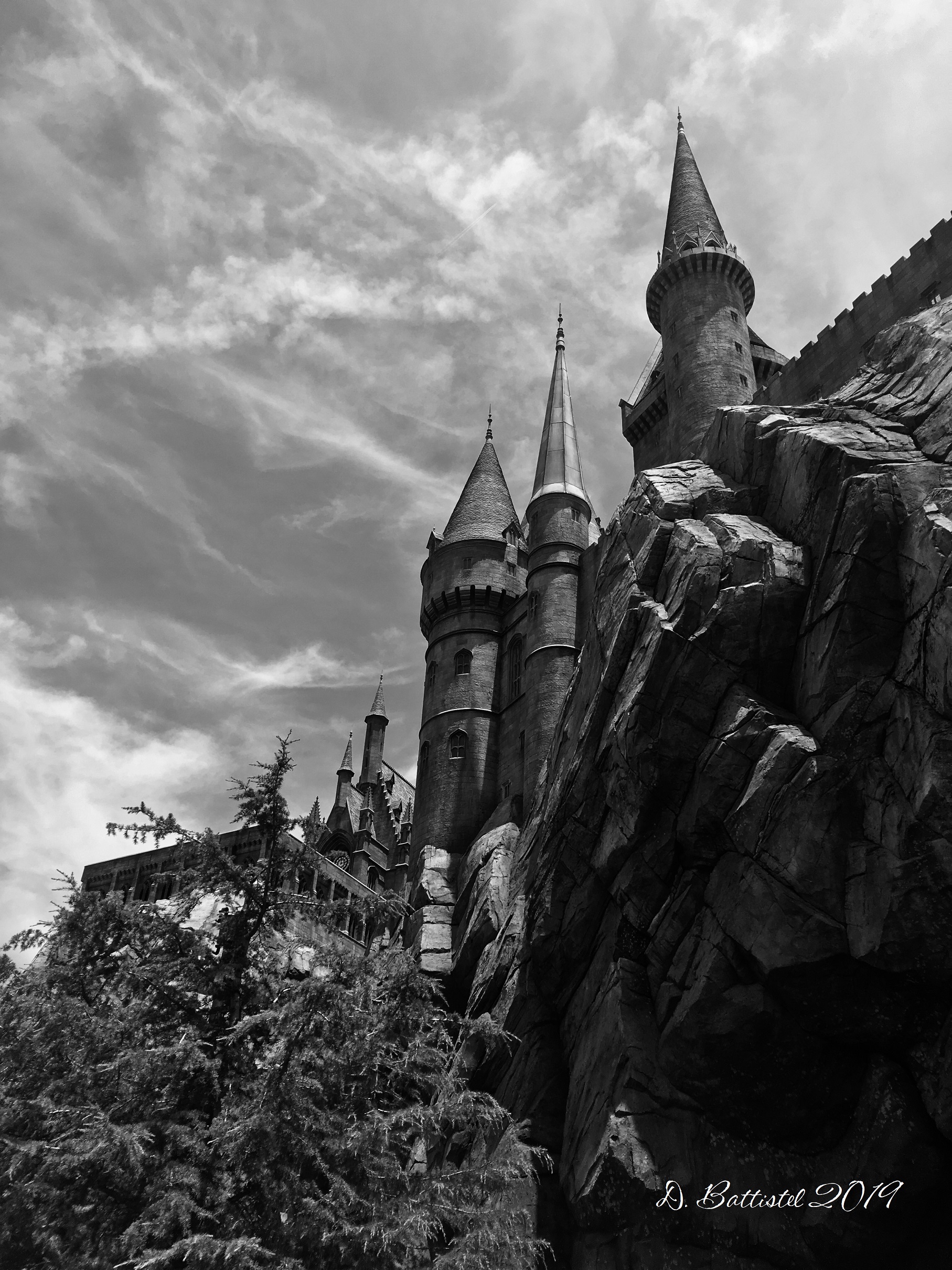
Our first stop after landing was nearby Venice Beach, where I was immediately sucked into a street performance because they needed some “rich, old white guys.” Not sure I quite fit that bill but it was fun, nonetheless. The next days were filled with visits to Universal Studios, Newport Beach, Pasadena, Hollywood, Santa Monica, La Brea Tar Pits, Six Flags Magic Mountain and Malibu. We did do some off-beat things, like when my wife decided to get a tattoo and the boys wanted to visit Norman’s Rare Guitars in Tarzana. It was all great, including the weather, except for one thing; the traffic. Holy crap the traffic is nuts in LA! I’ve been to some big cities like Minneapolis, Chicago and Toronto, but nothing prepares you for that. There are a ton of cars on the road, the lanes are narrow, and it’s constantly jammed. One day we went to Jo-Anne’s cousin’s for dinner and the 60km trip took us 2 hours. God it’s crazy!

Venice Beach, July 2019.
Harry Potter World, July 2019.
Newport Beach, July 2019.
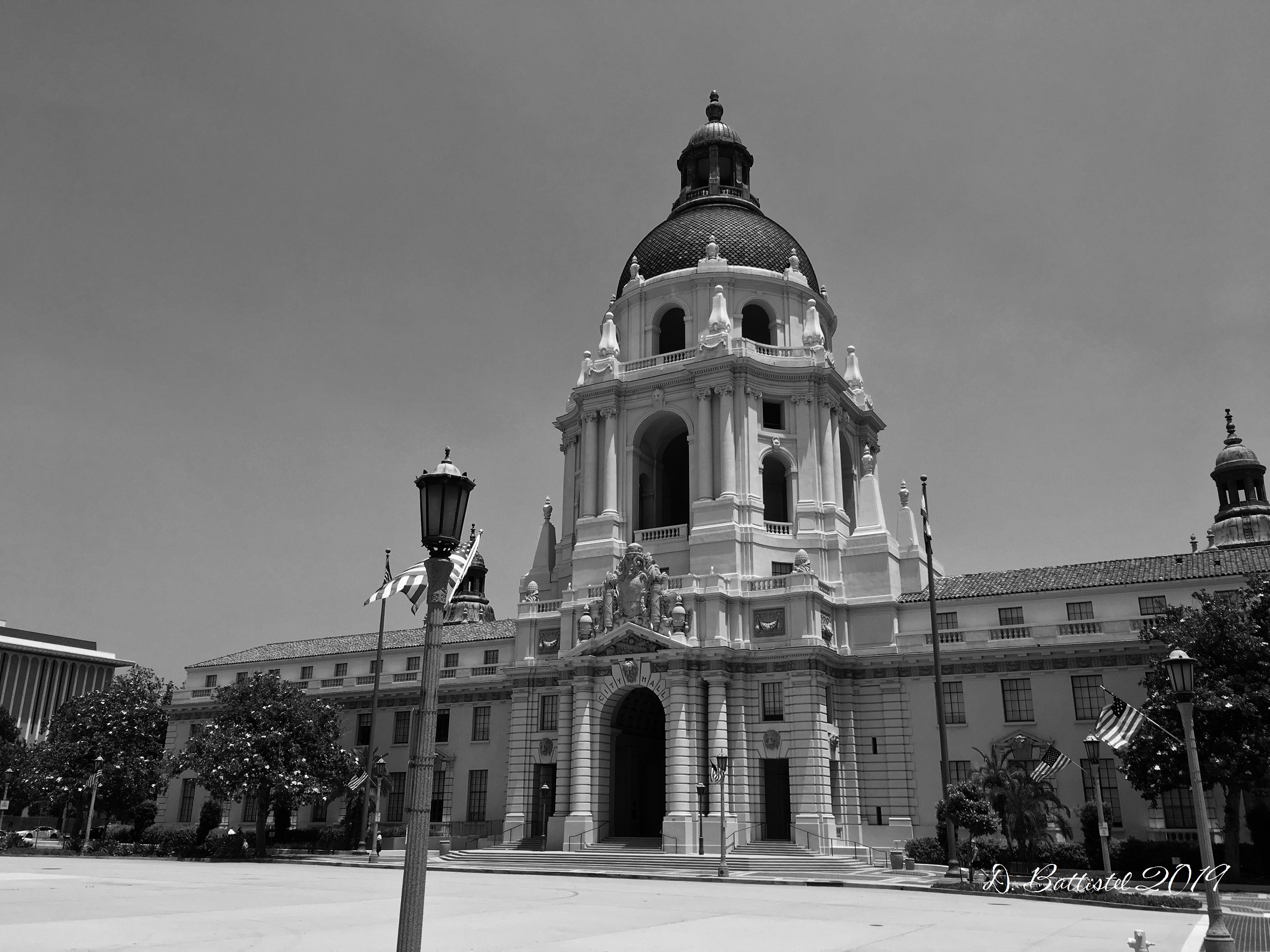
Pasadena City Hall, July 2019.

Beverly Hills, July 2019.

Rodeo Drive, July 2019.
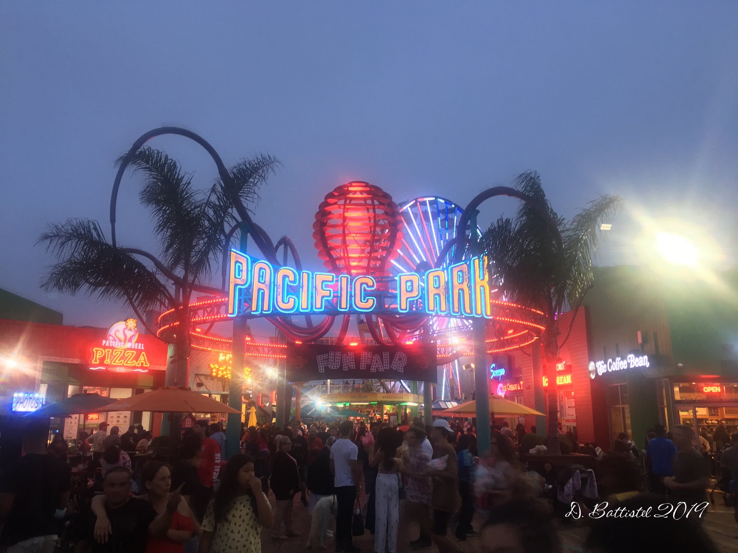
Santa Monica Pier, July 2019.
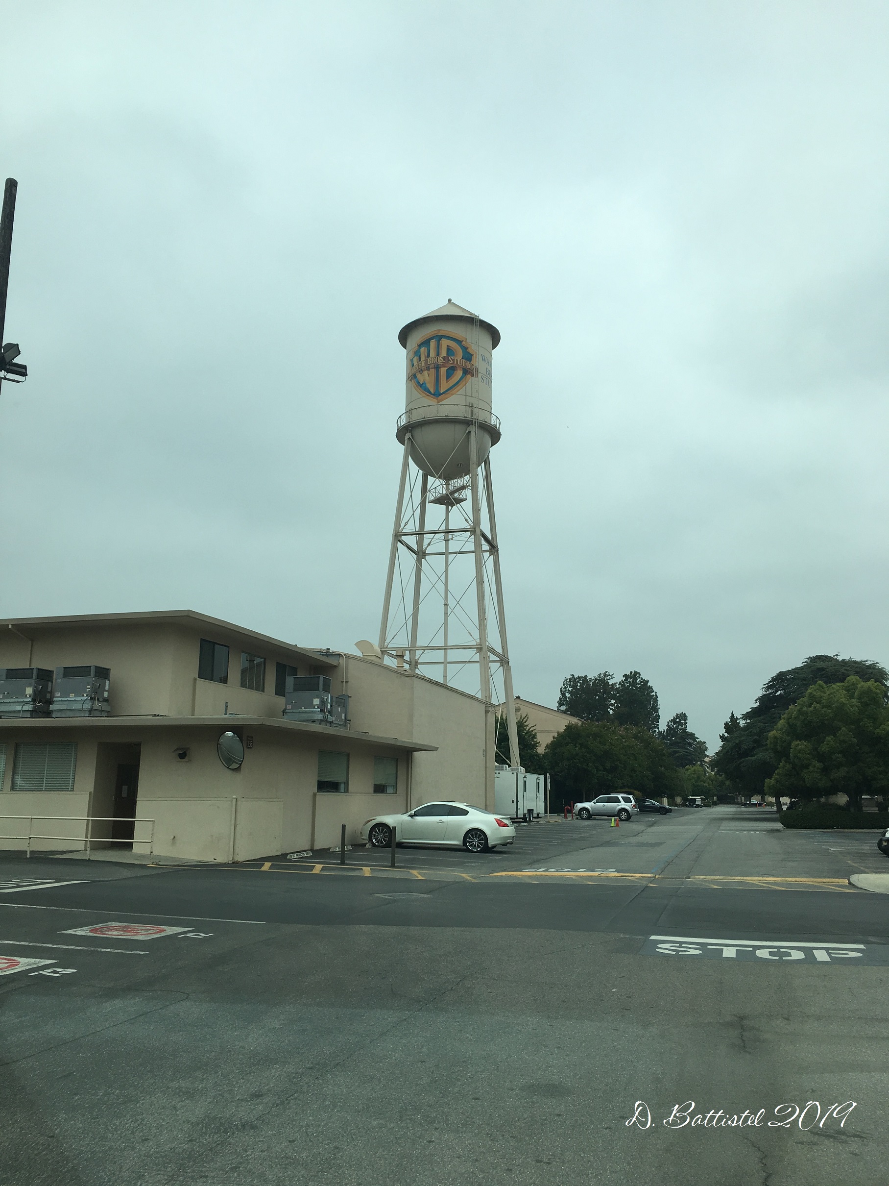
Warner Brothers Studio, July 2019.

La Brea Tar Pits, July 2019.

Norm at Norman’s Rare Guitars, July 2019.
Malibu Pier, July 2019.
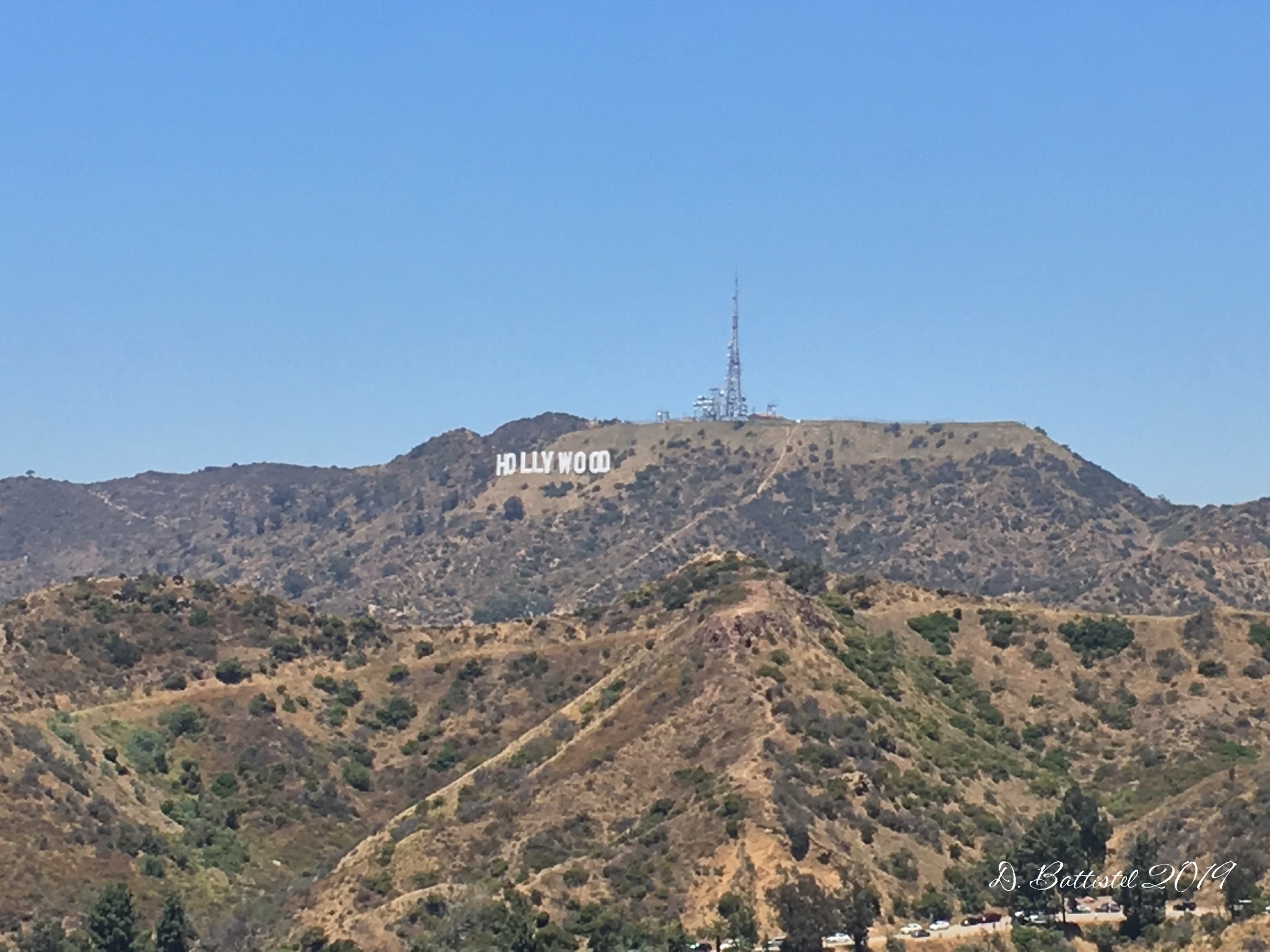
Hollywood Sign, July 2019.
Los Angeles, July 2019.
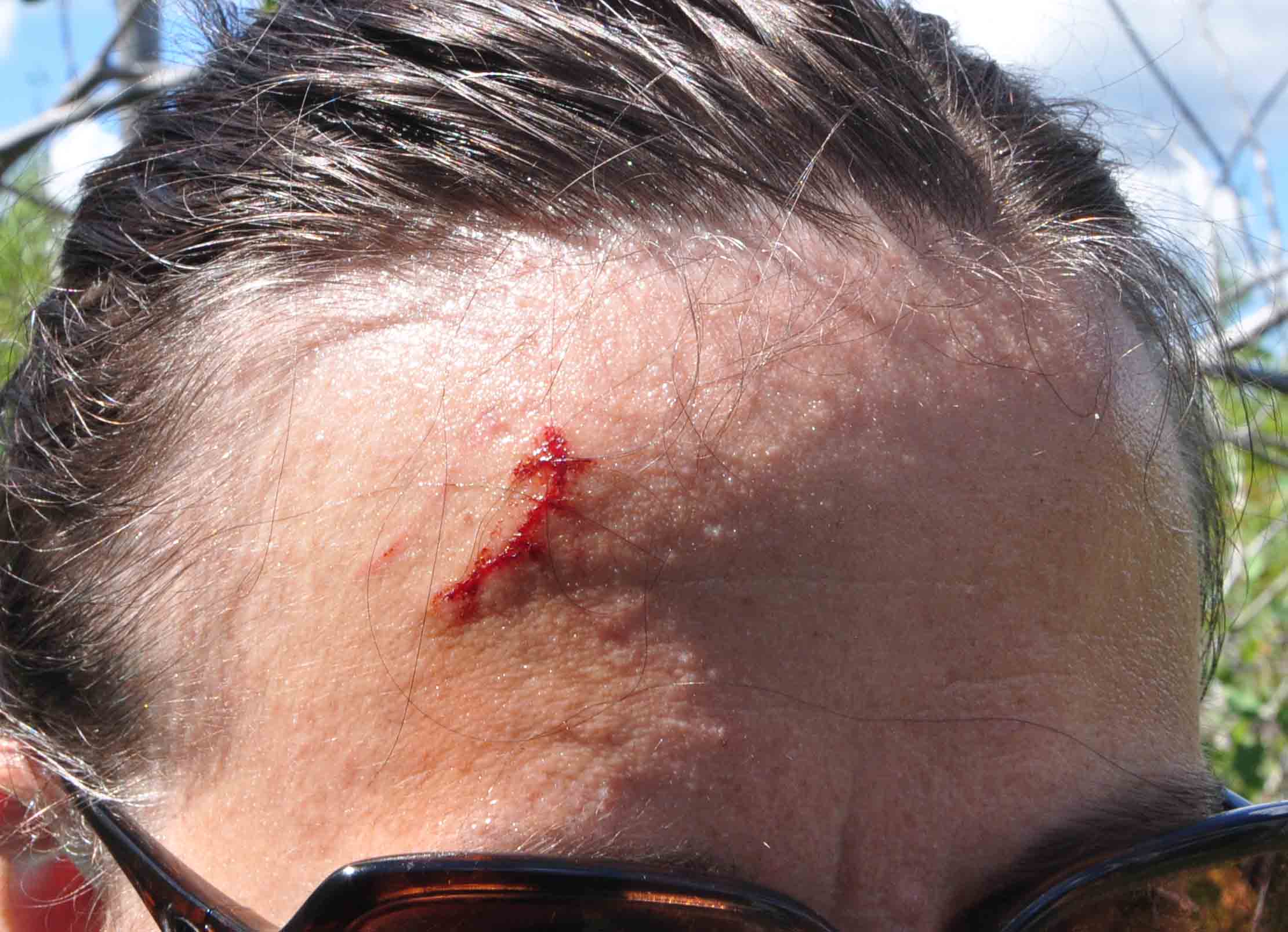
While we were there, we got to experience something unusual for us; earthquakes. Not I’m not trying to be callous about this, since they are serious and often tragic, but it was an interesting experience. The first quake happened on July 4th when we were at Newport Beach. We didn’t feel anything, but when we got back to the hotel and wifi, we were bombarded by messages asking us if we were okay. It was news to us! However, at 4:00am the next morning we were awakened by a little shake, which turned out to be an aftershock. It actually took us a minute to register what it was. Then later that day, when we were at Jo-Anne’s uncle and aunts for dinner, there was another quake. It was nothing like I expected; suddenly the dining room light started to sway. Again, there was a delay registering what was going on, especially since this wasn’t a violent shaking quake, but rather a “roller.” Being naïve and inexperienced, our first reaction was “cool.” It was probably not to best comment to make, but we’ll know better for the next time.
So, what have you been up to since you got home Dave? Well, the answer is pretty simple…camp! The weather so far this summer has been pretty decent, which makes the time out there much more enjoyable. However, it’s not all swimming, BBQ and cold beers (I’m not much of a drinker anyway). Having a camp (cottage, cabin…whatever you call it) is like having another house. There are a million things to do, besides the clean up that has been ongoing after many years of neglect. I have a to-do list that is like 12 points long! The only unfortunate thing is that I have not been home much to take care of things around here, which means I’ll have to get to it in the fall. I know, poor me, right?

Camp sunset, July 2019.
As you can imagine, things have been quiet on the railway front. The only exception is what is becoming an annual presentation at the Chik-Wauk Museum. They asked me to come back again this year and I gladly obliged. I decided to speak about a topic many people had heard about in the area, but probably knew little about, which was the ghost town of Leeblain. Even though it’s been a while since I’ve visited the site, I decided it was something people would enjoy learning the history of. There was a lot of pre-presentation interest on social media, which I hoped would make for a good-sized crowd. In the end, almost 60 people came to hear this fascinating story, which essentially packs the nature center at the museum. I thought it went well, especially considering my attention has been on other topics in the last few years.

Chik-Wauk Museum, July 2019.
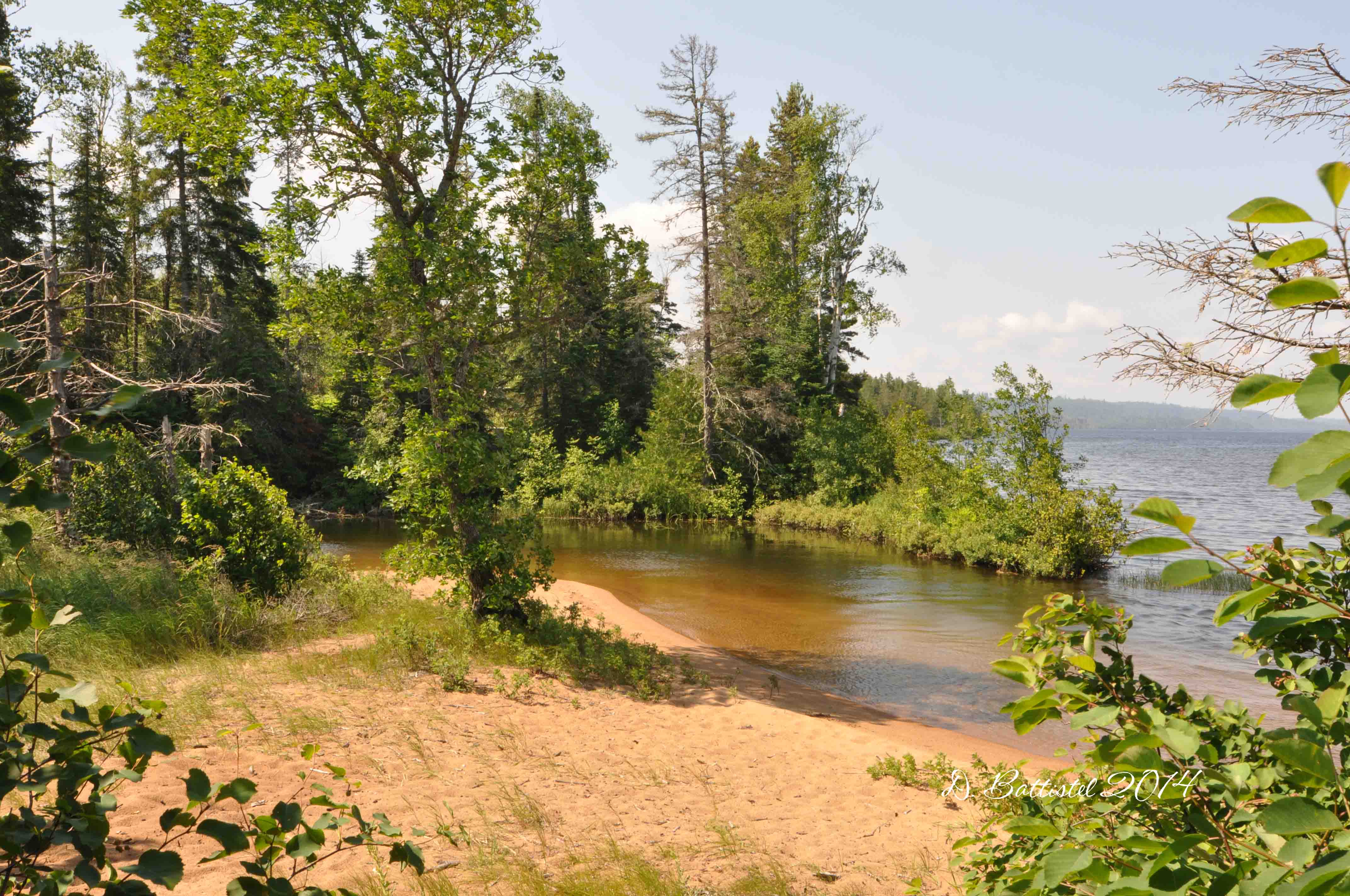
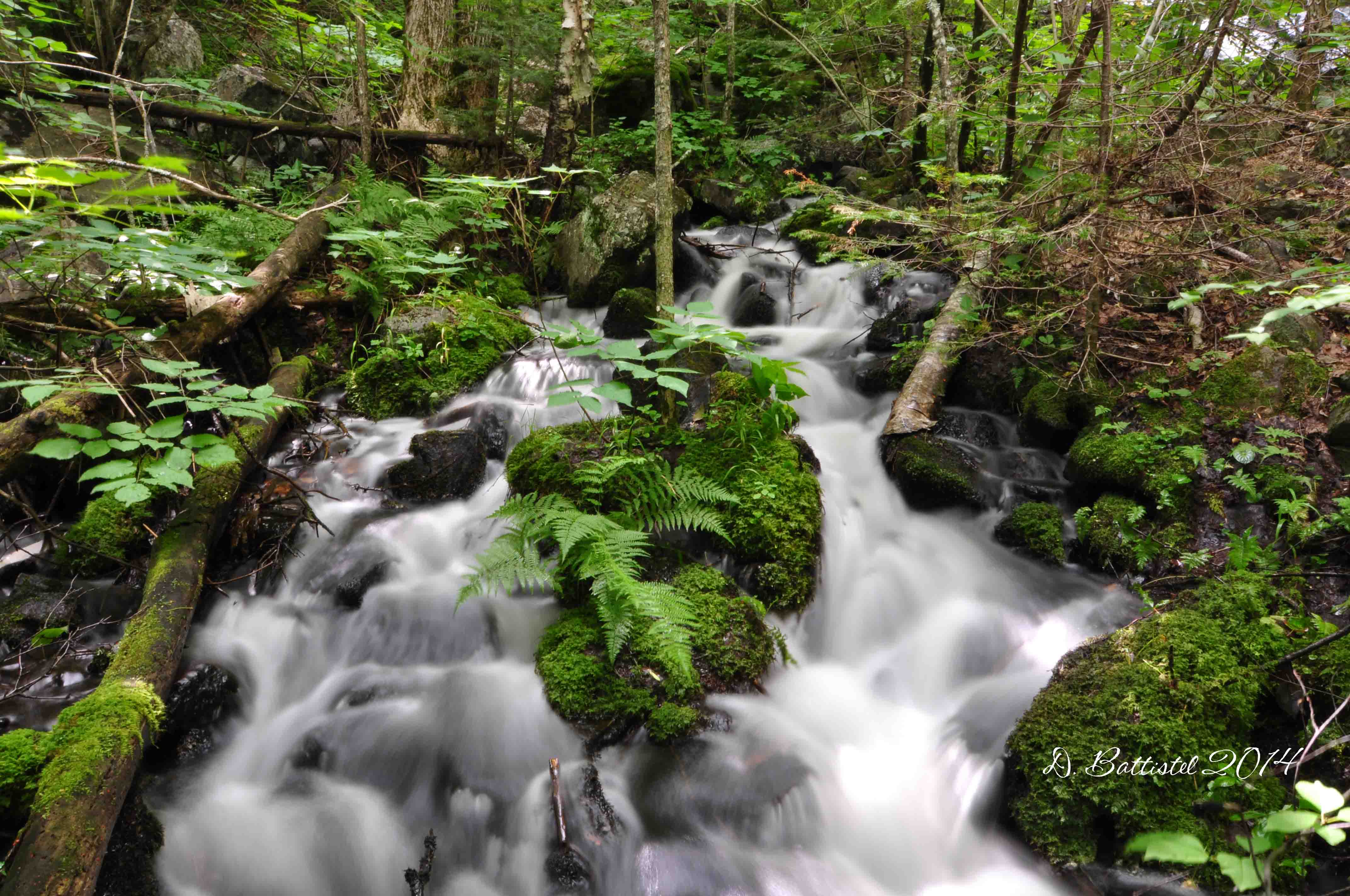
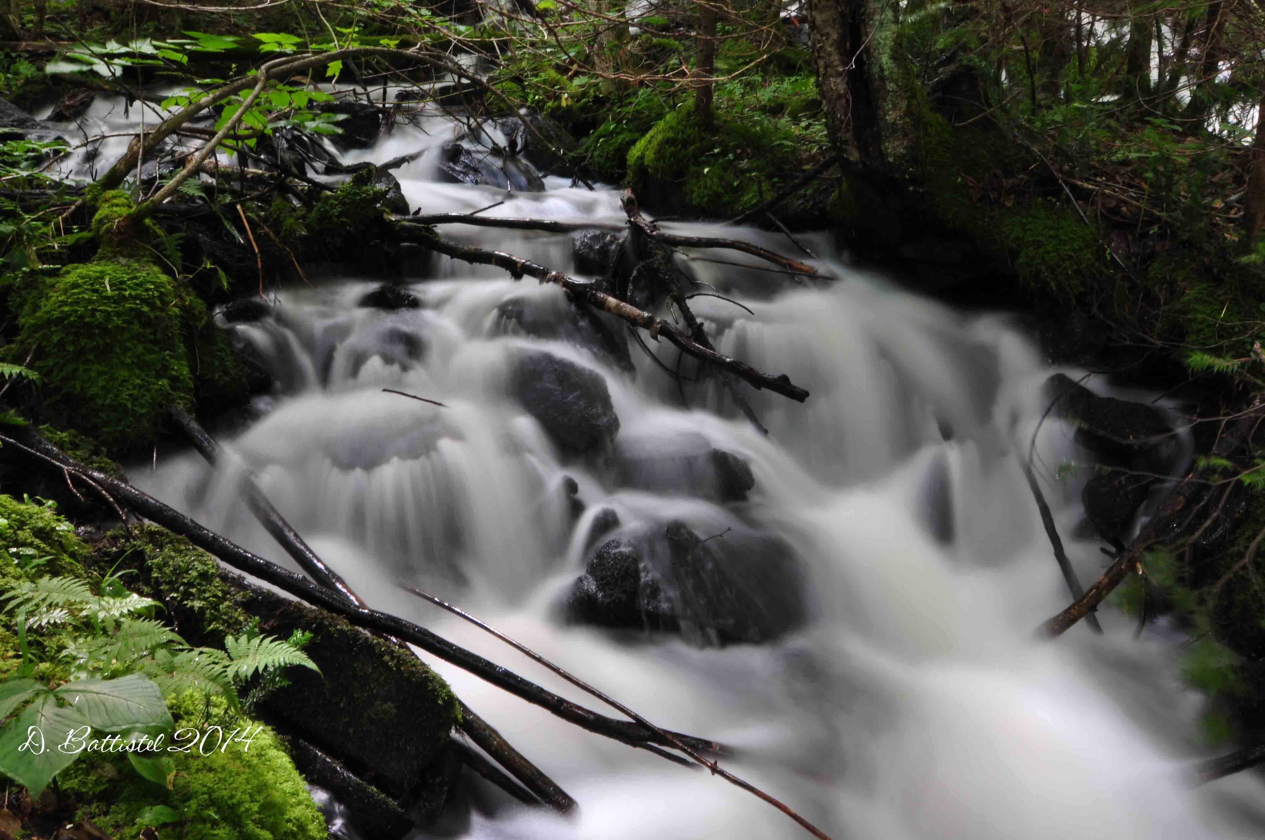
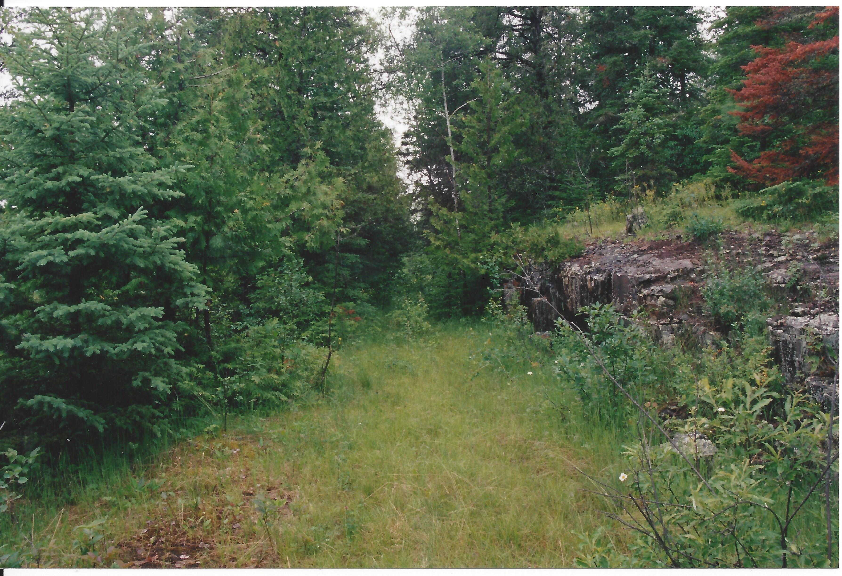
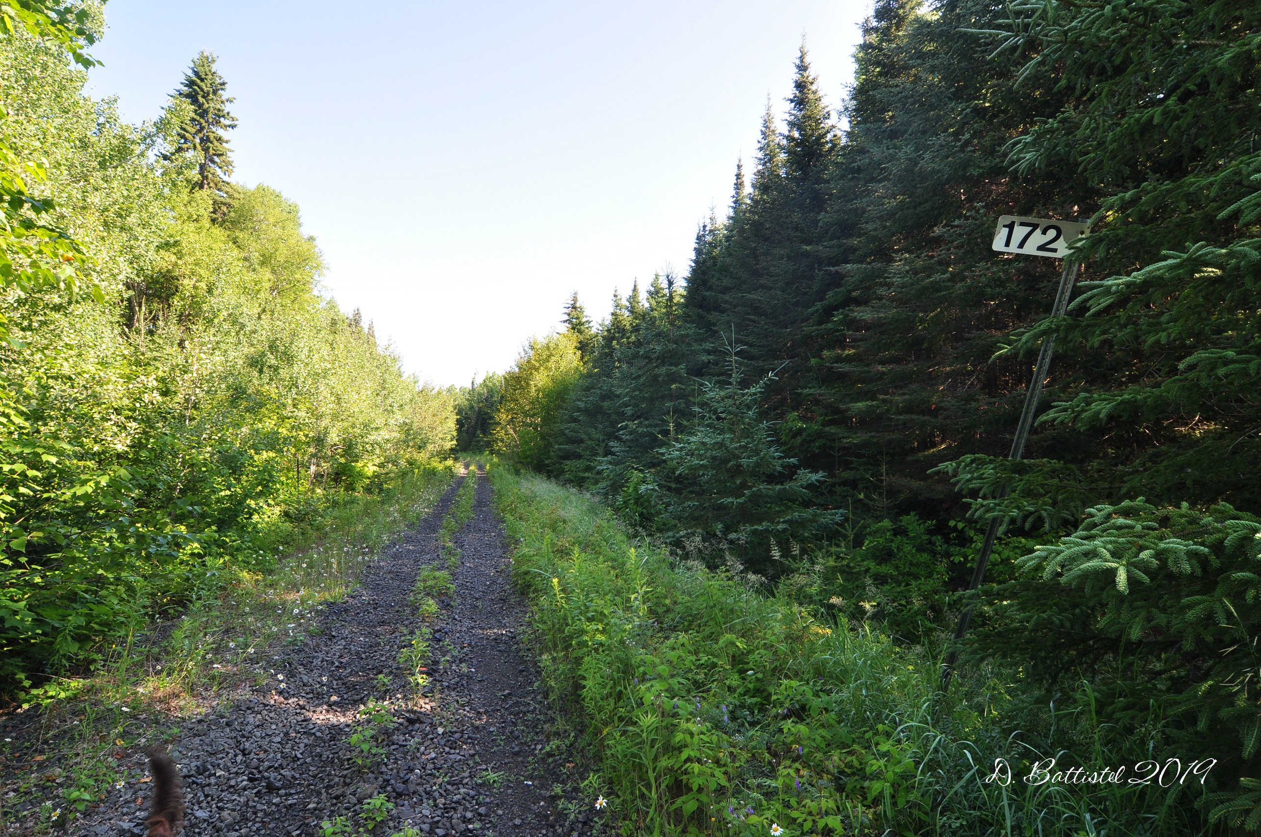
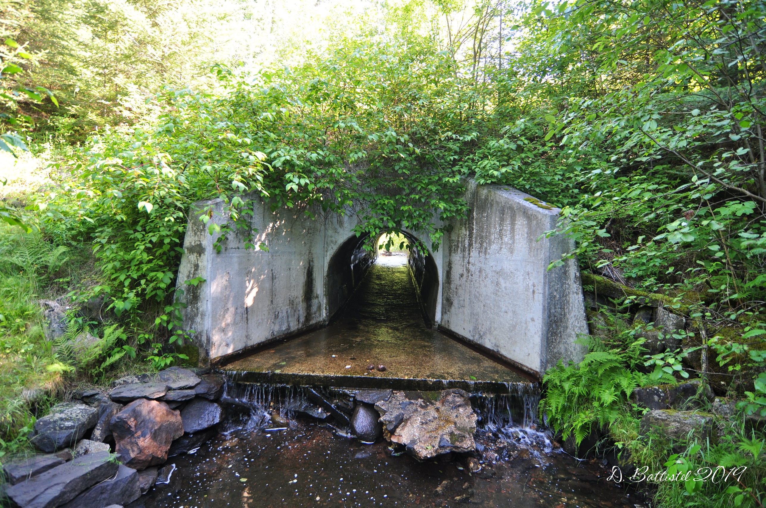
The only other quasi-railway news I can report is that I’ve taken up some hiking related to the PAD&W. Doing field work on the railway during the summer has become virtually impossible in recent years. The PAD&W was abandoned 81 years ago or more, and most sections of the former grade are so overgrown it is very difficult to navigate them, let alone try and find things in the bush. The only worthwhile times to attempt field work is in the spring and fall. So, the question becomes is what do during the summer months especially since camp is an hour in the wrong direction? The answer is simple…find another railway to hike!
Just south of camp is the former grade of the Canadian National Kinghorn Sub-division which once carried trains from Thunder Bay to Longlac, some 190 miles away. The line was built between 1912-1914 by Canadian Northern, the same company that bought the PAD&W back in 1899. This was one of the last sections of their transcontinental rail network, which unfortunately did not survive the financial impacts of WWI. Canadian Northern was merged with Grand Trunk to form Canadian National, and then this section became known as the CN-Dorion SD. It remained that way until 1960 when it was merged with the Kinghorn SD. CN abandoned this line in 2007 and removed most of the rails.
Anyway, parts of the grade are a stone-throw away from camp. Last year the boys and I rode our bikes along a section near Pass Lake, which is about a 15-minute drive to get to. It is easy to travel and very pretty with some rugged terrain and nice scenery. On that trip I took photos, but no video, though I vowed I’d explore sections in the future. So, fast-forward a year, and I decided it was time to do some exploring. The way I figure it is that some railway grade is better than no railway grade, and besides, it really gives you some good comparison data when you’re researching railways.
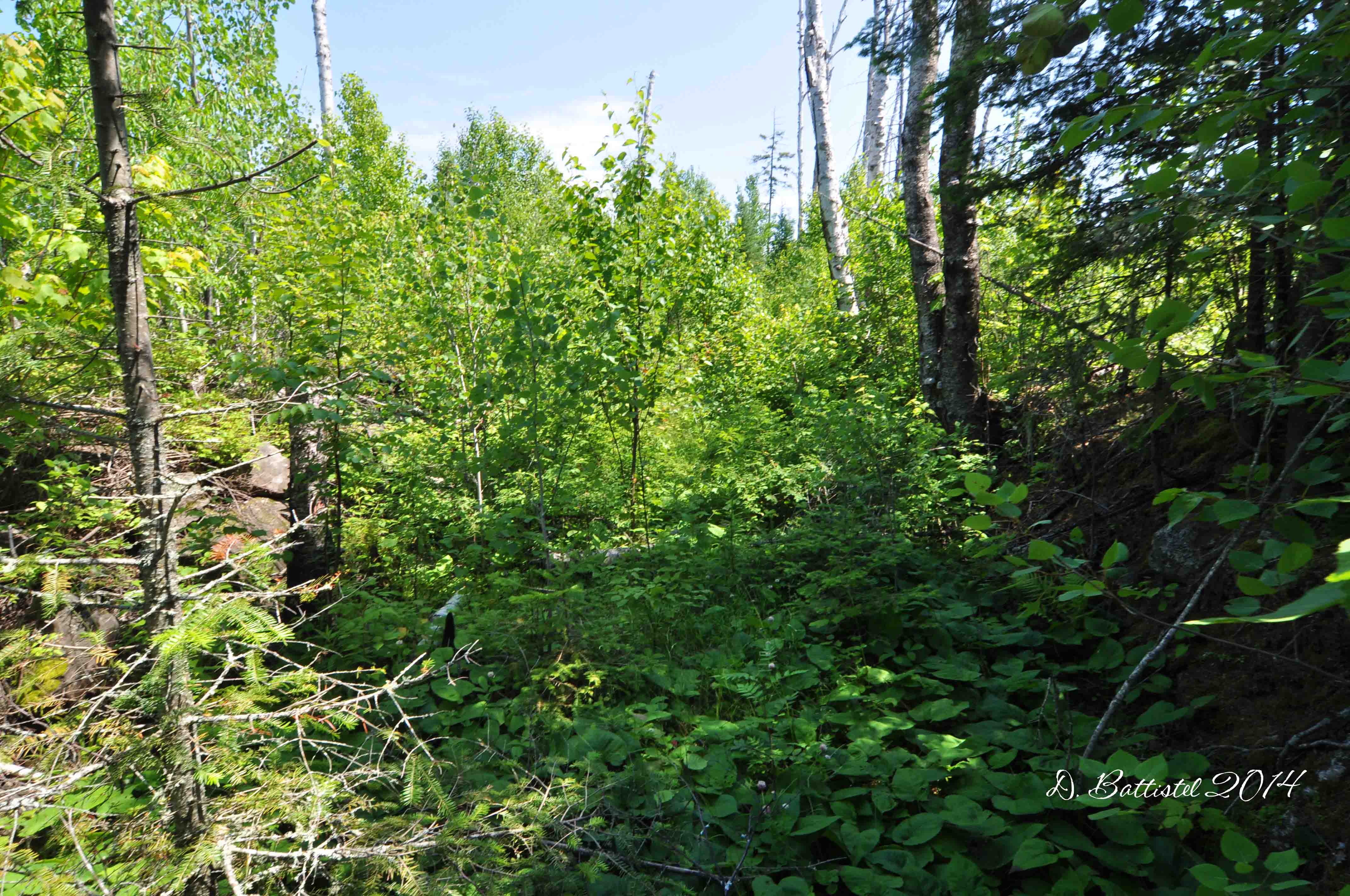
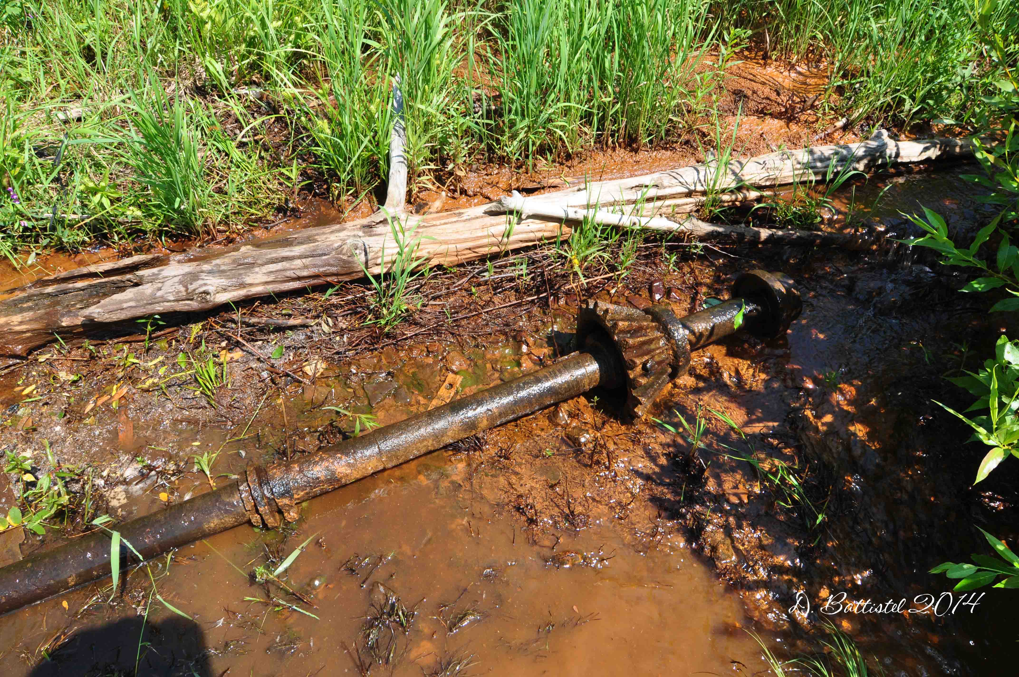
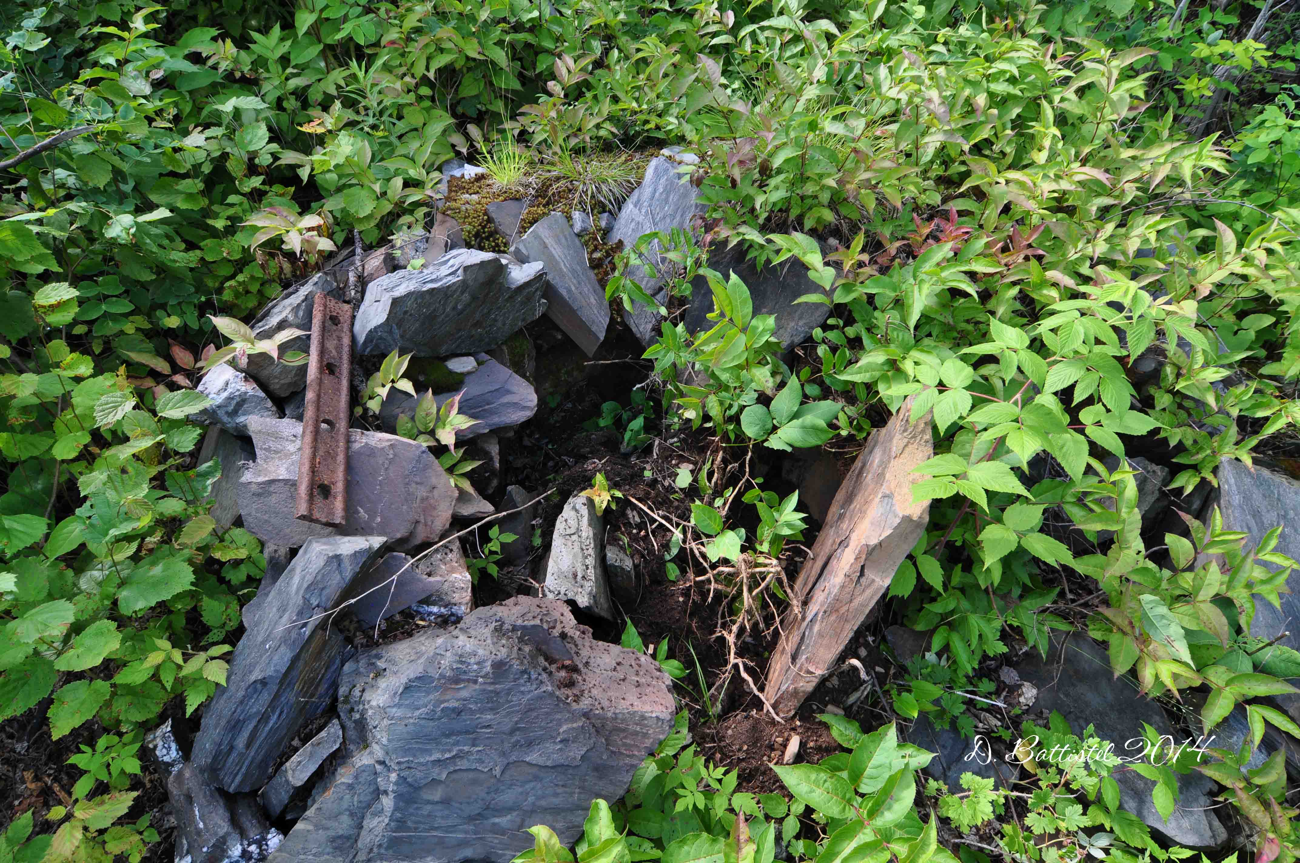
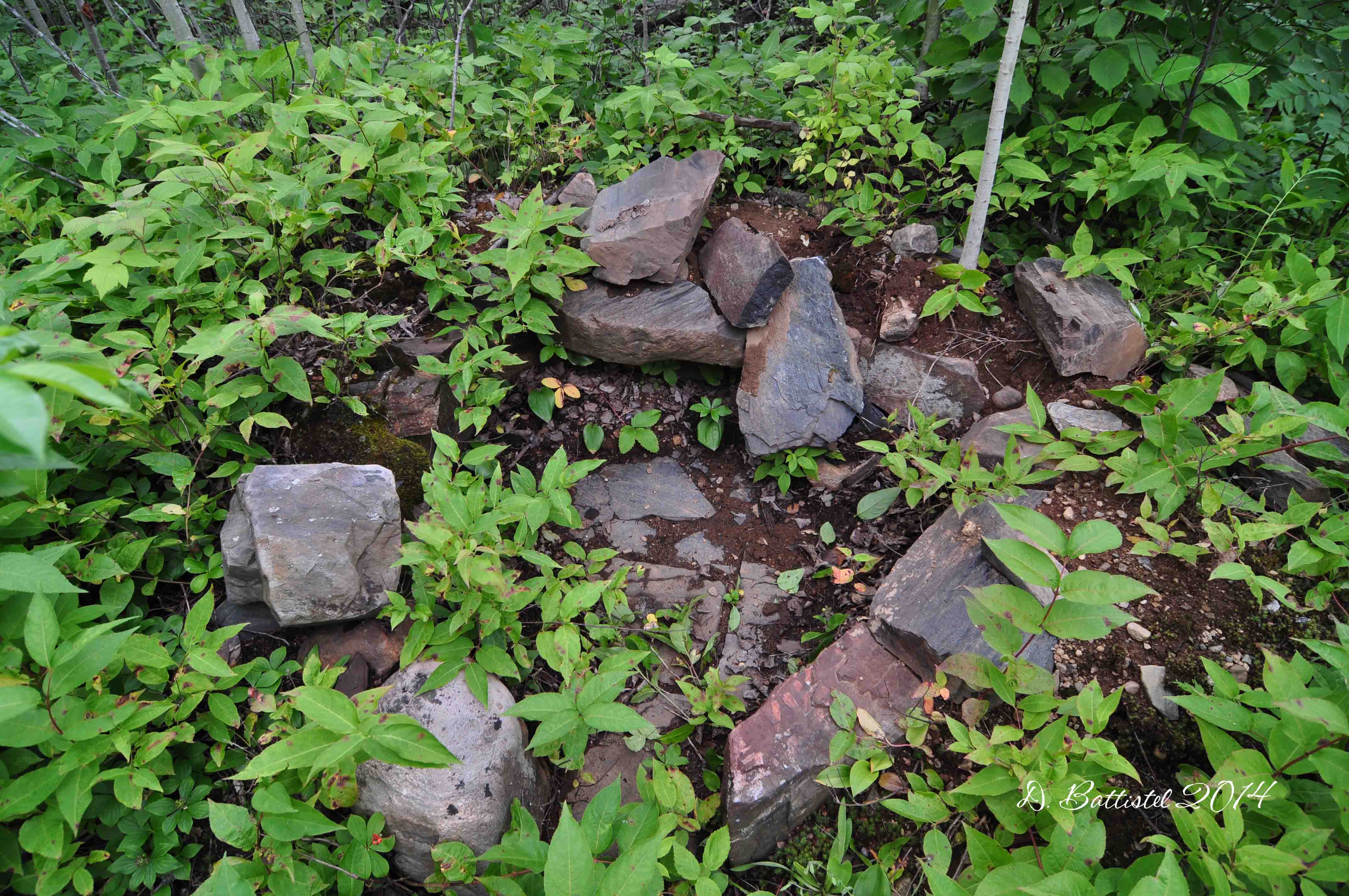
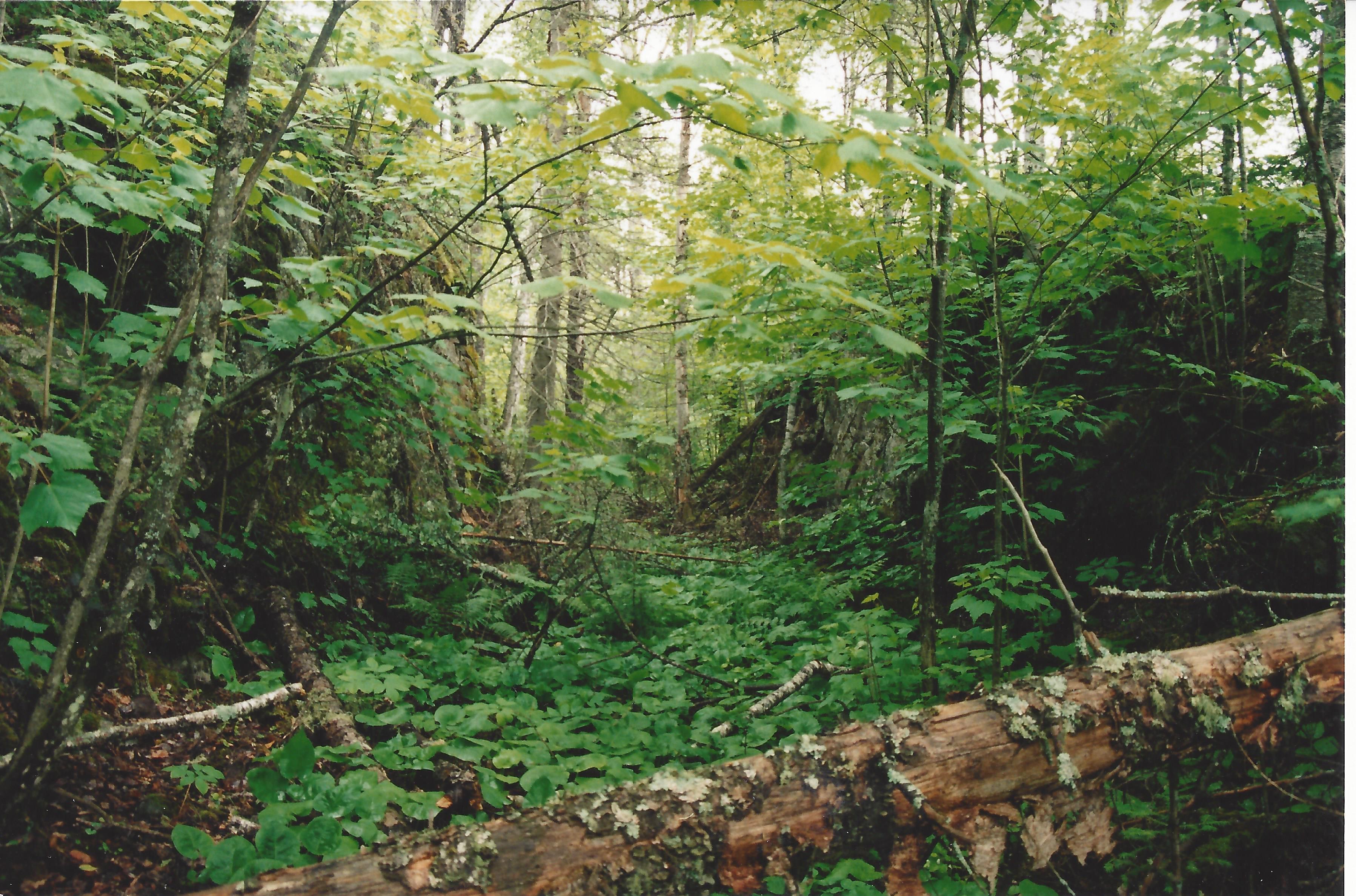
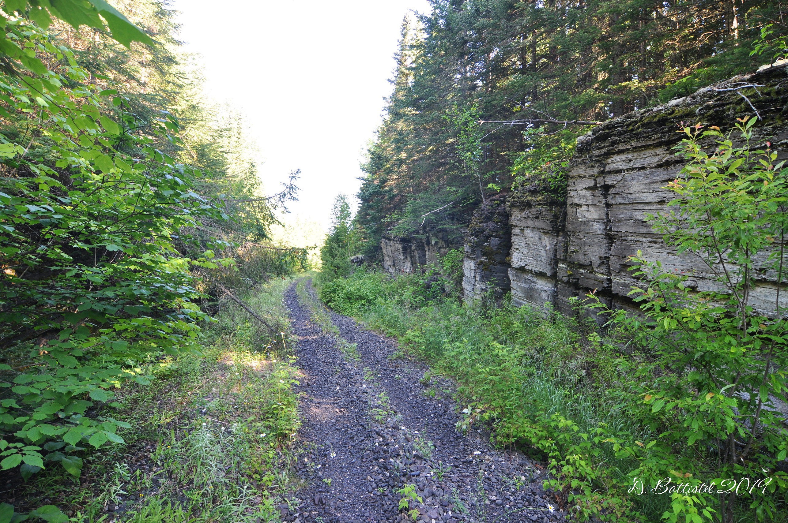
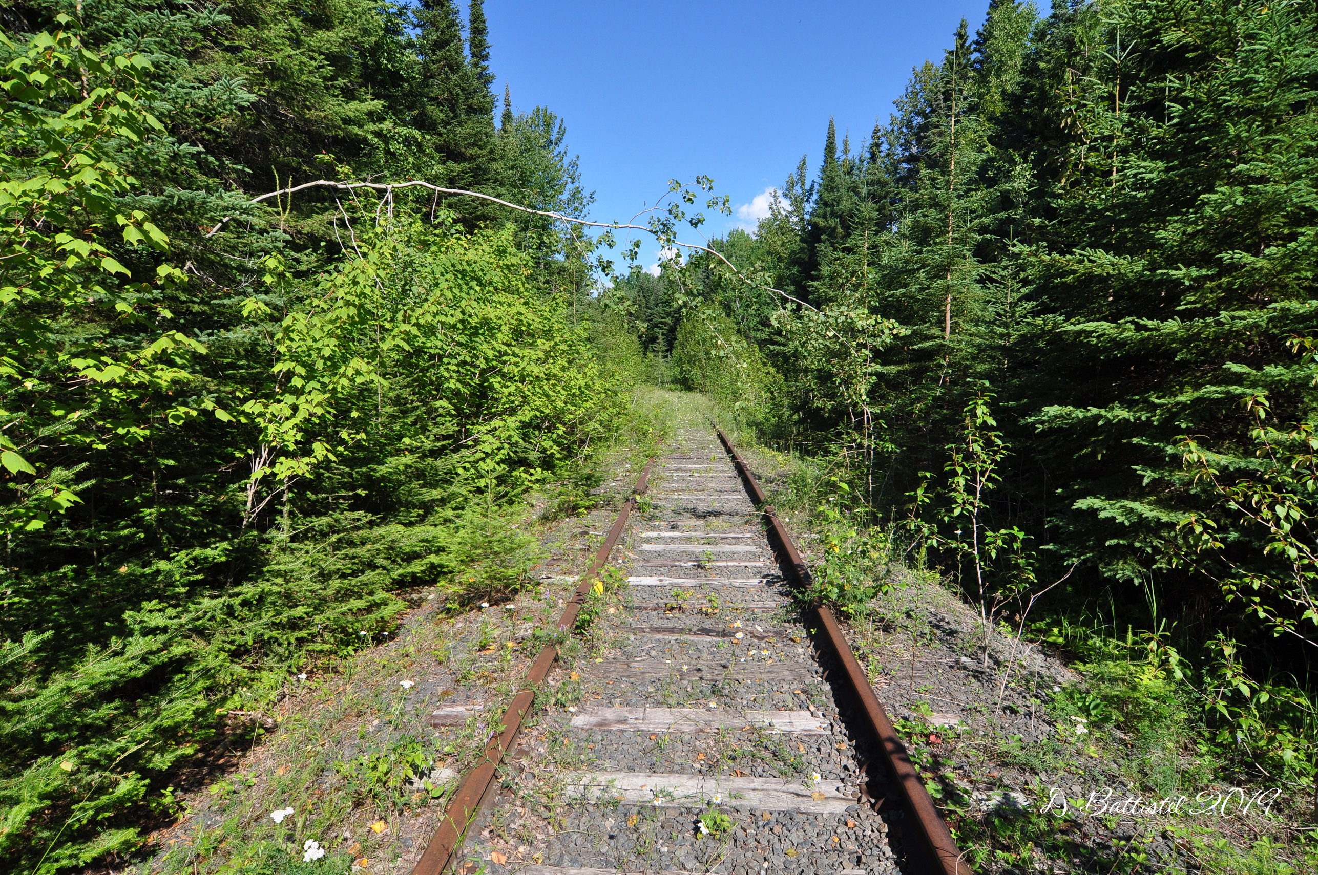
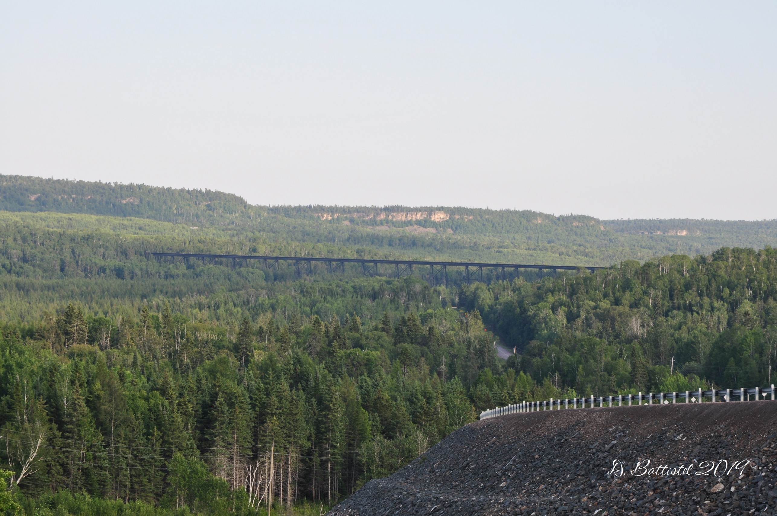
So far, I’ve done two hikes in the last couple of weeks, with hopefully a couple more planned. Our travels last year took us east of Pass Lake, so I concentrated on going in the other direction. The first hike was from Pass Lake to the site of a 2258-foot trestle that was built in 1912-1913, which is known as the Pass Lake Trestle (originally the Blende River Viaduct). I passed along some neat rock cuts on this 4km section, but what really surprised me was that there was over 700 metres of rail left in place east of and up to the trestle. It’s a really weird sensation walking along a grade that still has ties and rails and trying to figure out why they weren’t picked up (probably being lazy).

Kinghorn Sub-Division, July 2019.
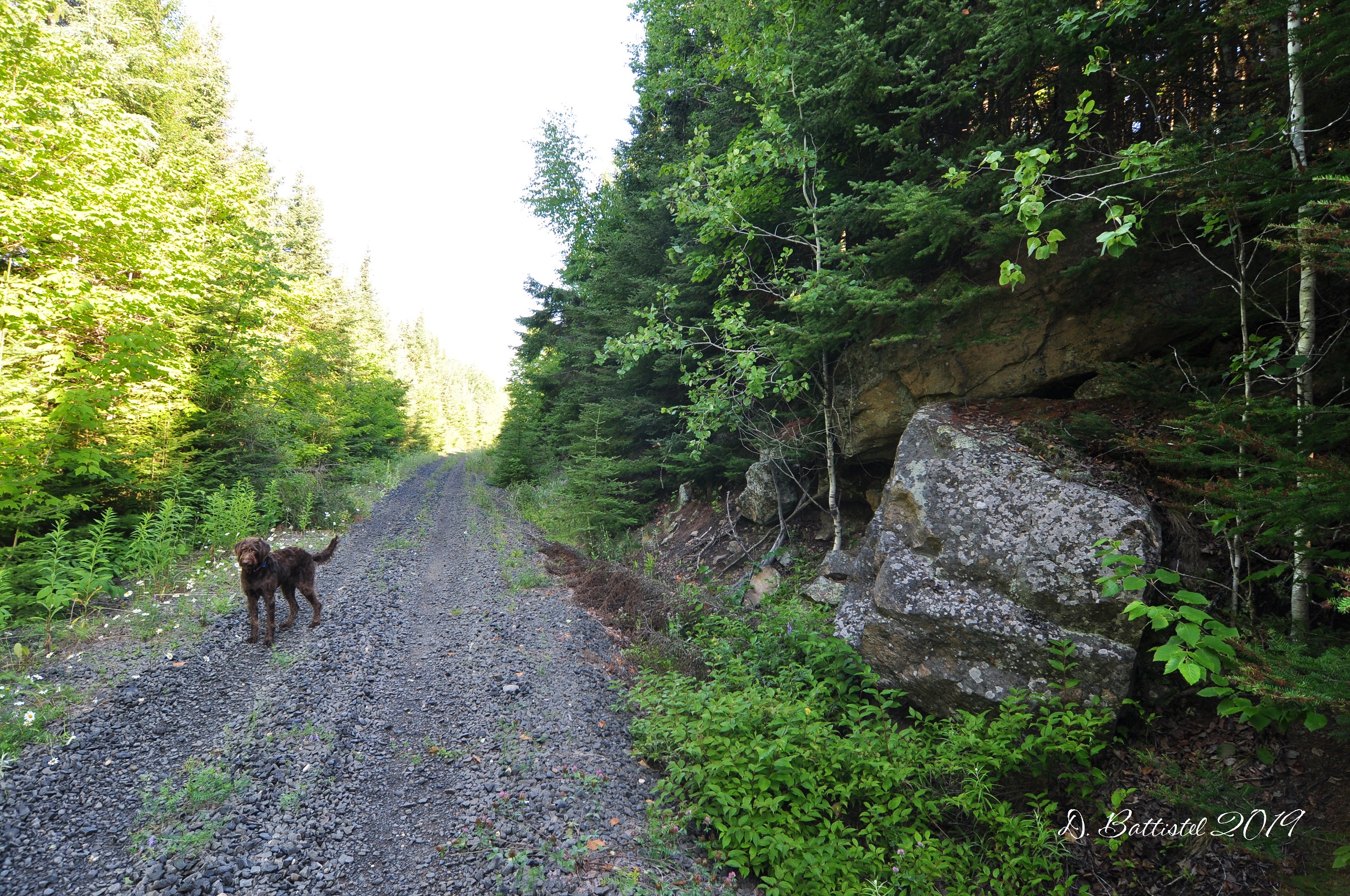
Kinghorn Sub-Division, July 2019.

Kinghorn Sub-Division, July 2019.
Kinghorn Sub-Division, July 2019.
Kinghorn Sub-Division, July 2019.
Kinghorn Sub-Division, July 2019.
Kinghorn Sub-Division, July 2019.
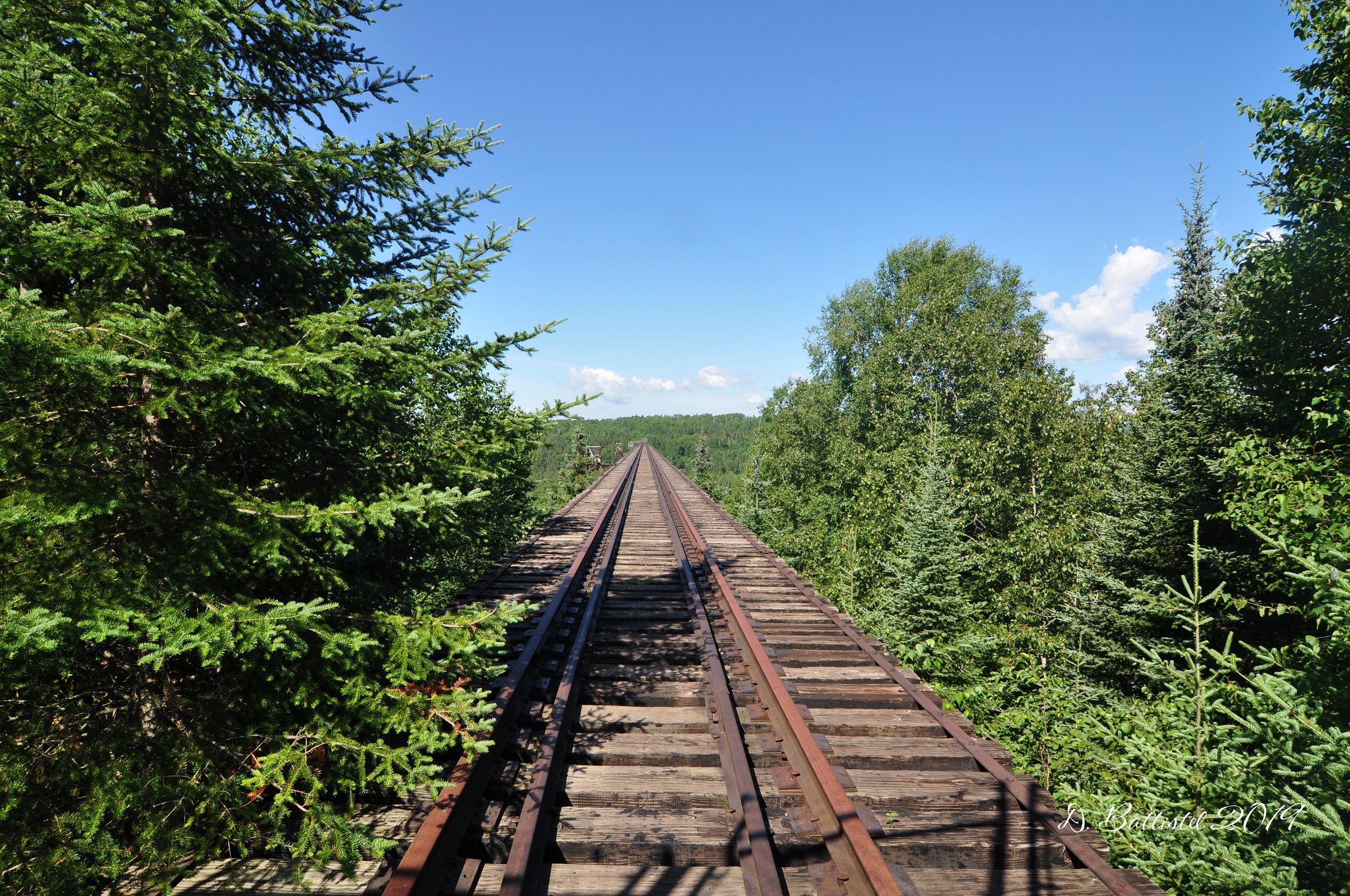
Pass Lake Trestle, Kinghorn Sub-Division, July 2019.
I just did the second hike a few days ago and walked from the trestle about 2.5km west. This section didn’t have the same amount of rock cuts but did have some lengthy embankments that probably took some work to construct. Made for a nice morning walk in any case!
Pass Lake Trestle, Kinghorn Sub-Division, August 2019.

Pass Lake Trestle, Kinghorn Sub-Division, August 2019.

Kinghorn Sub-Division, August 2019.
Anyway, I think it’s time to move along. I’ll likely be back before school starts up again to vent about vacation ending and having to go back to work. Until then…