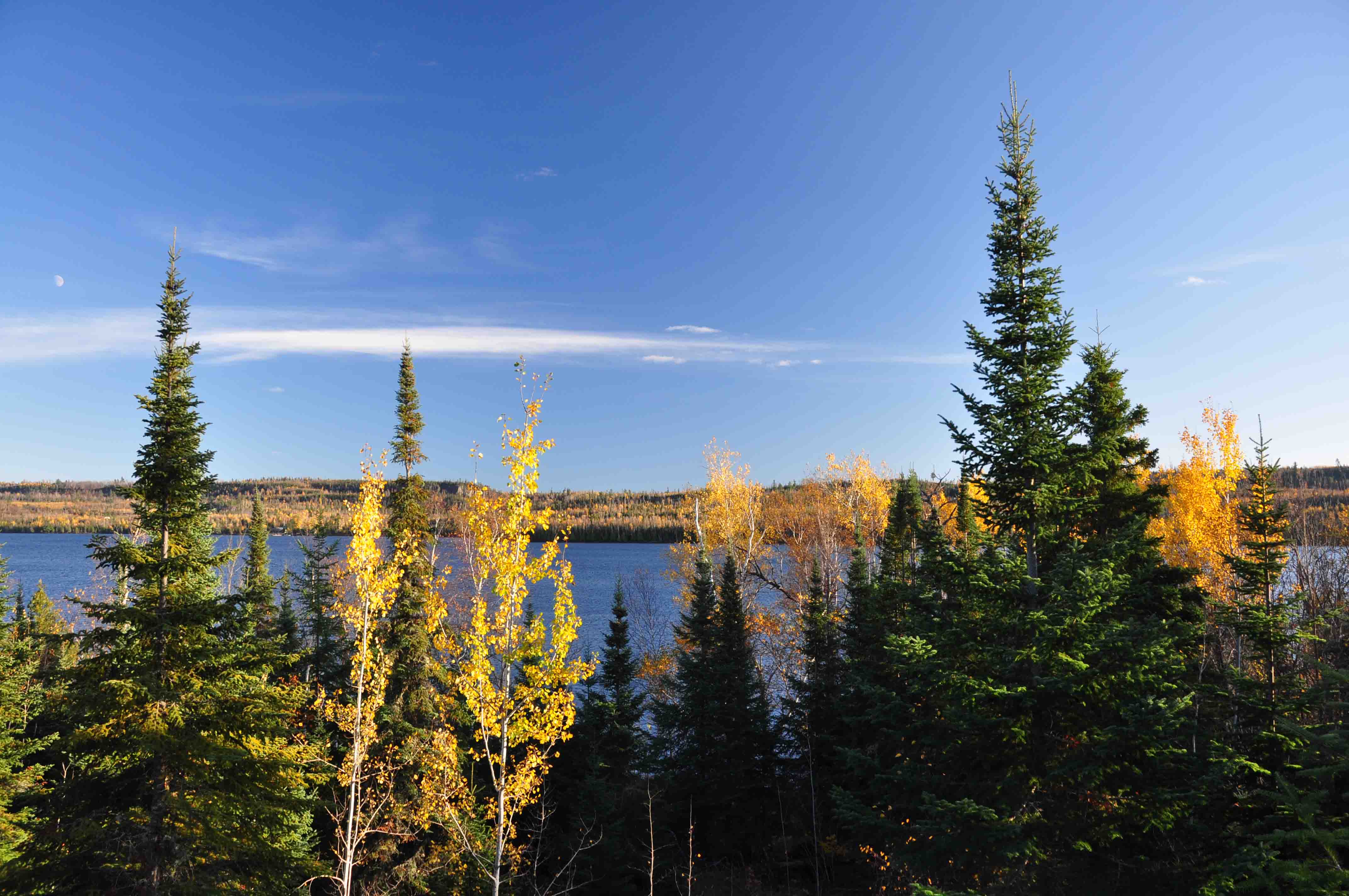
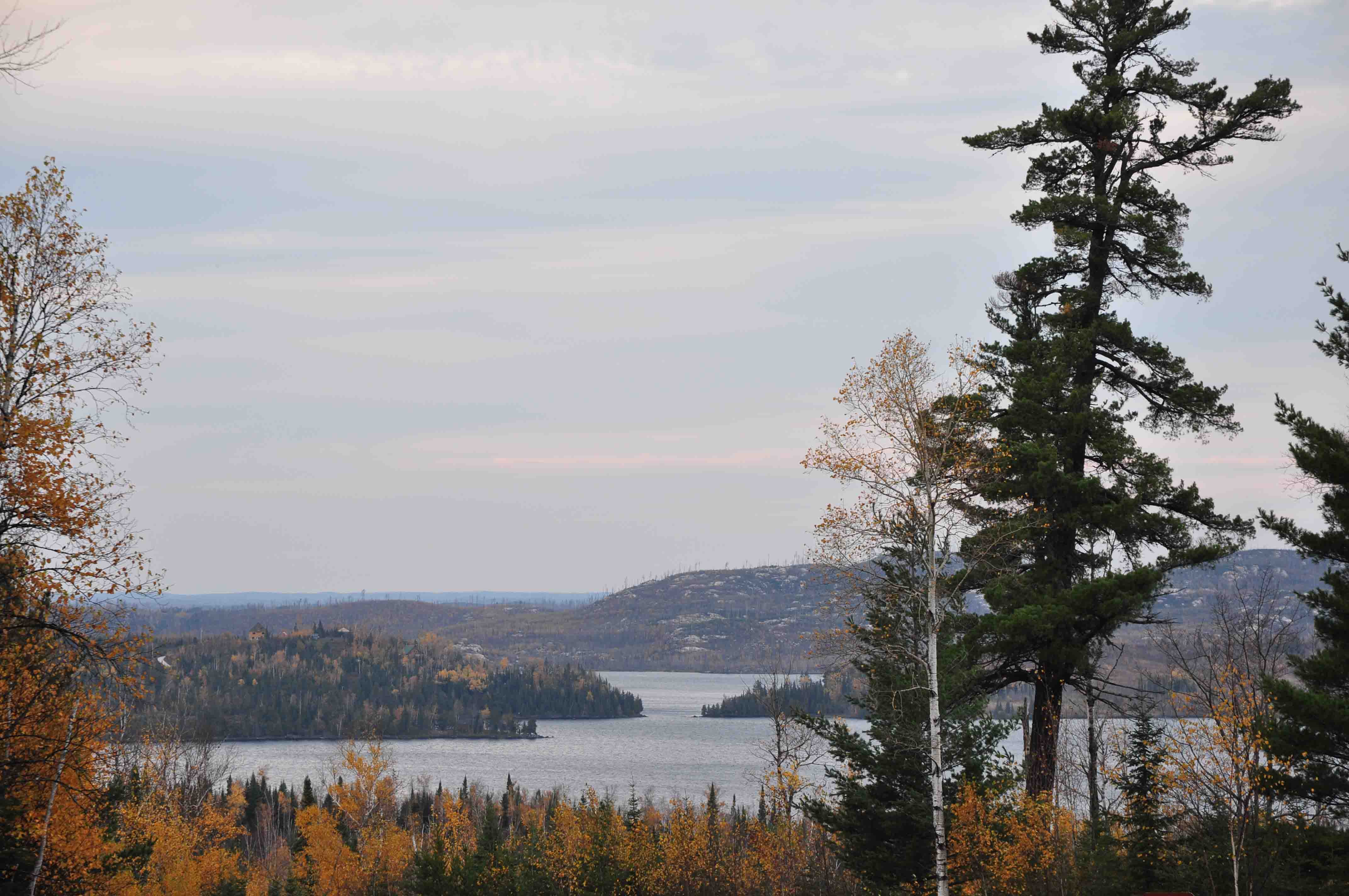
I think I’ve mentioned on many occasions that I love the Boundary Waters between Canada and the US; North and Gunflint Lakes are my favourite places in all of this area. It is probably the combination of remoteness, beauty and history that draw me to it and continues to do so. I’ve already been there a lot this year and I wish I could be there even more. If you’ve ever been there you’ll know what I’m referring to…it’s all in the view!

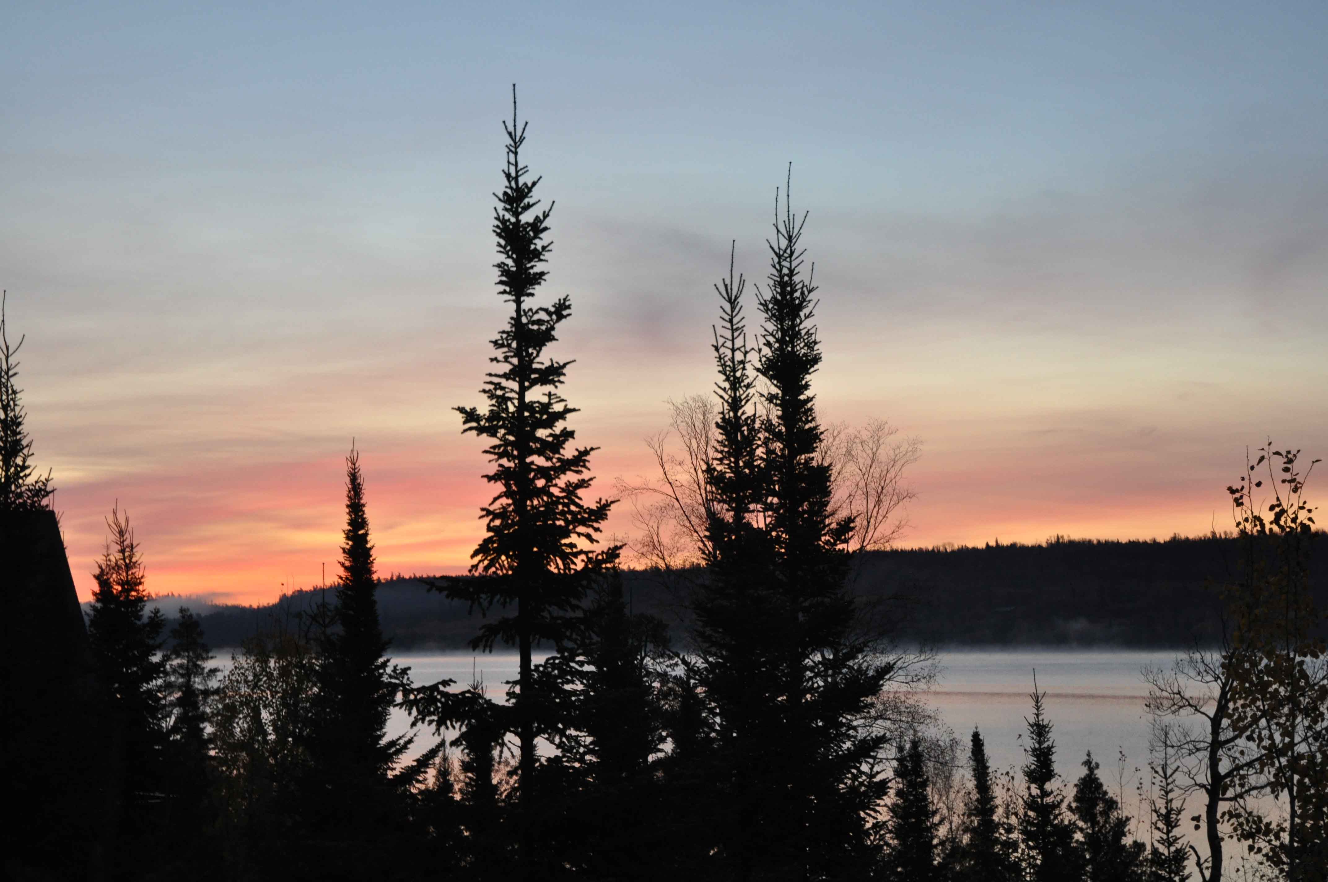
Sunrise, Gunflint Lake, July 2014.
So it is hard to believe that my vacation is already half over…where did the time go? I can answer my own question very easily though. I have not been home very much; this past week is my longest stretch I’ve been at home since school ended. Unfortunately the weather this year has not been very cooperative, with quite a bit of rain and crazy temperature swings. Hopefully things steady up for August.
So last week was a busy week for me on the railway front as I had a number of events on the go. Things got rolling on Sunday the 20th when I travelled down to Gunflint and the Chik-Wauk Museum for a presentation on the Paulson Mine and the railway. There was a good turnout on the front porch of the museum and the audience was very interested in the history of both enterprises; there were a lot of questions afterwards. This was my second appearance at Chik-Wauk and I decided this time around to place my focus more on the mine as opposed to the railway. You can watch the presentation online here.
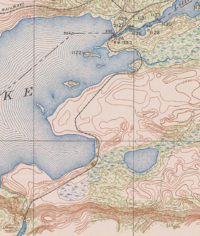
My trip to down Gunflint had a dual purpose, the second of which was to do a bit of field exploration on a little project that I am working on. I mentioned in my last post that I am planning to write an article on the Gunflint and Lake Superior Railroad, which was a little logging line that branched off the PAD&W at Little Gunflint Lake and travelled several miles into Minnesota. The last time I had done any extensive exploration of the G&LS was way back in 1997.
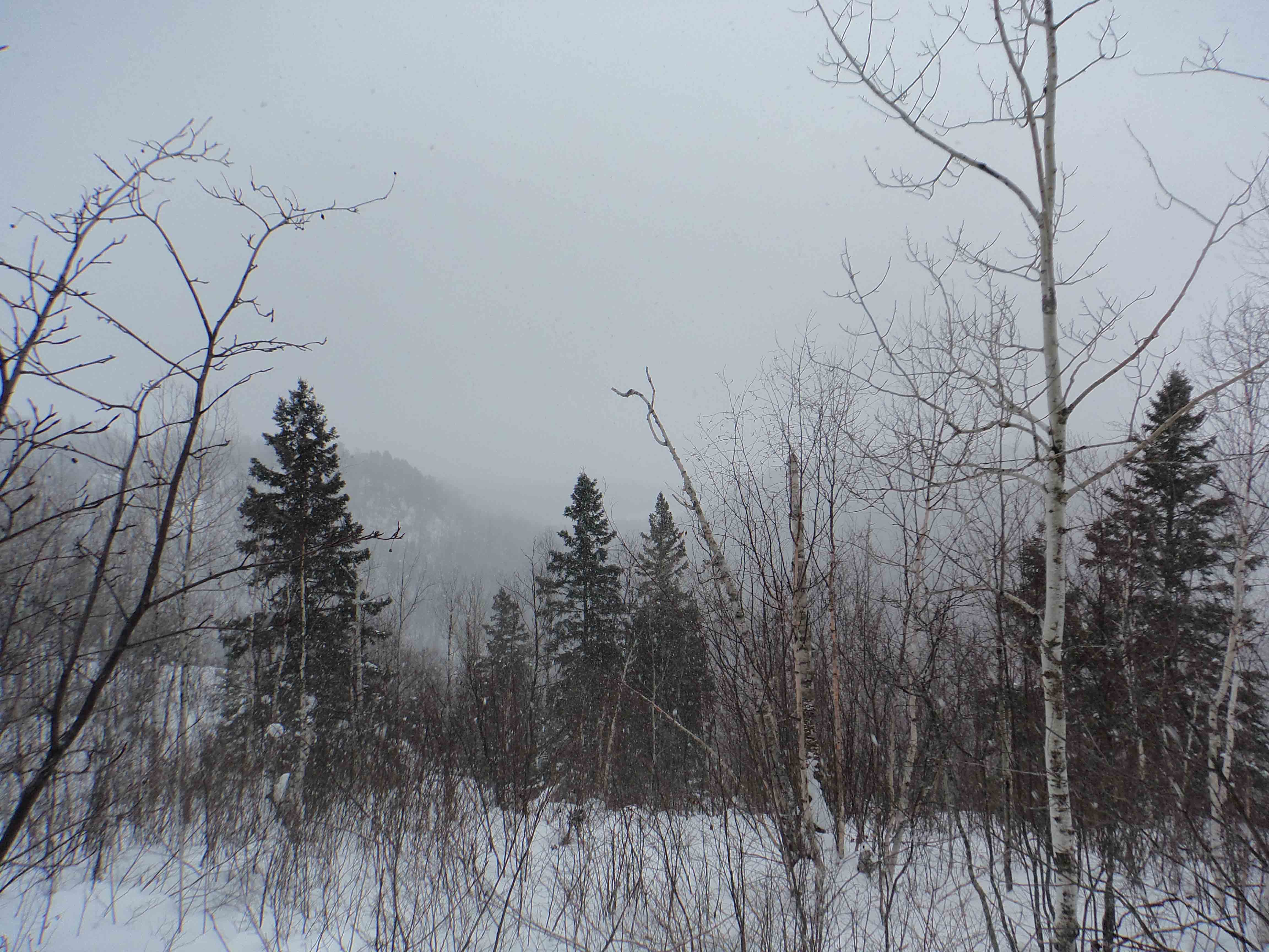
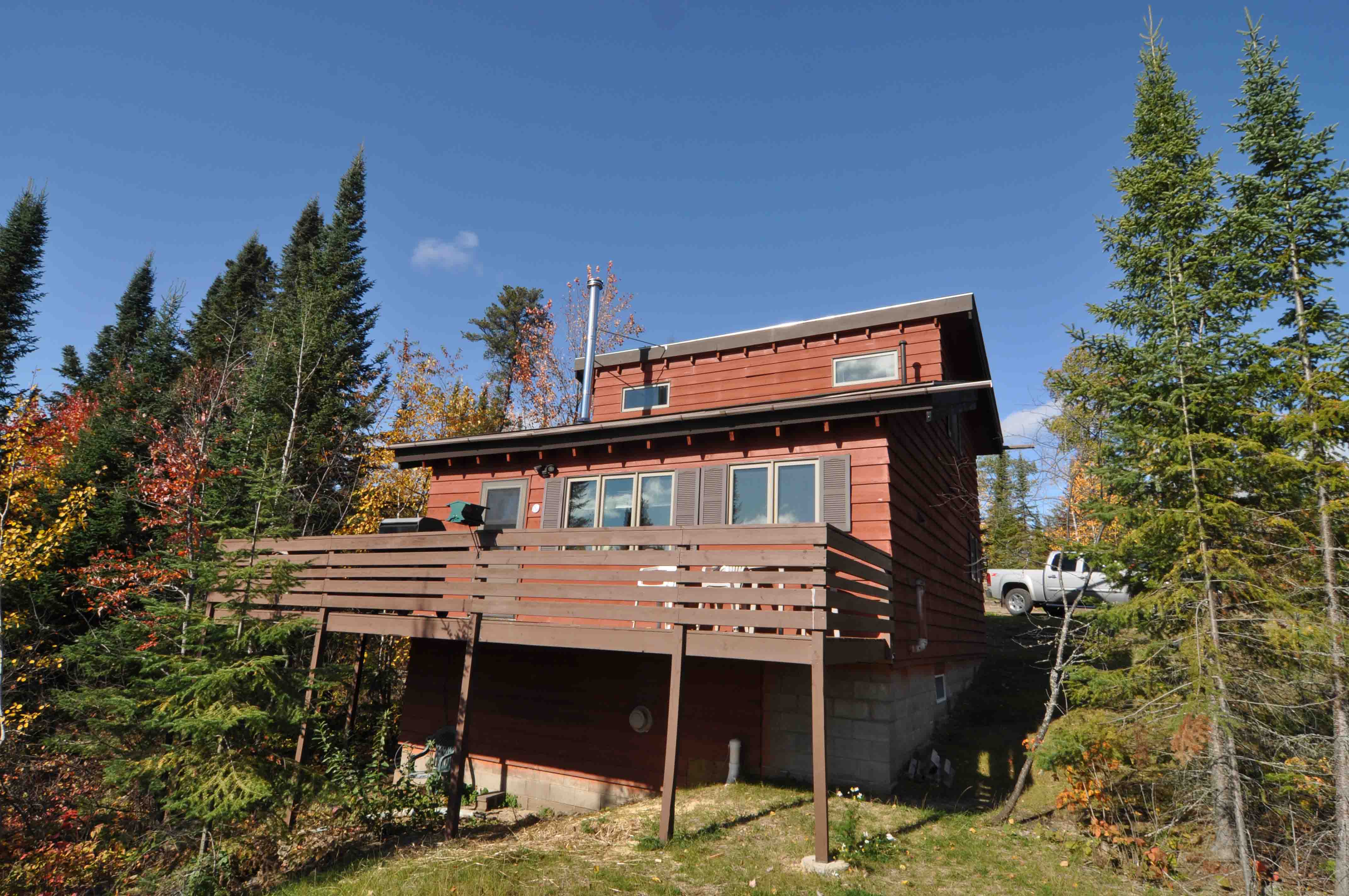
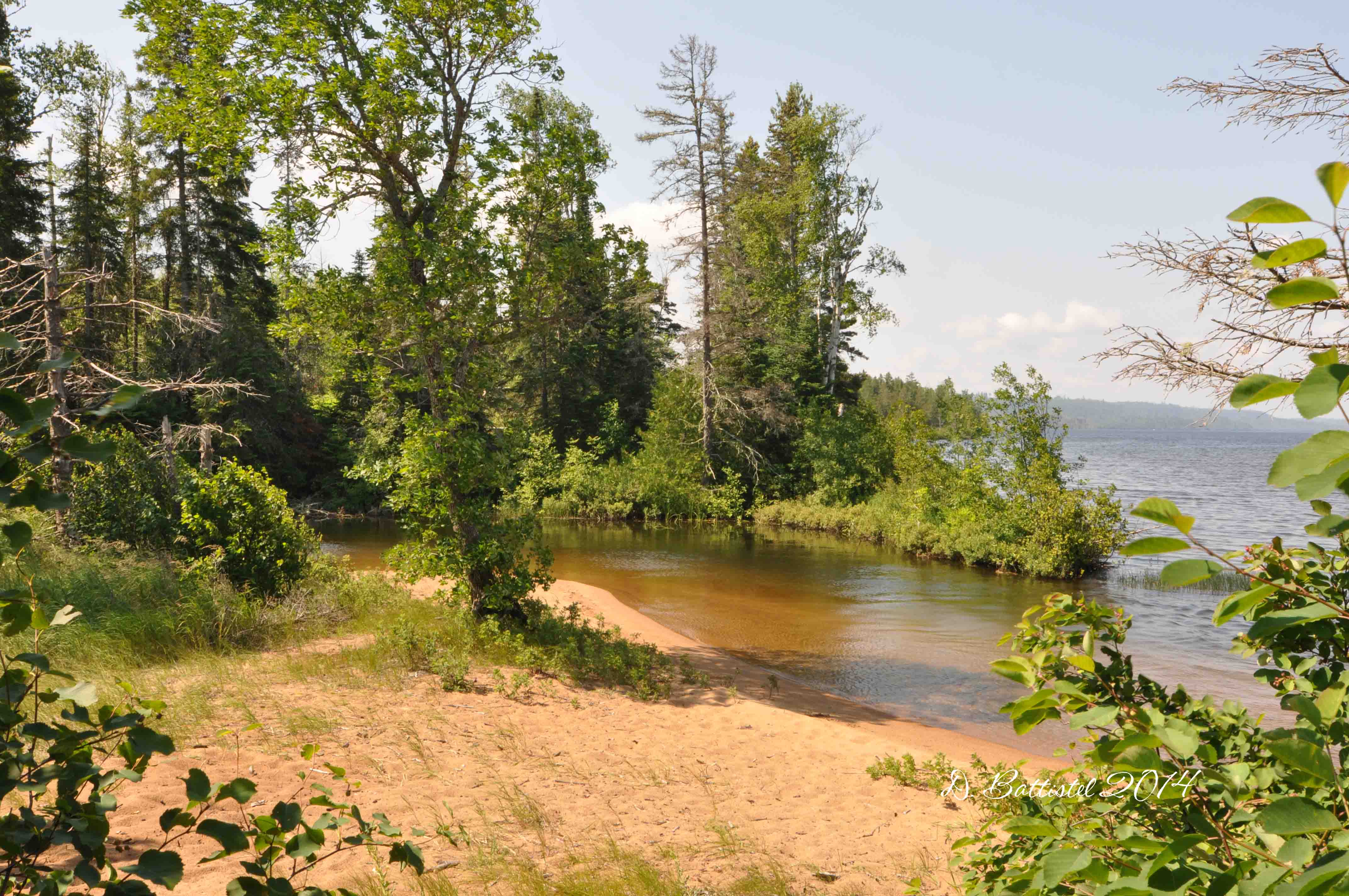
I was up very early on Monday the 21st as I wanted to get going before things got too hot. The temperatures were supposed to be close to 30C in the afternoon. My other big concern of the day was the wind; Gunflint Lake is over 11km long, very narrow and situated in a valley. When the wind picks up, especially from the west, the water gets very angry. My ride from the Cross River Lodge was slowed by the waves, which were already up at that time, but by 9:30 I was on the beach at the eastern end of the lake.
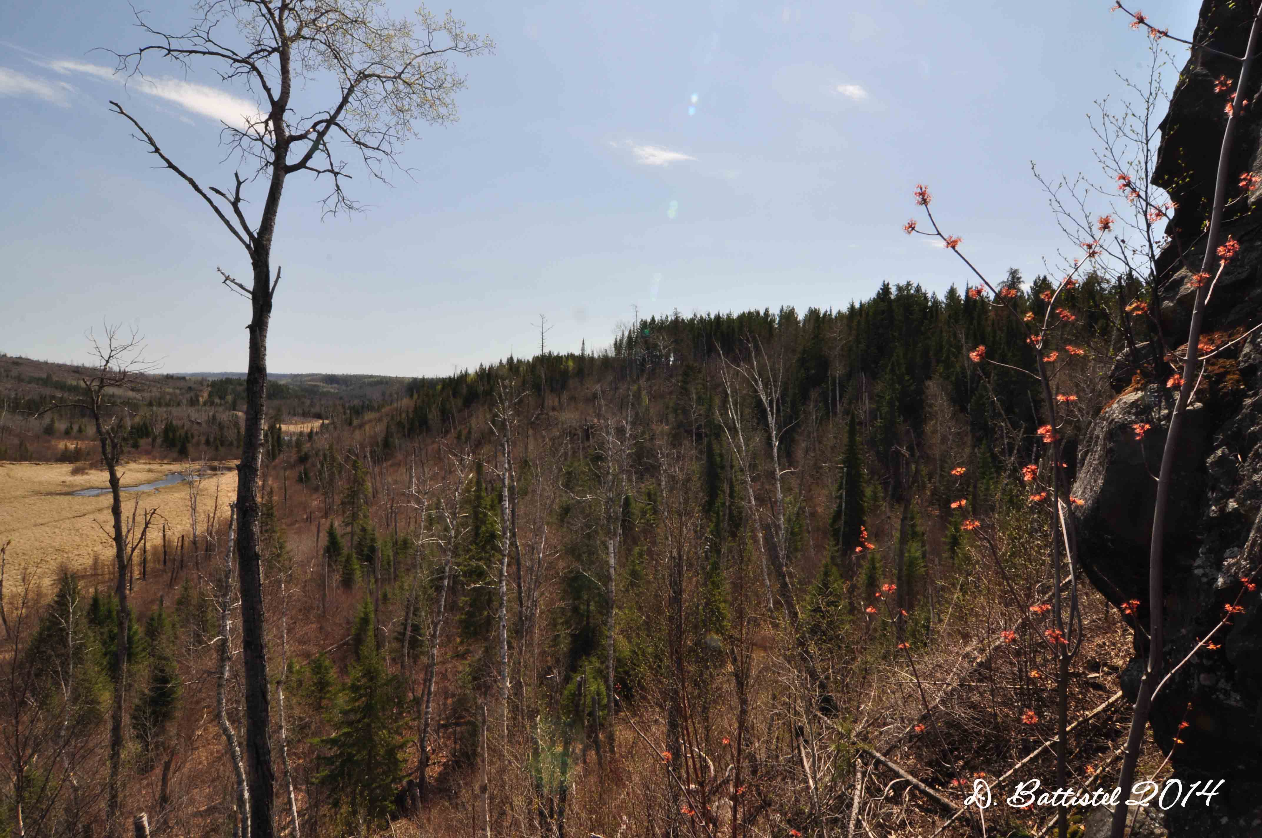
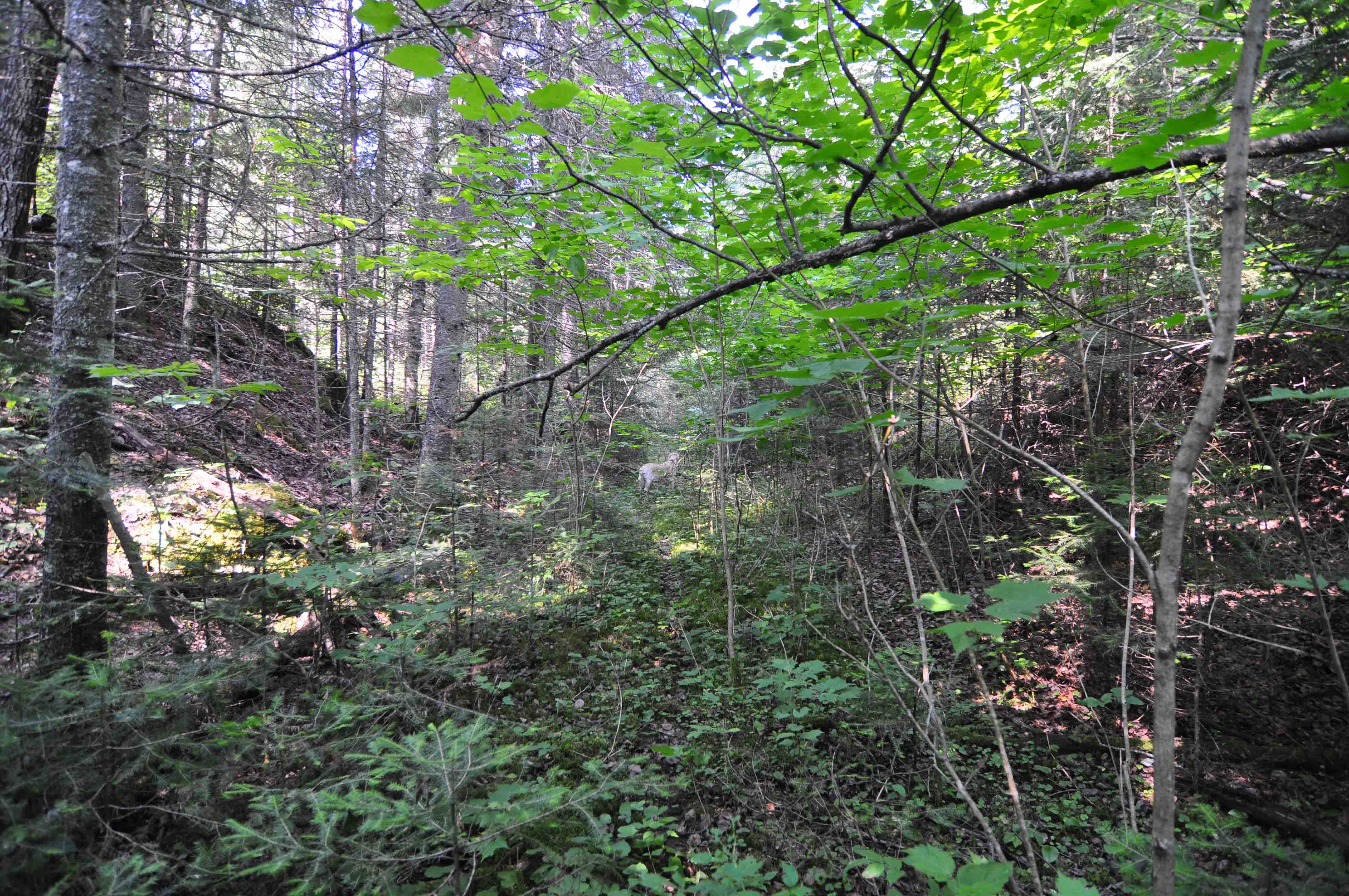
The first part of the day would involve following the G&LS grade north-east to where it intersected the PAD&W. I was last in this location in July 2011 and in addition to the timing, the weather was eerily similar. That time I walked 13km from Trestle Bay to the same sandy beach in some killer heat…I’m pretty sure I had heat exhaustion. Before the day was over, I would find myself in a similar situation.
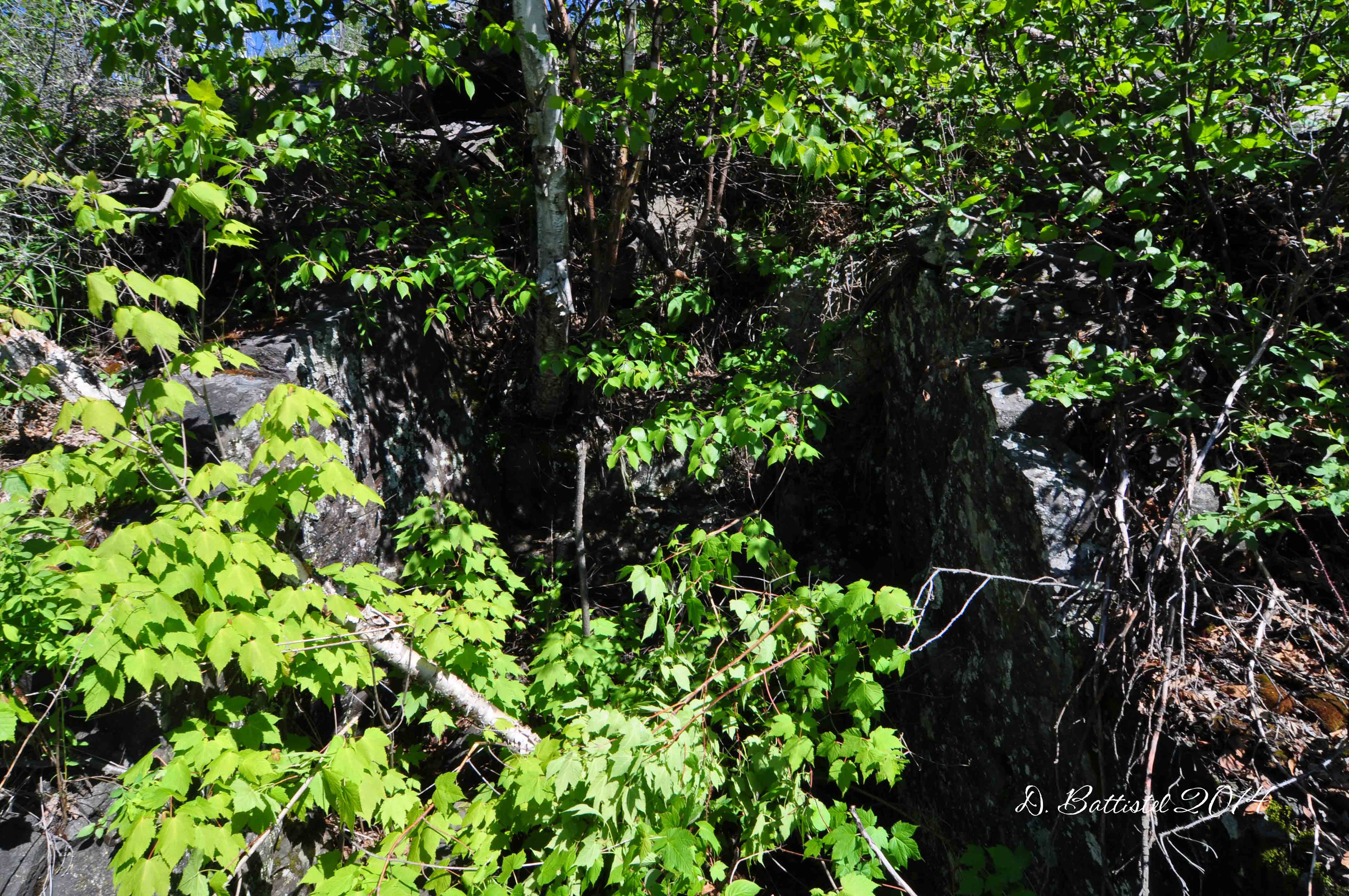
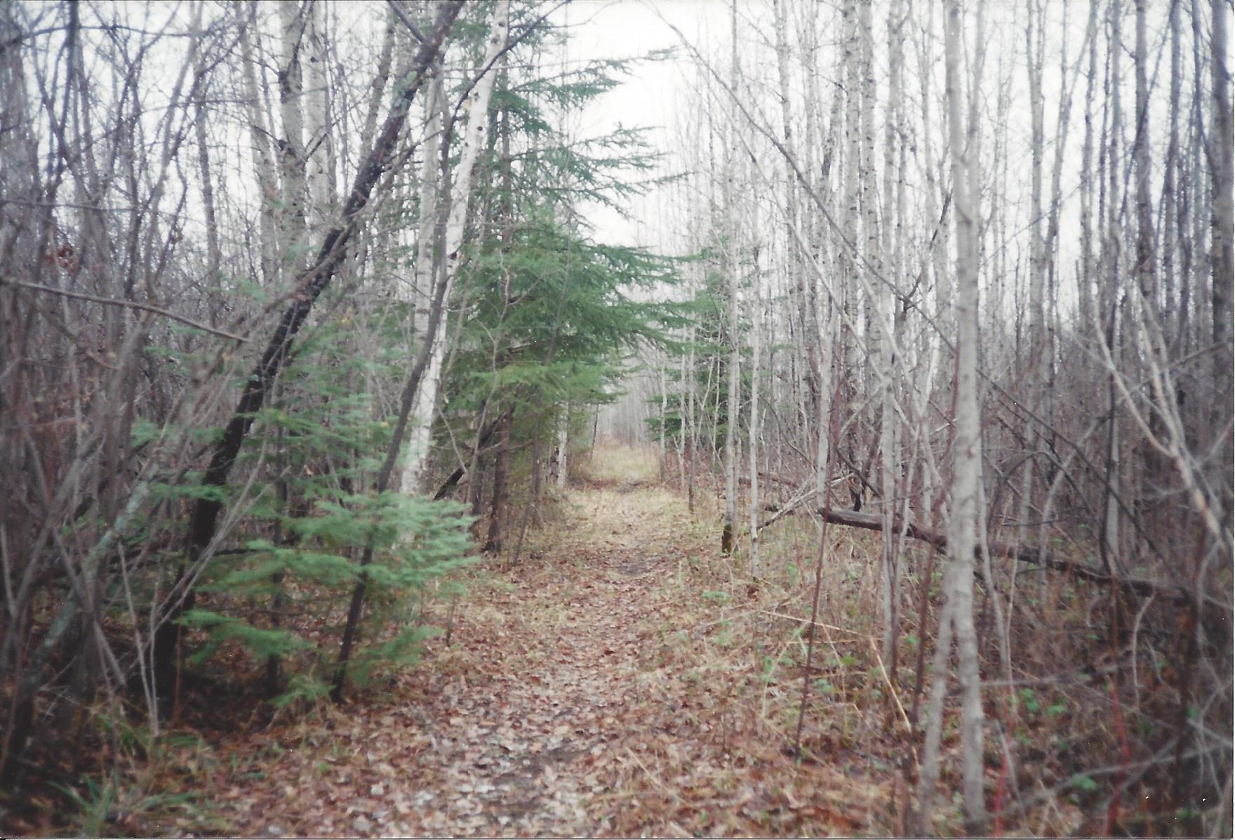
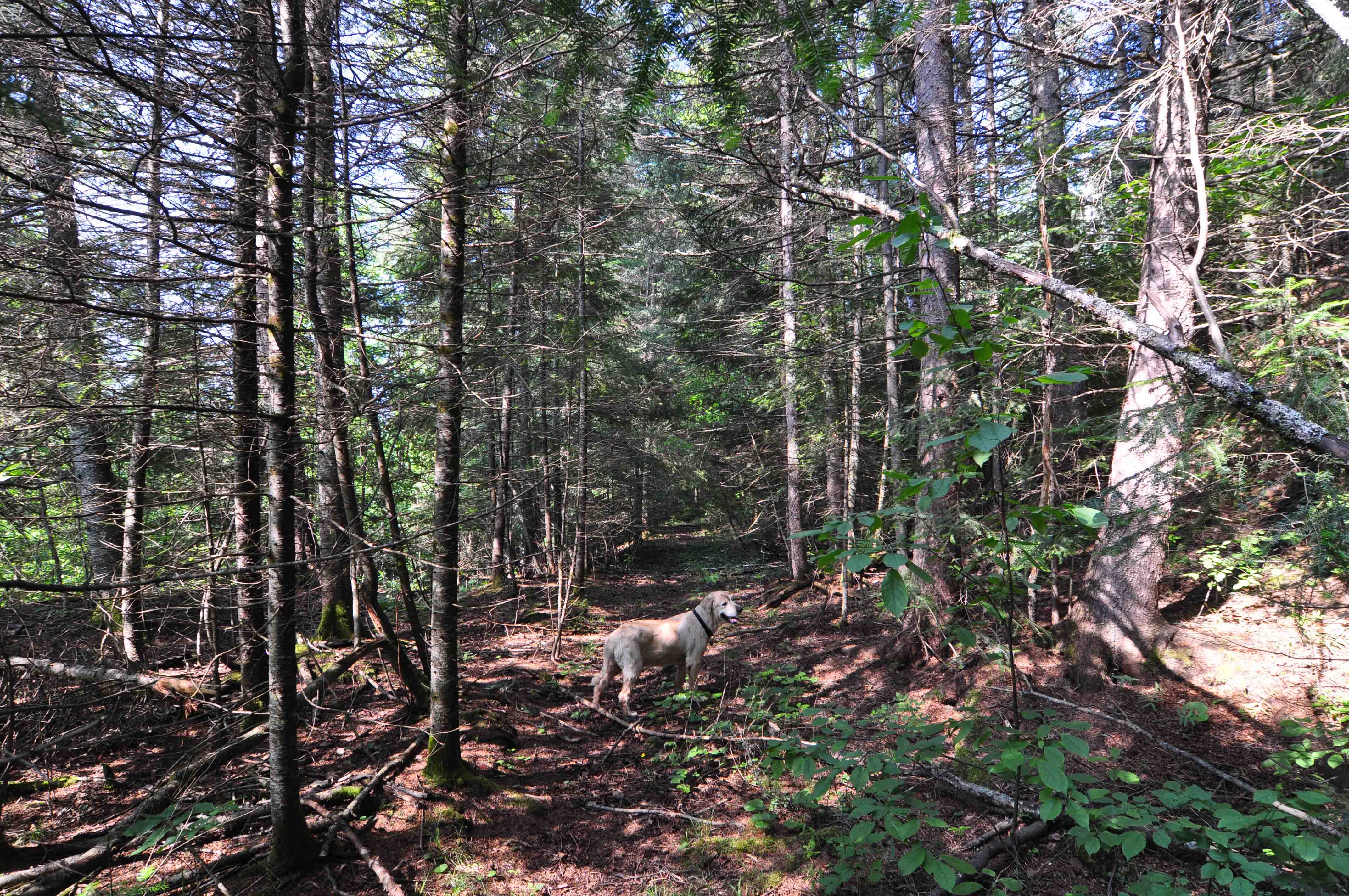
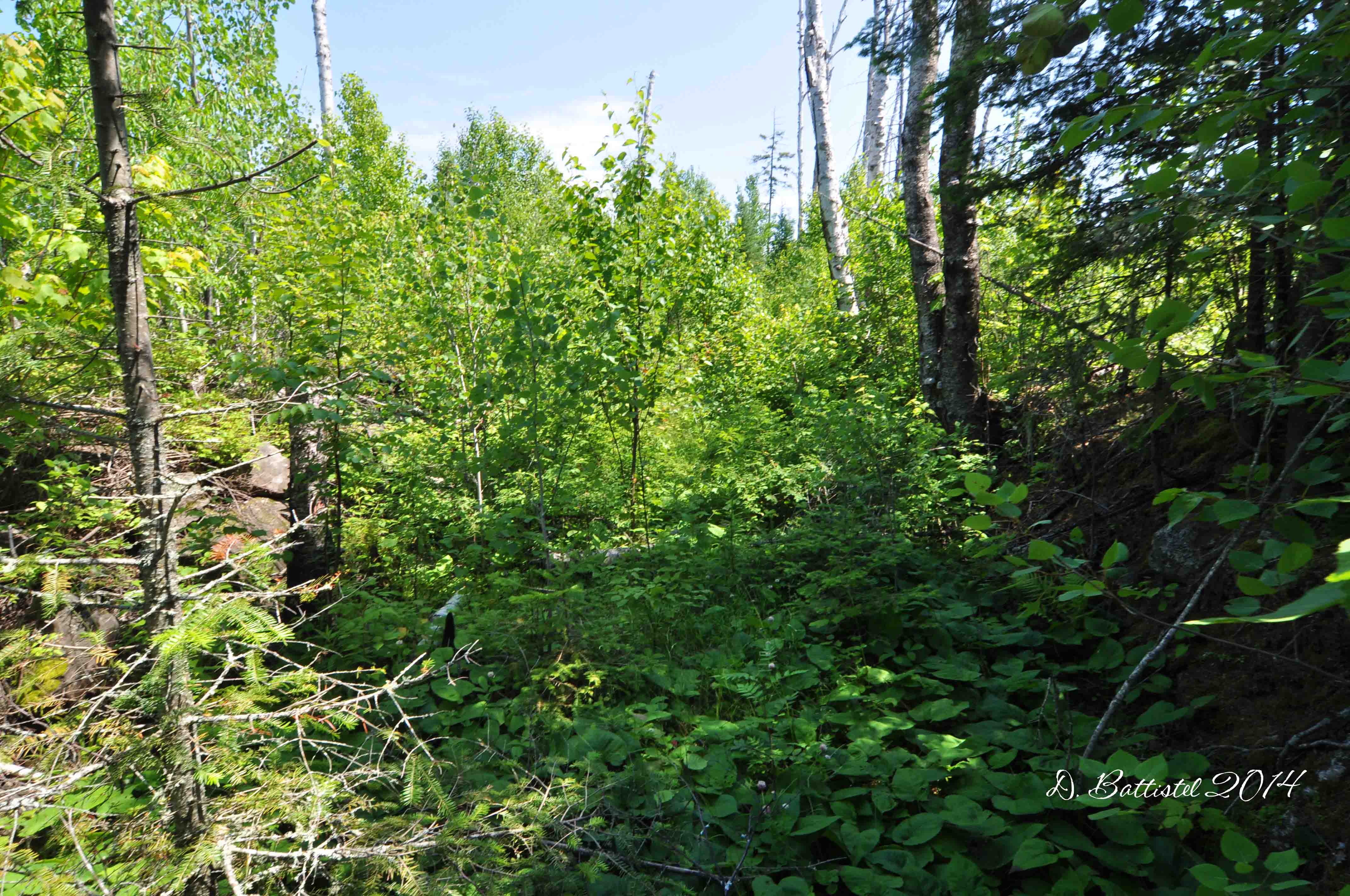
Until the 1999 blowdown, the grade of the G&LS in Ontario was a nice little trail about 400 metres long. The blowdown and 2007 fire unfortunately did a number on it and I remembered how difficult it was to explore from my experience 3 years earlier. My plan was to hike to the PAD&W, cutting a trail and marking it for future exploration in the fall or next spring when it would be more visible without the leaves. It would be a little more challenging without my trusty machete (which first hiked with me in 1994) since I wasn’t comfortable taking it across the border. That left me with my K-Bar knife, another trusty friend, but its packs a little less punch than the machete.
It did not take me very long to realize that this would be a difficult journey. Away from the lake it was stifling hot in the bush, and the thick forest growth made it very difficult to cut a trail. Very quickly I was dripping in sweat and the mosquitoes and black flies were eating me alive (even active bug dope doesn’t last long with that kind of perspiration). It took me over 2 hours to cover all 800 metres, which is rather ridiculous (most people can walk that in 20 minutes).
After photographing the area where the grade crossed into Minnesota, I jumped into the boat for a 1.5km journey around the peninsula to where the railroad rounded a bay and crossed a small river. However, try as I might, I could not find a place to beach the boat to start the hike. I was forced to backtrack to the narrows between Gunflint and Little Gunflint. It was a bit of a challenge getting into to the narrows; this year with all the snow and rain, the water on the lakes is several feet above where it normally is. I had to fight a very strong current coming through the narrows before I could beach the boat.

Boundary Marker, Gunflint Lake, July 2014.
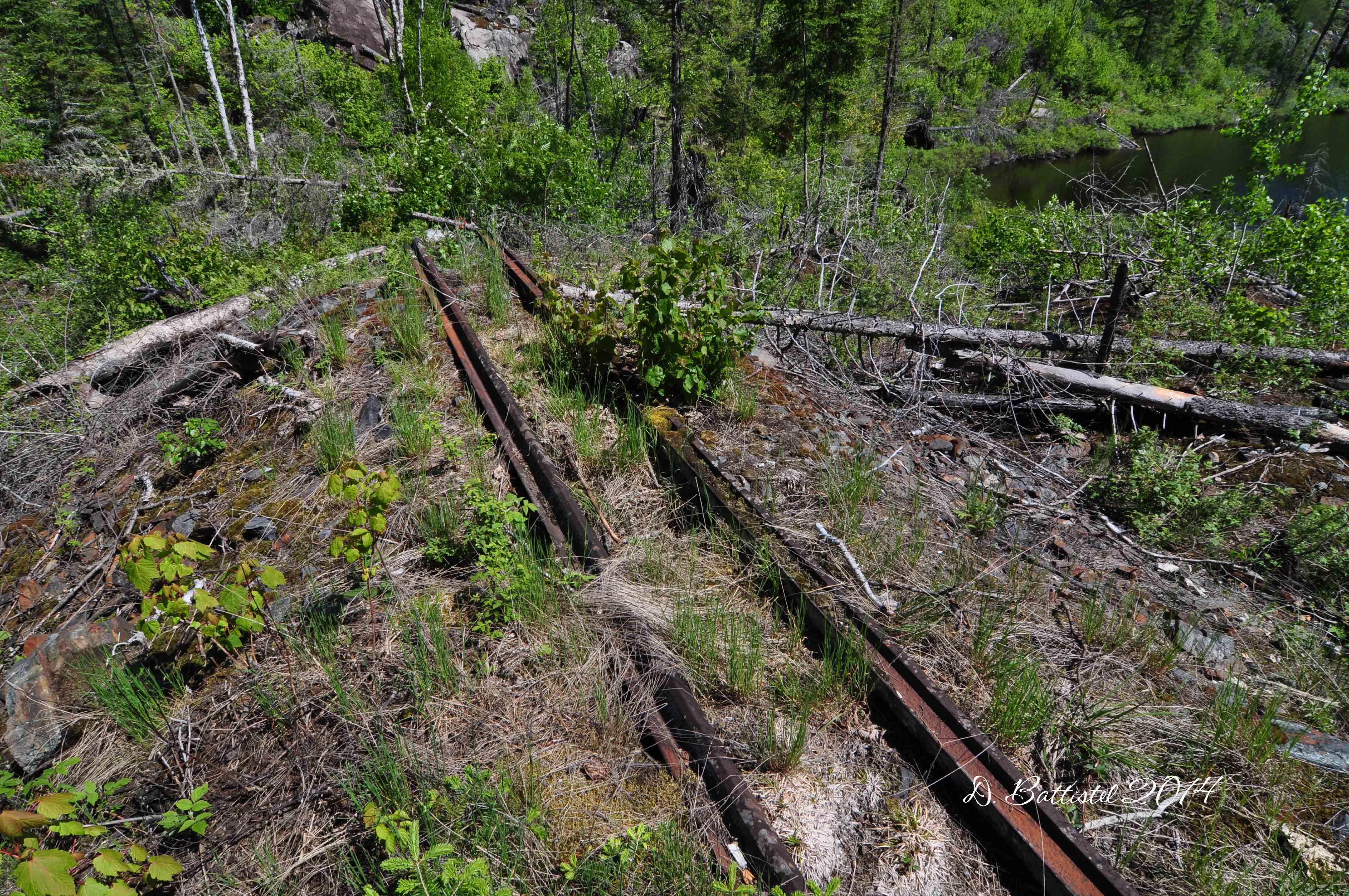
G&LS Crossing, Gunflint Lake, July 2014.

G&LS Crossing, Gunflint Lake, July 2014.
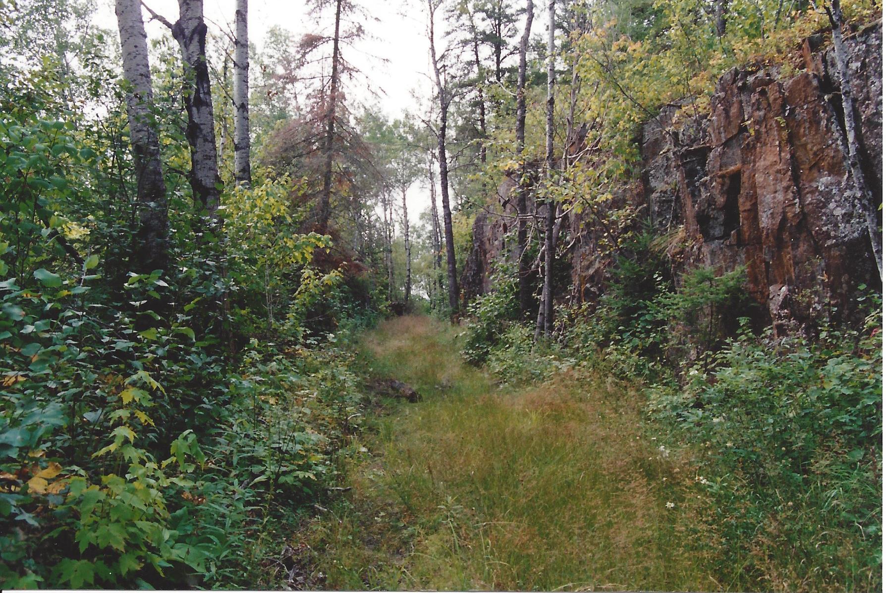
It was after 1:00 when I started on the 750 metre journey along the twisting grade to the bridge crossing. This was going to be an interesting hike for me, as I was entering some “virgin” territory if you will. I had only ever hiked about 100 metres of this portion of the G&LS so I was excited to see what I would find. The only downside was that the wind had dropped and the temperature was climbing fast.
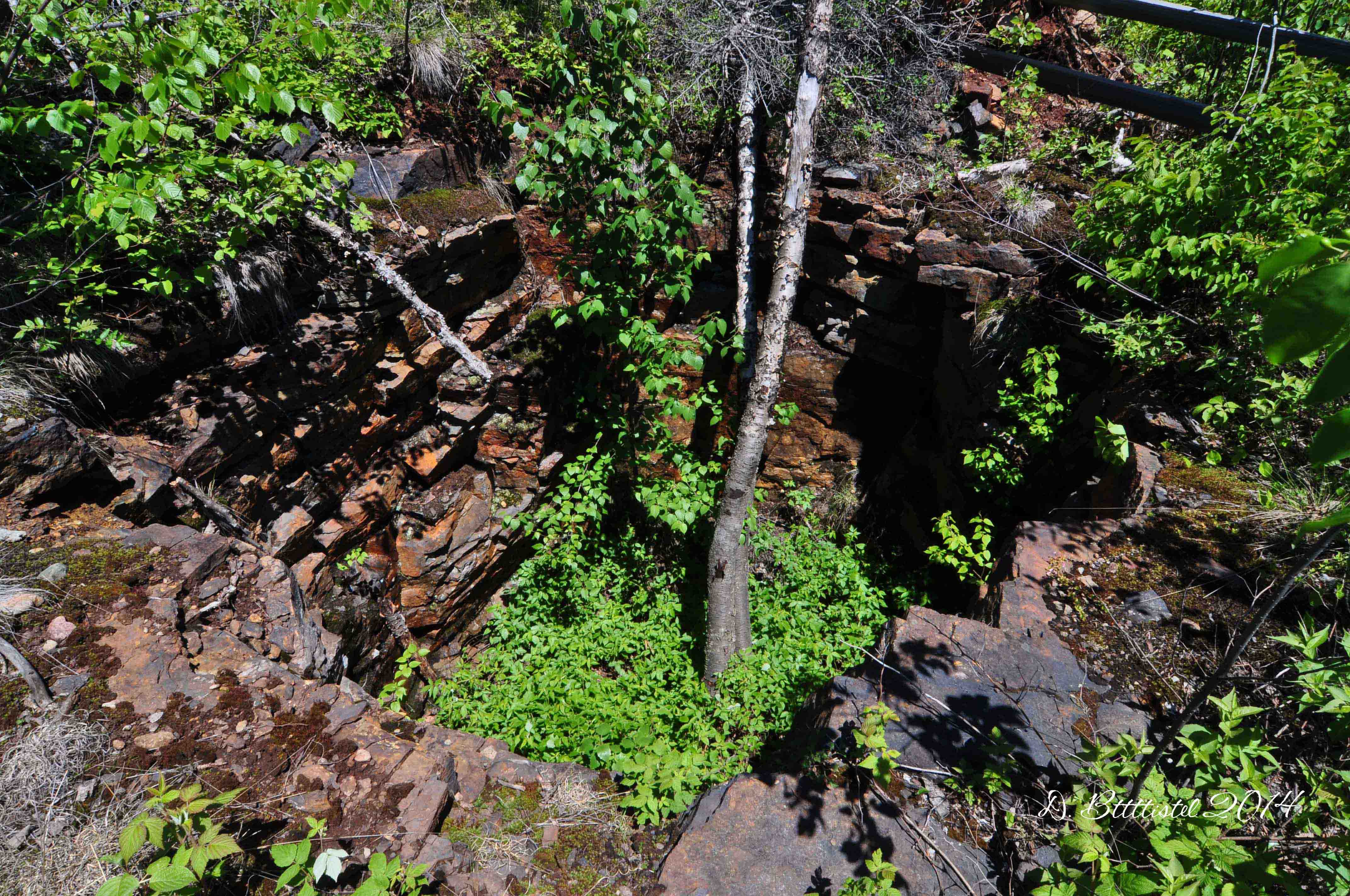
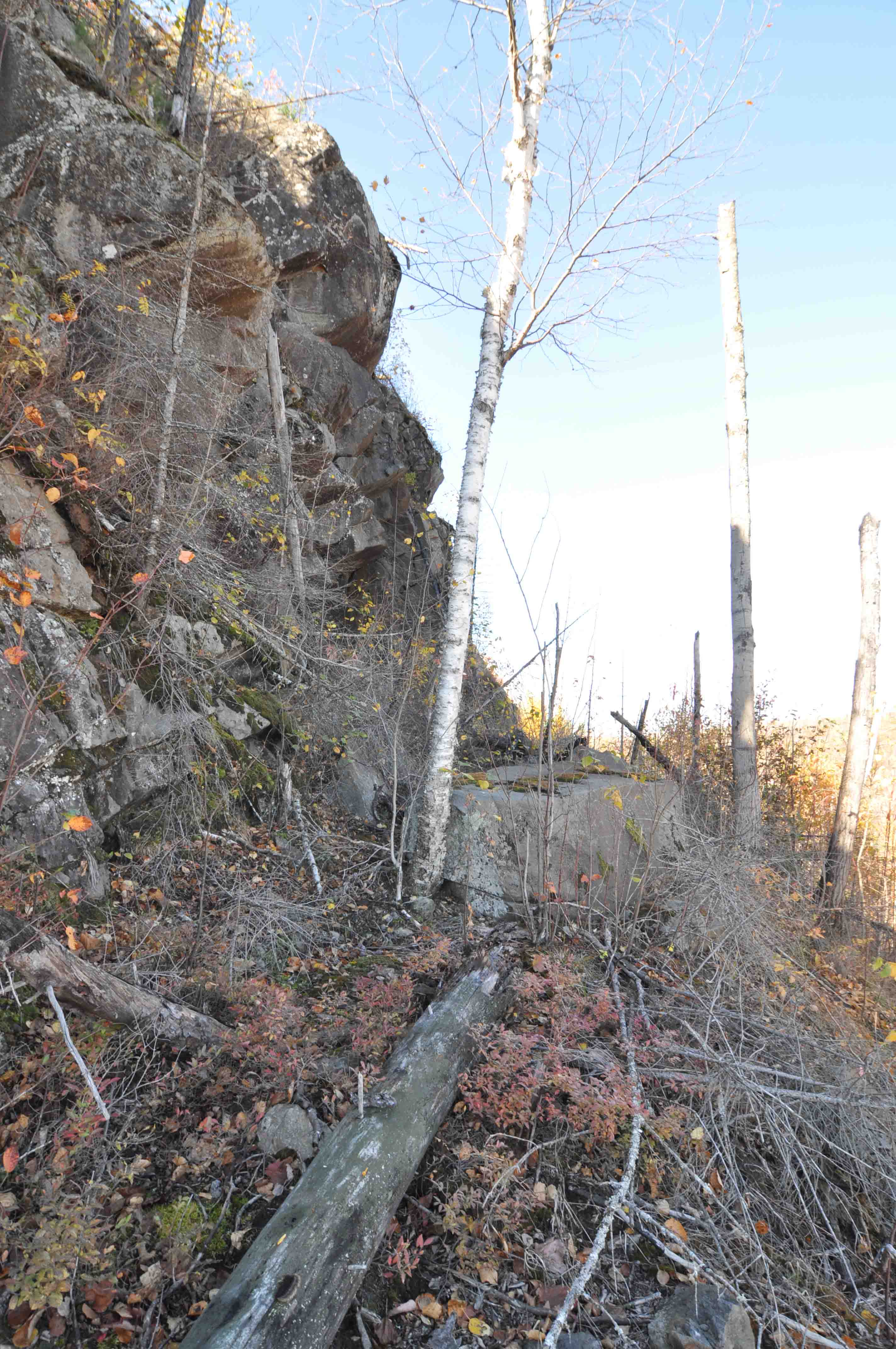
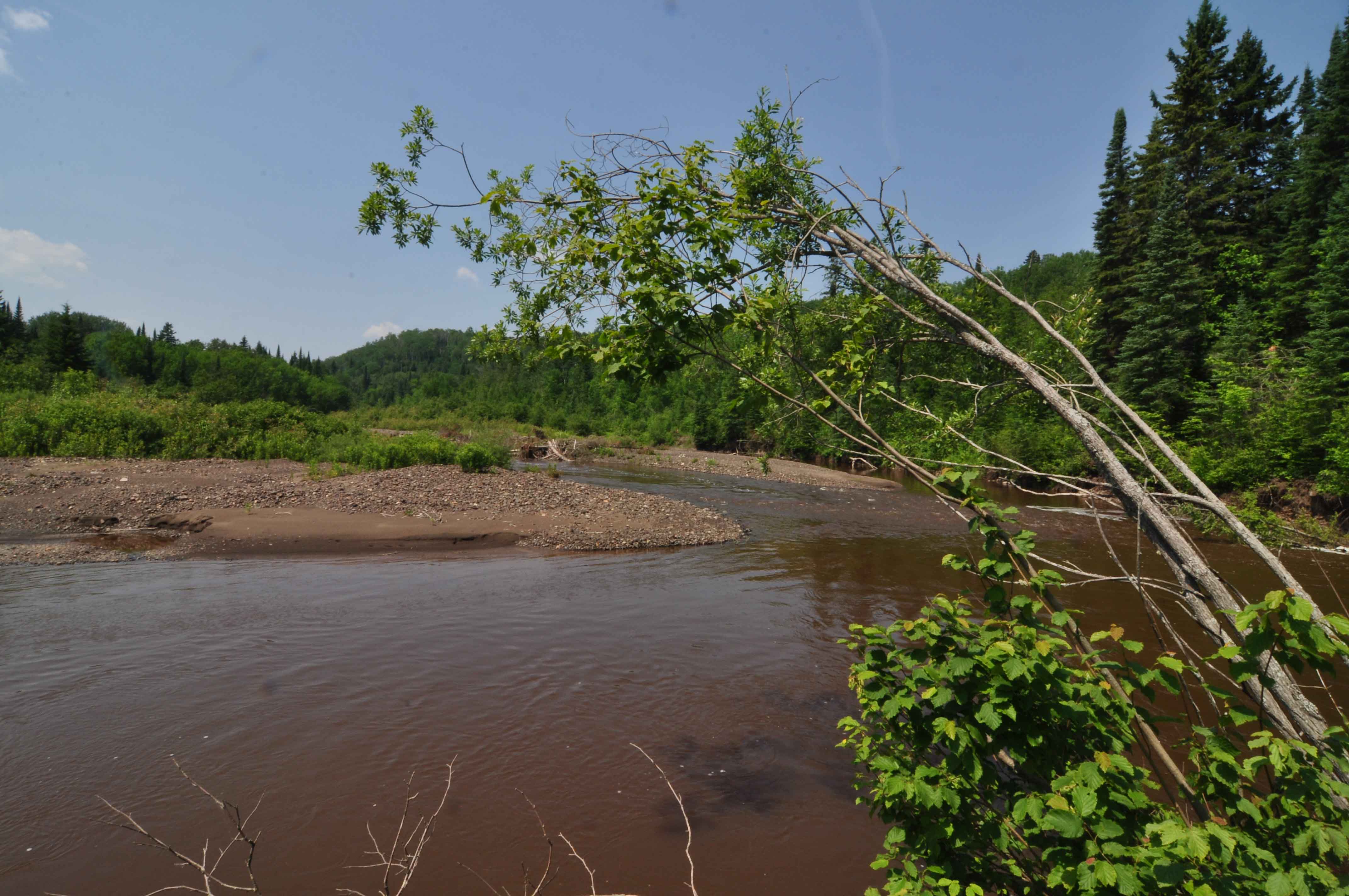
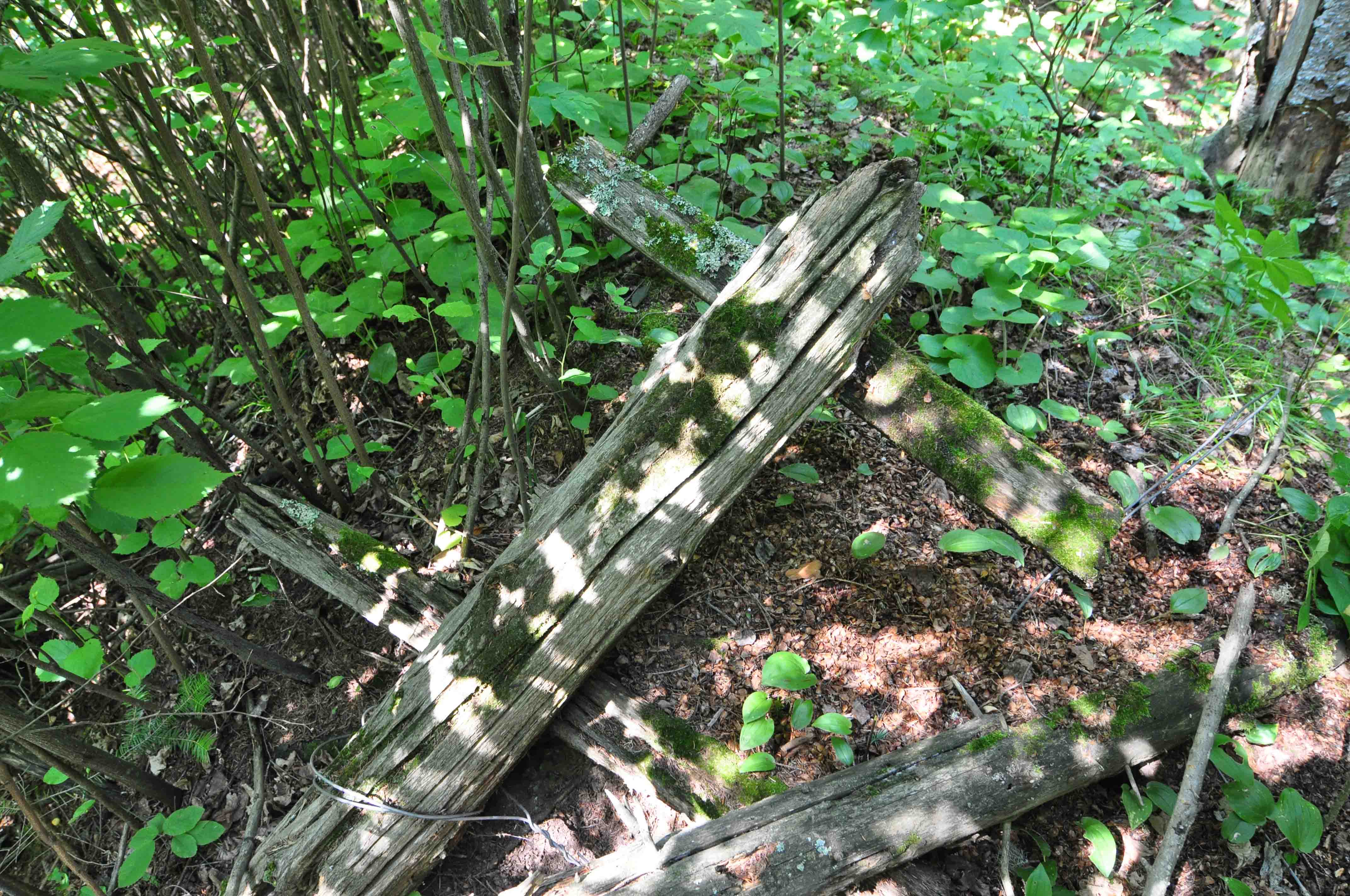
This section of the G&LS turned out to almost as bad as the one I had hiked in the morning. There was a lot of deadfall and new growth, but there was a lot to see as well. For a logging railroad, this part of the line was very well constructed. There were a few sizable rock cuts, and rock fill had been used in a number of places. Corduroyed logs were still visible in the water under parts of the grade, exactly where they were placed some 111 years ago. I did get sidetracked a little bit, losing the grade for a short distance until I backtracked and got myself going in the right direction. When I reached the river crossing, I was unable to continue following the grade to its end due to some wet ground; it would turn out to be mute a point anyway since I slightly miscalculated the exact location of the crossing.
G&LS rock cut, Gunflint Lake, July 2014.
The journey back was a bit of an ordeal since the heat was beginning to take a toll on my body. Despite drinking water and Gatorade to keep myself hydrated, my legs began to cramp trying to negiotiate all the fallen trees and brush. I really had to will myself back to the boat and it reminded me so much of my experience in 2011. When I later returned to the lodge the thermometer was showing 94F, which works out to be 34C and with the humidity it was nearly 45C!
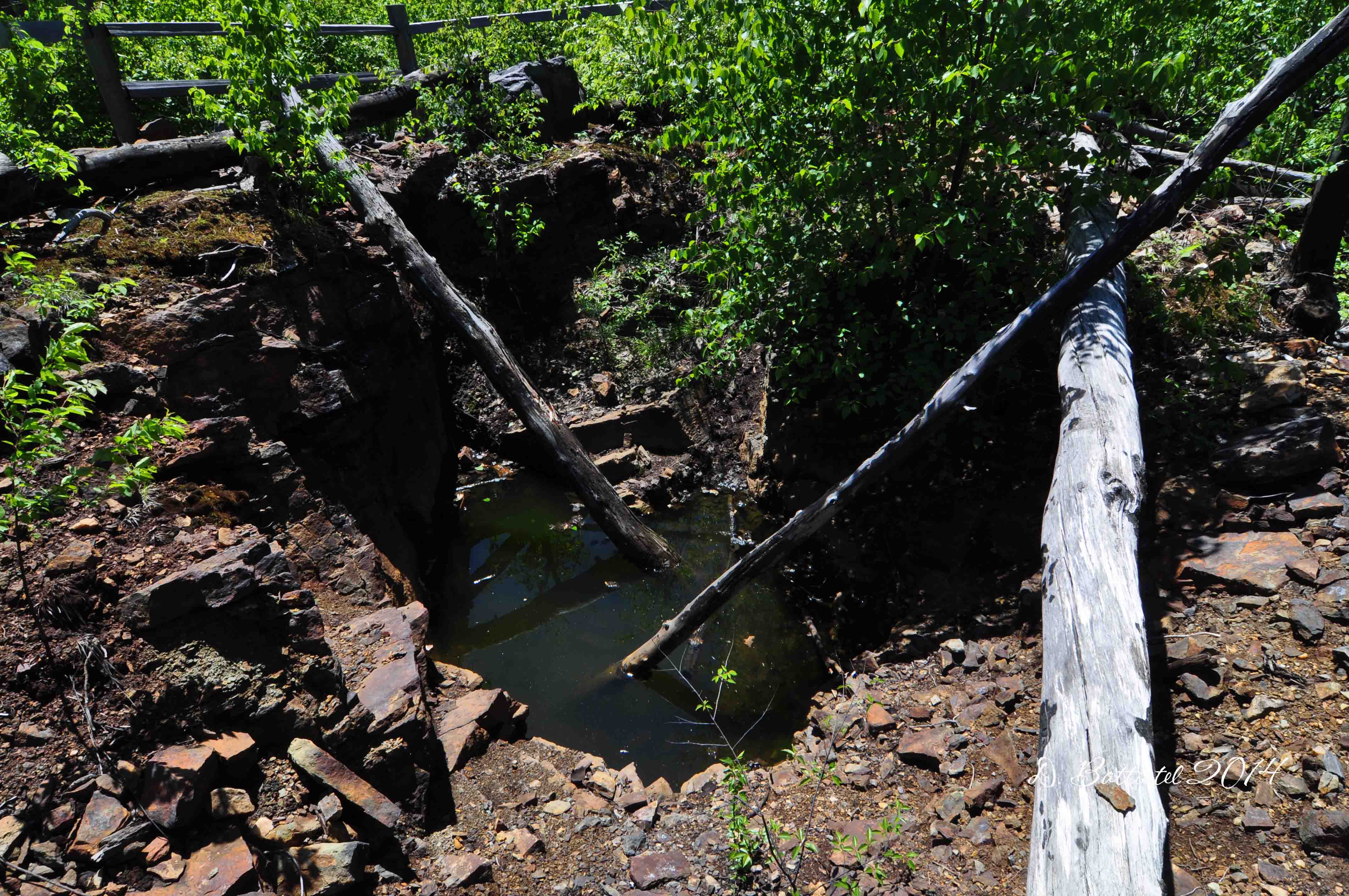
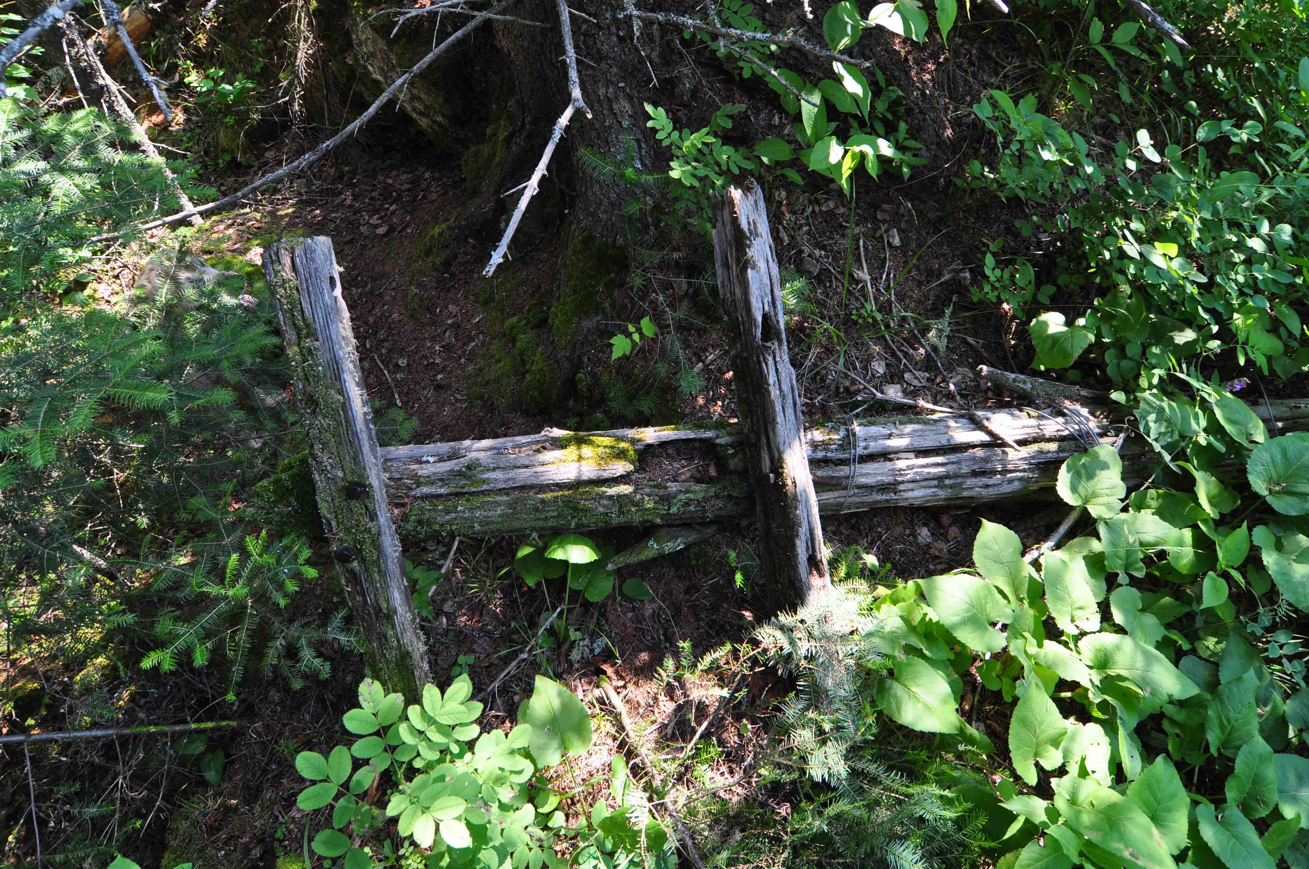
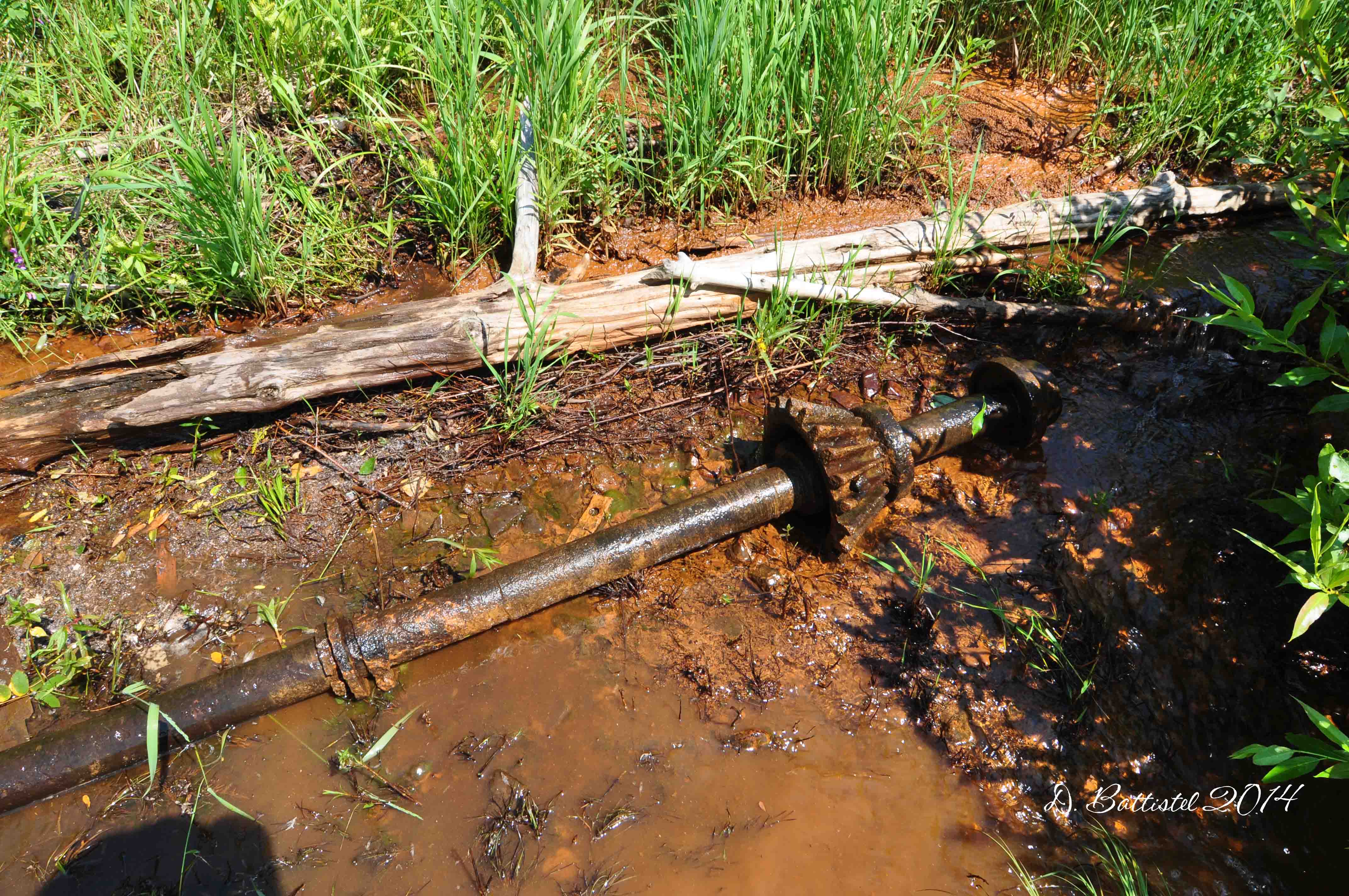
Now despite the searing temperatures, I was not finished for the day. Back in 1997 I had identified a piece of “machinery” near the site of the logging camp along the G&LS. It turns out that this was not some random chunk of steel, but rather a gear shaft from a specialized locomotive known as a Shay. Made by the Lima Locomotive Works, Shays were used typically on logging railroads because of the heavy grades involved. The kind folks at shaylocomotives.com had helped my identify one of the engines used by the G&LS as SN-164, but they wanted me to measure the shaft to confirm it. Turns out this shaft was not from SN-164, but most likely from another loco SN-683.
Shay shaft, Gunflint Lake, July 2014.
Unfortunately my next day of exploring was a bit of a wash due to some heavy rain overnight and some pretty wicked winds on the lake. I did venture out after supper for a quick run (which is a relative term, since it is 6km away) to Leeblain. I had not been there since last August, so I figured it was time for a check in. My excitement very quickly turned to disappointment though; I was not very pleased at what I saw, but I’ll save that thought for my later.
Wednesday was my last day and even though I was leaving, I was hoping to make up for some lost time. I had to move quick though, as I needed to be home by the early evening. My first stop across the lake was the site of the river crossing just south of Monday’s hike. I beached the boat and poked around a bit looking for the where the grade resumed. I became very frustrated when I could not find anything, so I jumped back into the boat hoping to find some traces of the bridge. Turns out I could not find anything as I was looking about 15-20 feet too far west. I’ll have to get back when I have more time and when the water is lower to expand this find.
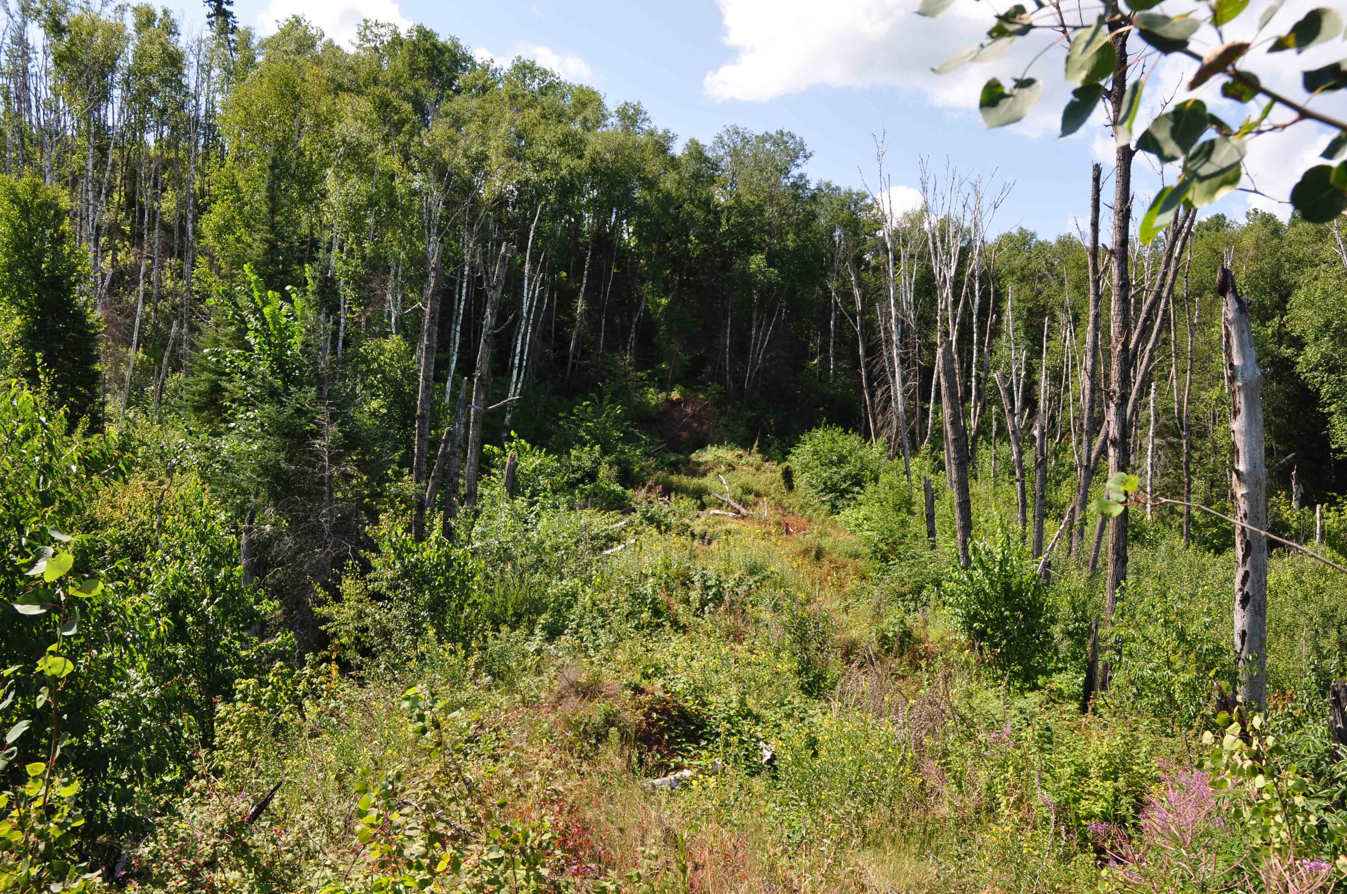
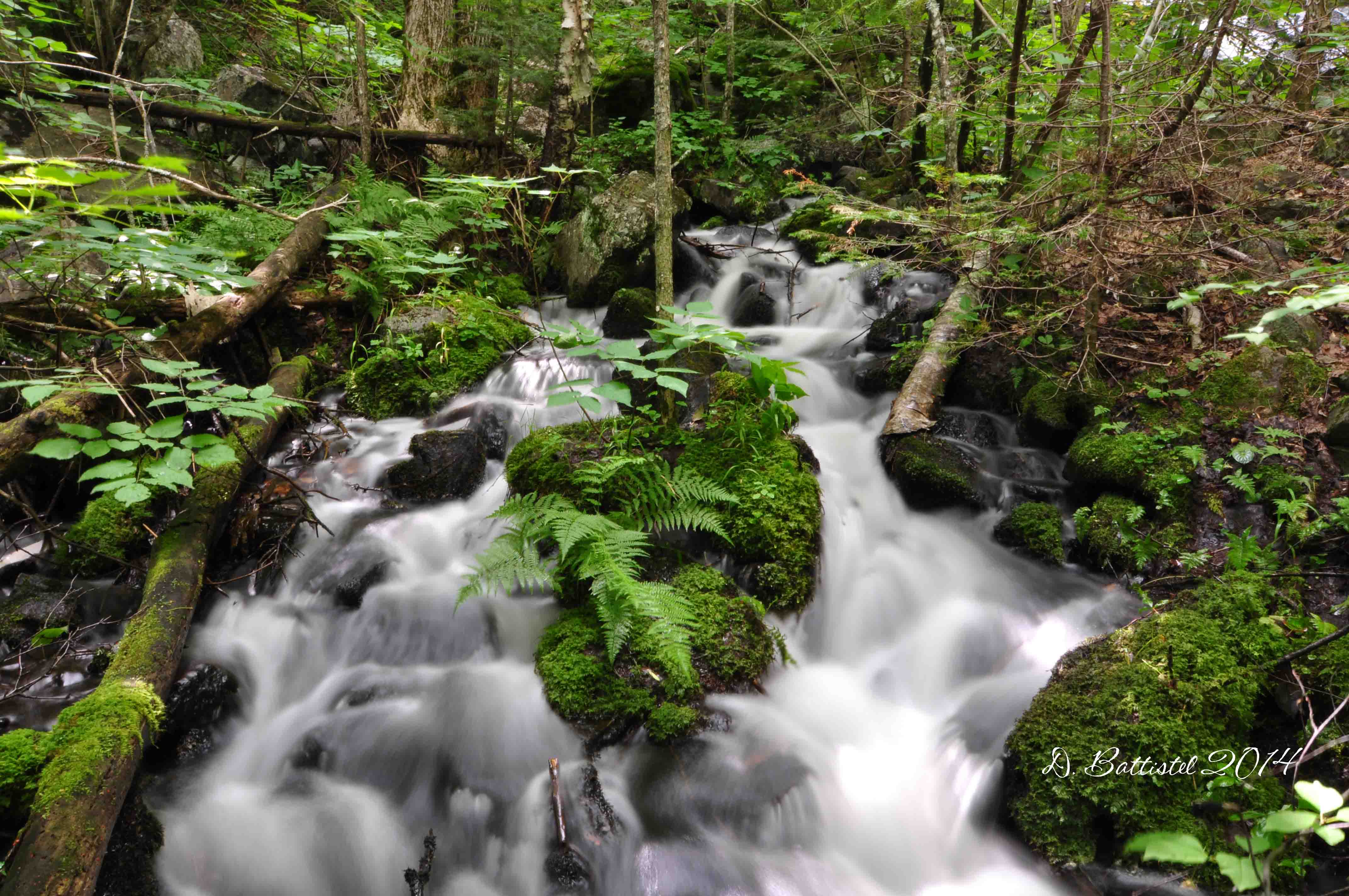
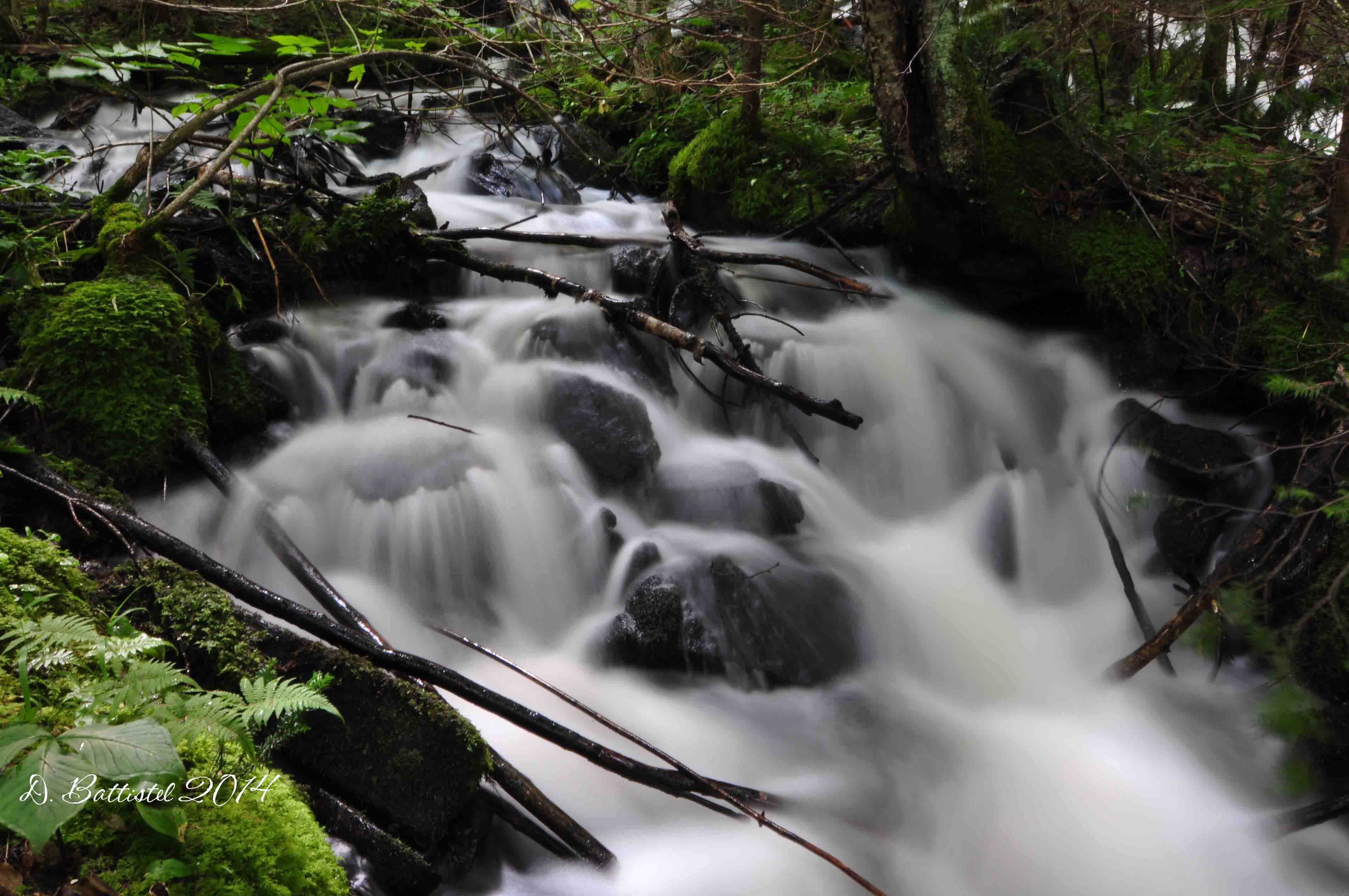
From the river I drove 2.5km southwest to where the Crab River empties into the lake. There a 600 metre trail that heads west toward a beautiful set of falls known as Bridal Falls and about 40 metres beyond that is the grade of the G&LS. I was last there in 2011 and the trail at that time was much easier to negotiate; this year’s weather left sections of the route very wet and muddy. However arriving at the falls was well worth the walk, but that would have to wait for later.
The falls had more water cascading over its rocks than I ever remember seeing, which made it a real challenge crossing over the river toward the railroad. Before the 2007 fire there was an amazing wood corduroy trestle beside the falls, but that is a story for another time. Starting at the top end of the former trestle, I worked my way up and south over the ridge toward Crab Lake. Eventually after about 200 metres the grade became too wet for me to follow so I decided to leave it for my return trip in the fall.

G&LS rock cut, Gunflint Lake, July 2014.
Before I had to make my way back across the lake to the lodge I had a little spare time to do something that I haven’t been able to indulge in in recent years. Since I caught the “bug” in the early 1990’s, I have always loved photography. Before marriage and a family I had time to do both the railway and photography, but those times are long gone, so it is very rare that I have time these days to take photos. I found myself getting a little giddy as I snapped away!
Bridal Falls, July 2014.
Bridal Falls, July 2014.
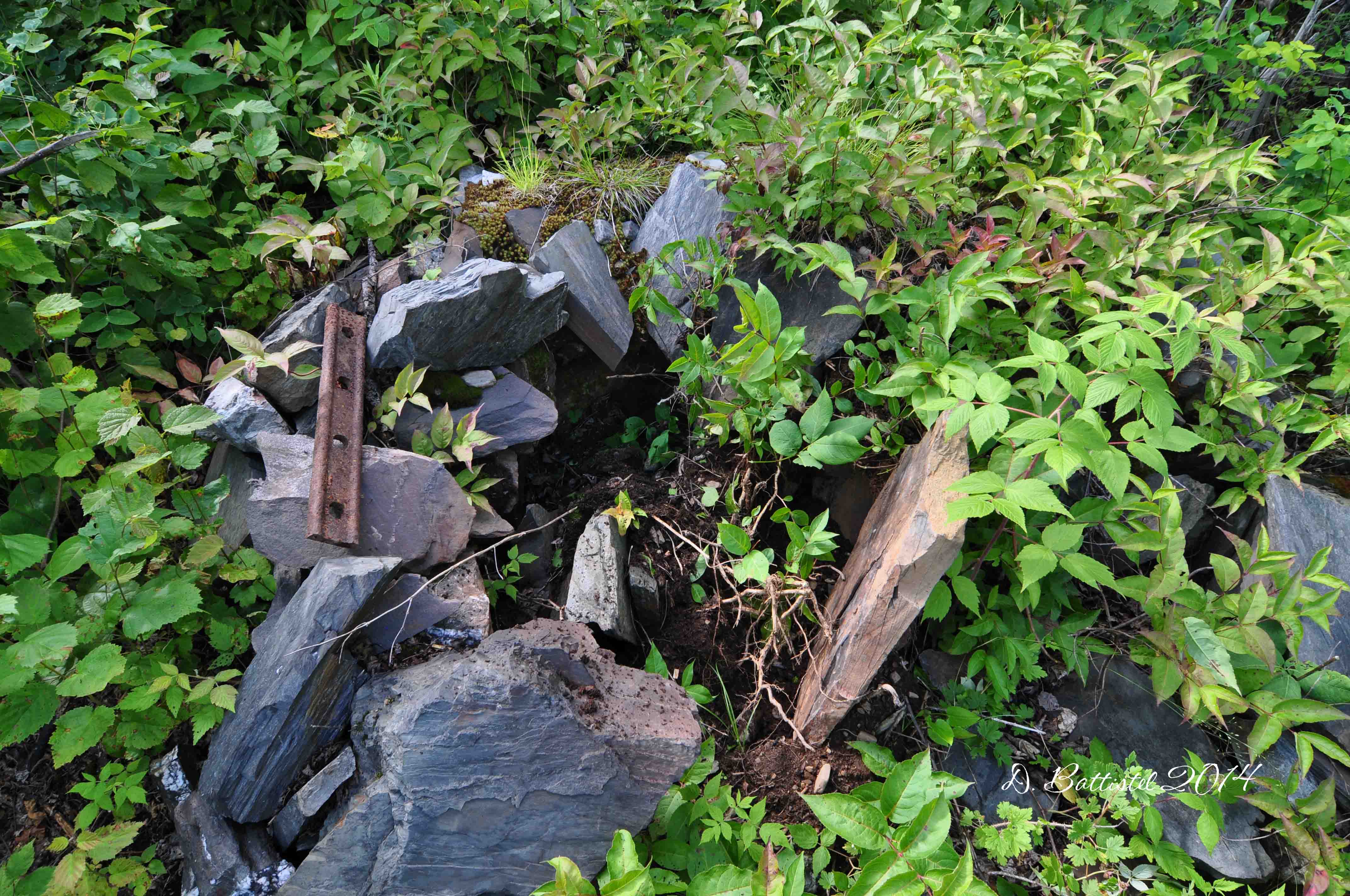
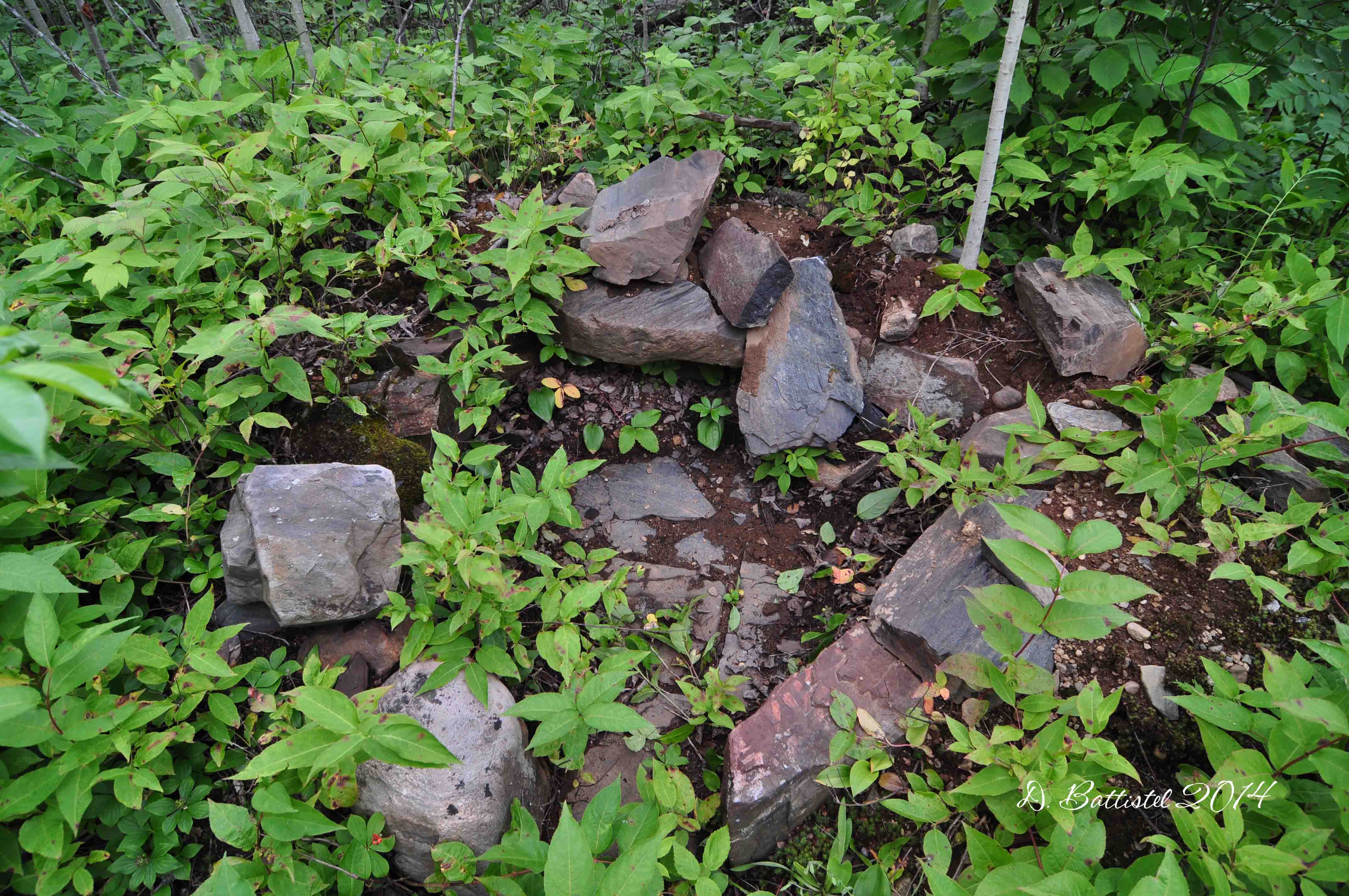
Now one of the biggest results of the whole trip was what I discovered at Leeblain. I didn’t have a lot of time to poke around, but I did check over the rock ovens. I found that two of the three remaining intact ovens had been tampered with. I don’t think it was a malicious act, but rather an attempt an individual (or individuals) to help? clean up the ovens. However at 122 years old and having been through a lot of turmoil in the past 15 years, this is not the type of interference they need. Unfortunately this is not the first example of someone trying to “help” these historic sites. I have followed this up with a series of emails; I’ll see what transpires.
Rock oven, Leeblain, July 2014.
Rock oven, Leeblain, July 2014.
Anyway, I better get rolling. There’s a lot to digest in this post, so I better save some for next time. Until then…