Yep, that about sums it up! Older? Well, I am going to be 40 this year, but it is more of a reflection of the fact that I can’t do everything I once did effortlessly like I did in my 20’s. Dumber? How can you be dumber Dave? You are almost 40, right? With age comes experience and knowledge! Yes it does, but it doesn’t necessarily prevent me from being a bonehead. One can still be *gasp* middle-aged and still be astoundingly dumb…case in point. So, how were you a dummy Dave? Please, read on.
So summer is now in full swing, as we are now into the third week in July. The weather has been all over the place; one day hot, one day rainy…it just can’t make up its mind. Yesterday was just plain stupid hot. Stupid hot you say? Well, it hasn’t been anywhere close to that temperature all summer, then all of sudden it is 40+ Celsius with the humidity. Craziness! Hopefully this means things will start to settle down, especially with all the rain we’ve been receiving lately. The rivers and creeks are high, which makes my hikes a little more challenging (as mentioned later).
As I write this I am sitting in a hotel room in Sault Ste. Marie…Ontario. The family and I are on the first leg of our trip to Toronto and we’ll be in the centre of the universe by tomorrow afternoon. The boys are very excited for the trip; first to see their uncle, and second to experience all the cool things to see in the Toronto area. We’ve never come here as a family, and I have not been to southern Ontario since 2006.
Day One was fine, though eight hours behind the wheel was a bit tiring. I do love the drive though; the scenery is spectacular! What wasn’t exciting were the constant stops for construction. If you’ve never heard this one, the joke is that there are two seasons in Canada-winter and road construction! I’ll have more to say about our trip in my next post.
Things have been busy on the railway front. I did get out for a hike last week, which was much more successful than the previous week (which I’ll talk about shortly). We’re also slowly putting everything together for History Day, which is less than a month away. There are so many little things to plan and prepare. I’ll put up a copy of the poster once it’s ready.
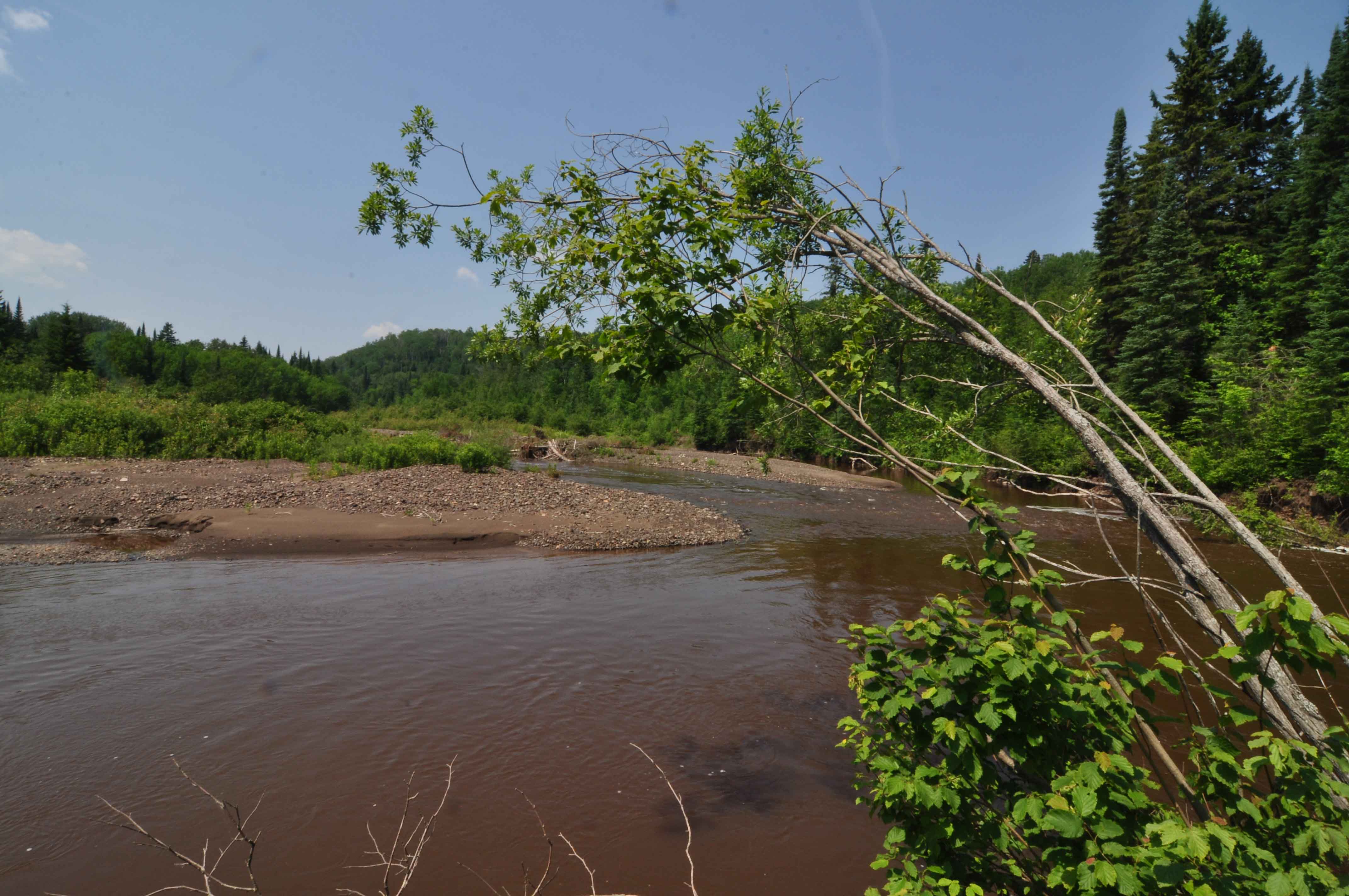
Obviously the highlight of the past week was my hike at Leeper (mile 31 of the railway). Where is Leeper you ask? Well, it doesn’t really exist anymore, other than a road that runs off Highway 588. It is located about halfway between Hymers (mile 28) and Nolalu (mile 34). It is marked by several crossings of the Whitefish River, the remains of which are still very visible. I was last there in 2009, but I didn’t shoot any video, which was the reason for my re-visit.
The trick for this hike was going to be where to start. Leeper was located on the south side of the Whitefish River, just east of a crossing of the river. It has rained quite a bit lately, so I figured it would be a challenge to get across without getting wet (I hate walking with wet boots). So I decided to park north of the river, near the old highway crossing (the new bridge is about 85m east of the old one). From there I would walk to where the first bridge was located; what I didn’t take into account was how far away that bridge was. Thankfully there was an old road that brought me right to that spot after a 430m walk.
Finding bridge remains is always a challenge due to the shifting course of the Whitefish. It has moved quite a bit since the railway was built through the area in 1890, obliterating some sections of the railway. The crossing at Leeper is no exception. There are pilings and parts of the abutment in the west bank, but I cannot even find where the eastern side might have been. I have looked around on several occasions, but have come up empty. Right now the bridge looks to be about 60m long, but in actuality it was probably shorter than that.

Bridge crossing, Leeper, July 2013.

Bridge remains, Leeper, July 2013.
Immediately west of the western abutment (about 50m), I encountered the first effects of the river erosion. The river has shifted again, but at some point after 1938 it washed out a 75m stretch of the rail bed. These detours make hiking a bit challenging, as picking up the grade on the other side isn’t always easy.
It was at this point that I realized that I had not calibrated my GPS for the altitude of Leeper station (I like to try to plot the rise in elevation of the grade). I didn’t have the number on me (it’s about 1000ft), so I thought I’d be smart and call my wife for it. Her reaction was quite interesting; after explaining what I wanted her to do, she answered with “why don’t you look it up yourself?” She did give me the data, and as I hung up I stared blankly at my iPhone in my hand. It took a few seconds to realize that I called my wife on a device that has a connection to the internet. I thought, “man, you’re a dummy!’
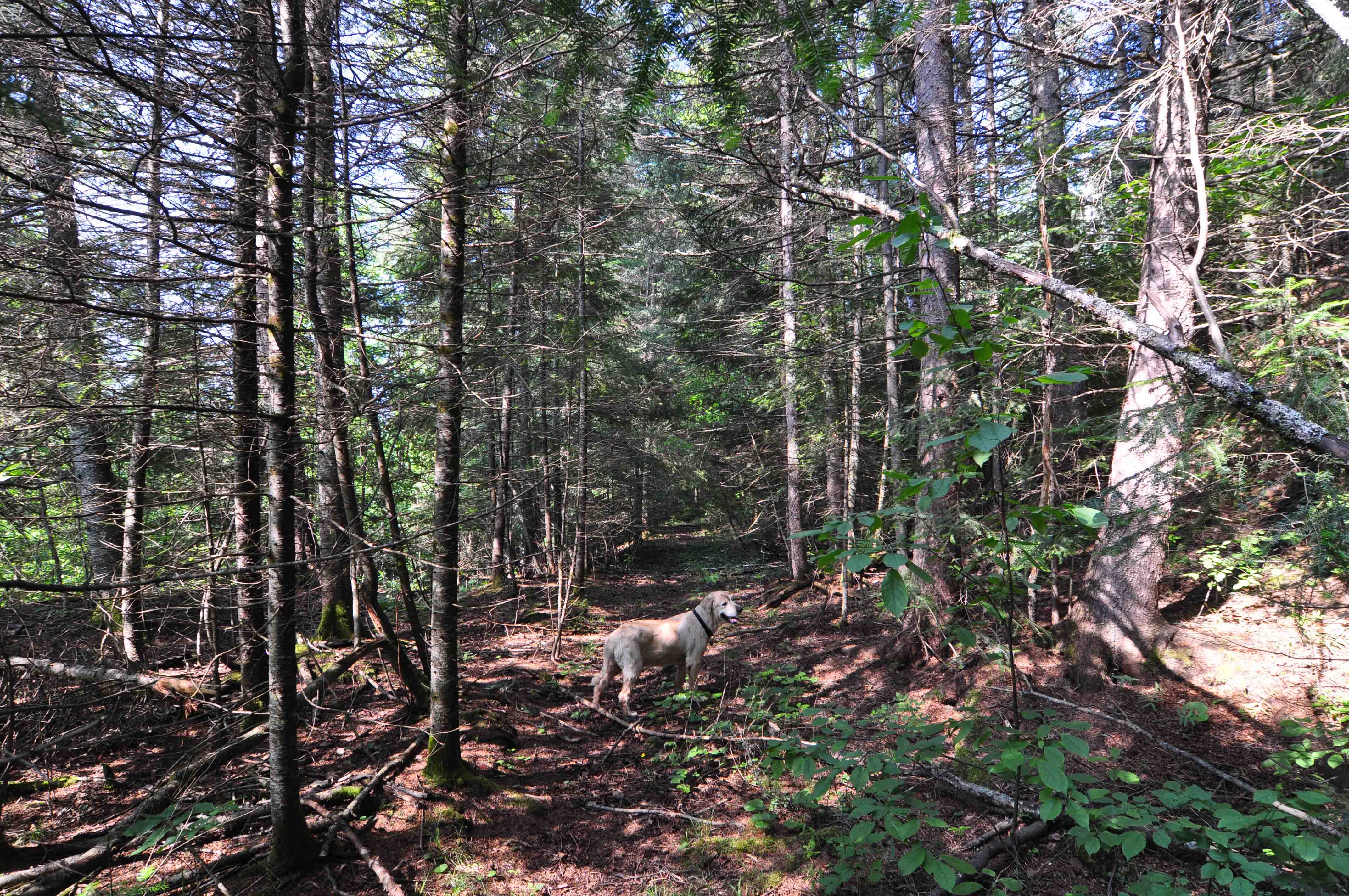
The major feature of the grade in this area (other than the bridges), are the near constant cuttings that are present. The railway skirts along the south side of a large ridge and the grade is cut into the side of that ridge. It makes for a very well defined, picturesque area.

Rail bed, Leeper, July 2013.
Almost 500m past the previous washout, I arrived at yet another area of erosion, this one for about 90m. This area had fallen victim to the hydraulic effects of the river, but it was very evident that the railway engineers were concerned about this along the whole section. I passed several areas where rock fill had been placed at the bottom of embankments and it was clear that the river had once passed alongside.
Erosion, Leeper, July 2013.
One hundred and eighty metres past the erosion I encountered an approximately 20ft creek that appeared to have been ravaged repeatedly by torrents of water; what remained of the bridge or culvert was displaced and pushed downstream several feet. Again I had to fuddle around trying to pick up the grade on the west side.
From here the railway continues another kilometre to the second river crossing, dominated by very long cuttings and embankments. In many places the grade opens up and is very easy to walk along. In my head I thought about how it would have looked when the trains were running and how pretty it must have been alongside the river. It would make an awesome hiking trail!

Cutting, Leeper, July 2013.
Cutting, Leeper, July 2013.

Cutting, Leeper, July 2013.
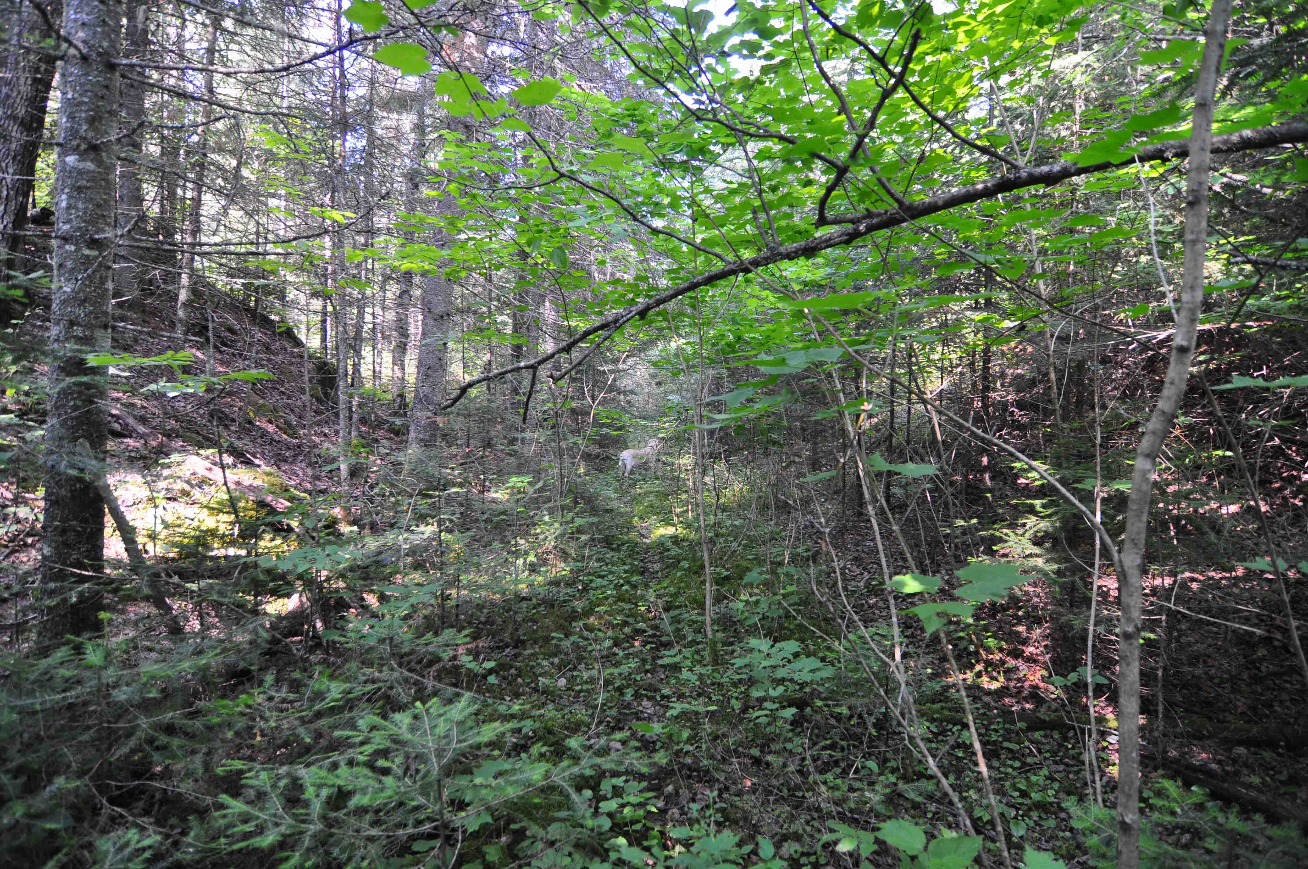
Cutting, Leeper, July 2013.
One of the other reasons why I wanted to return to this section was that it contains a few well-preserved telegraph poles. I had found two on my previous hikes and I was hoping to find more. Locating them is a bit of a challenge, especially given their age (it’s been 75 years since the line was abandoned). I found the remains of a few more, but they were both in very bad shape.
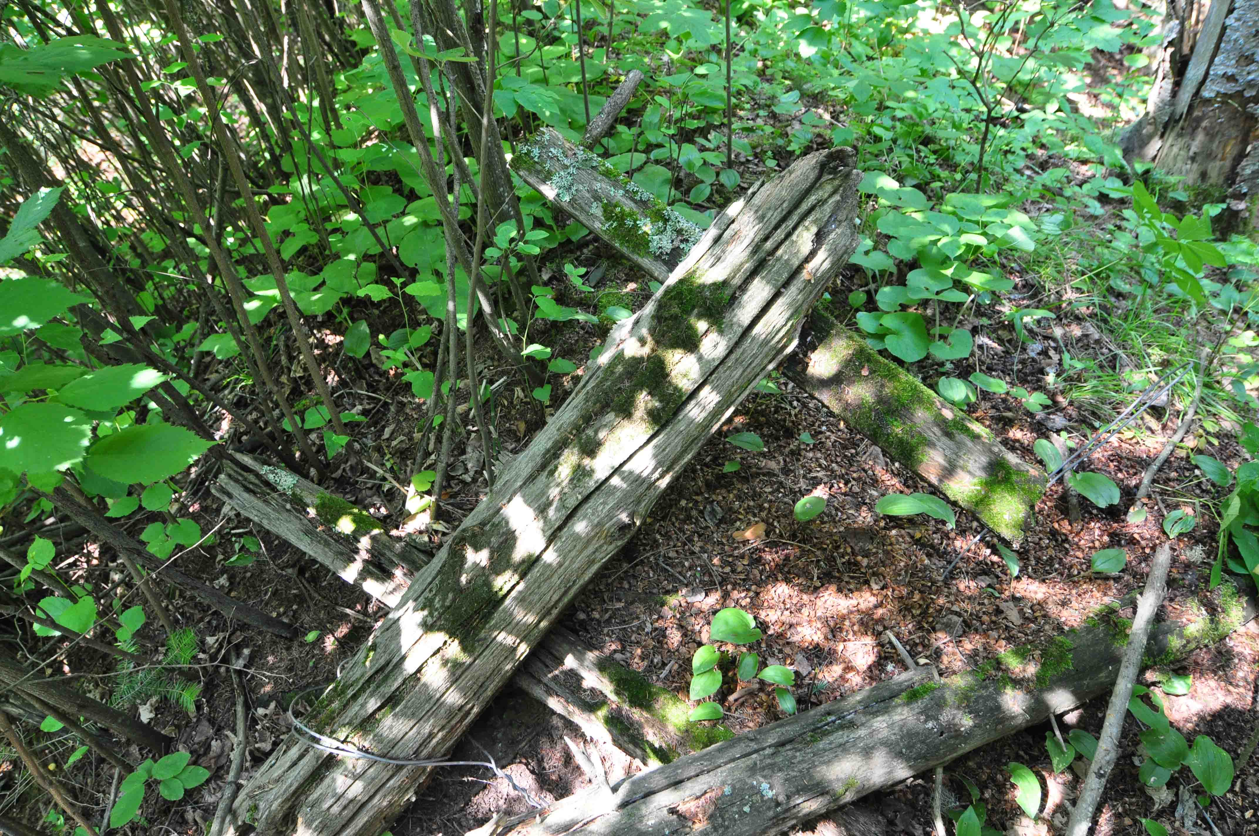
Telegraph pole, Leeper, July 2013.
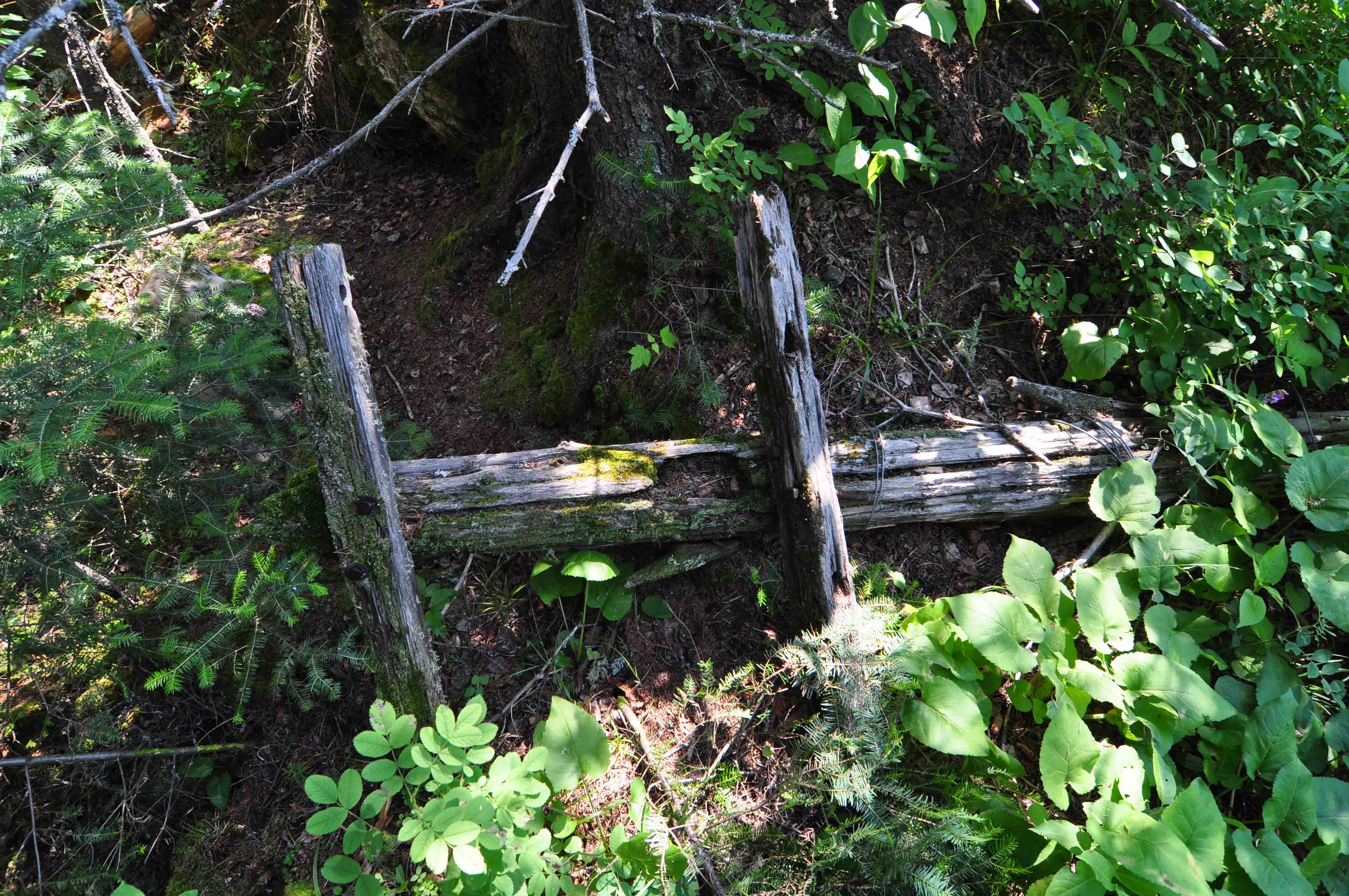
Telegraph pole, Leeper, July 2013.
My original intention for the hike was to push about 500m past the second river crossing to the third crossing, but my efforts were thwarted by the river. It was much higher than I expected (higher than it was in 2009 and that was high) and would make any attempt to ford very dangerous. I’ll have to cover this section when I do part two of the hike, this time coming in west from Nolalu…I can’t wait!

1960 Ontario Geological Survey.
Anyway, time to wrap up. I have another long day tomorrow and I need my rest. I’ll be skipping a post due to the trip, so I’ll be back in a few weeks. Until then…
